
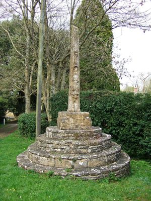
Village cross, high cross in Horsington, South Somerset, Somerset, UK
Posizione: Horsington
Coordinate GPS: 51.01314,-2.42465
Ultimo aggiornamento: 8 marzo 2025 alle 20:08
Church of St Mary, Abbas and Templecombe
1.3 km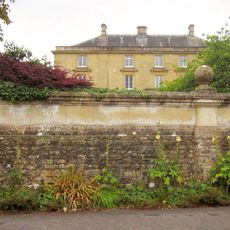
Horsington House
89 m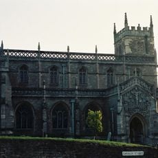
Church of St Peter and St Paul, Wincanton
4.7 km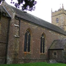
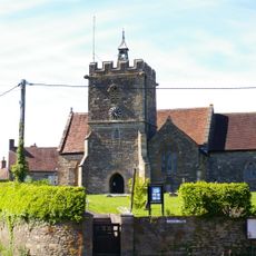
Church of St John the Baptist
149 m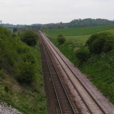
Laycock Railway Cutting
3.6 km
Church of St Nicholas
4.5 km
Church of St John the Baptist
2.5 km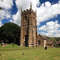
Church of St Peter and St Paul
3.9 km
The Church Room
4.6 km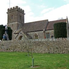
Church of St Nicholas
3.5 km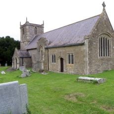
Church of St Mary Magdalene
2.2 km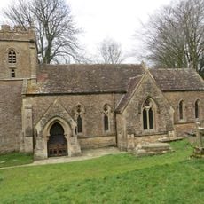
Church of St Peter and St Paul
3.9 km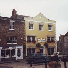
Wincanton Post Office
4.9 km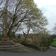
North Cheriton War Memorial
2.5 km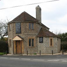
The Old Toll House
1.4 km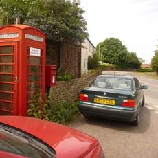
Letter Box And Wall, Immediately East Of The Warren
2.9 km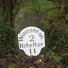
Milestone At Ngr St 6894 2692
3.4 km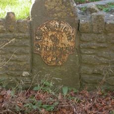
Milestone Set In Front Boundary Wall Of No.647 Main Road
3.9 km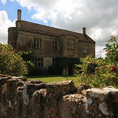
Front Boundary Wall, Piers And Gate, 15 Metres North Of Manor Farm House
3.9 km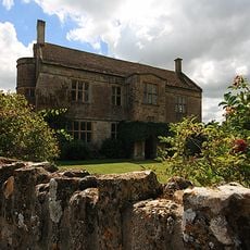
Manor Farm House
3.8 km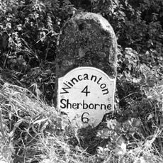
Milestone At Ngr St 6809 2574
2.9 km
Promontory fort on Barrow Hill
4.5 km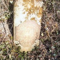
Milestone At Ngr St 6982 2850
4.7 km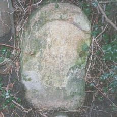
Milestone, near Witherleigh Farm, N of Maperton
4.3 km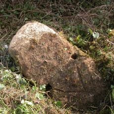
Milestone, NE of Charlton
3.2 km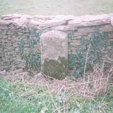
Milestone, SW of Henstridge, nr Toomer Farm
4.6 km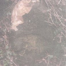
Milestone At Ngr St 6944 2654
2.9 km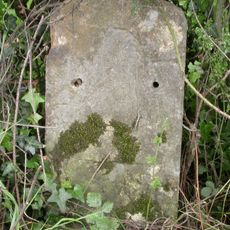
Milestone, 50m E of Bellman's Cross
4.3 kmRecensioni
Ha visitato questo luogo? Tocchi le stelle per valutarlo e condividere la Sua esperienza o foto con la community! Provalo ora! Puoi annullarlo in qualsiasi momento.
Scopri tesori nascosti ad ogni viaggio!
Da piccoli caffè caratteristici a panorami nascosti, fuggi dalla folla e scova i posti che fanno davvero per te. La nostra app ti semplifica tutto: ricerca vocale, filtri furbi, percorsi ottimizzati e dritte autentiche da viaggiatori di tutto il mondo. Scaricala subito per vivere l'avventura sul tuo smartphone!

Un nuovo approccio alla scoperta turistica❞
— Le Figaro
Tutti i luoghi che meritano di essere esplorati❞
— France Info
Un’escursione su misura in pochi clic❞
— 20 Minutes