
Wheathill, village and civil parish in Shropshire, England
Posizione: Shropshire
Coordinate GPS: 52.43458,-2.55997
Ultimo aggiornamento: 28 marzo 2025 alle 03:58
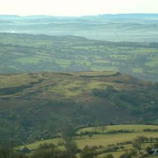
Nordy Bank
5.2 km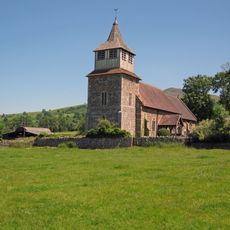
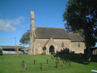
Church of St Mary, Bitterley
6.8 km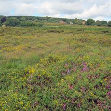
Catherton Common
4.2 km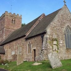
Church of St Milburga, Stoke St Milborough
5.4 km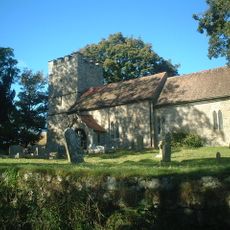
Church of St Michael
2.1 km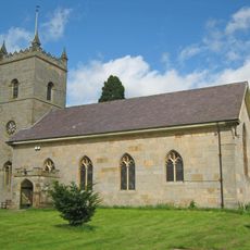
Church of St Michael
5.7 km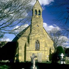
Church of St Giles
2.4 km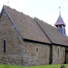
Church of St Margaret
6 km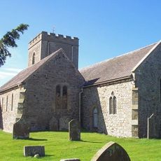
Church of St Michael
2.4 km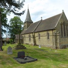
Church of St Mary
3.5 km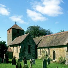
Church of St Peter and St Paul
5 km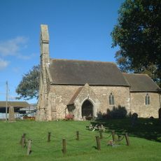
Church of Holy Trinity
229 m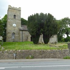
Church of St John
5.8 km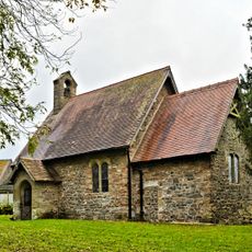
Parish Church
1.1 km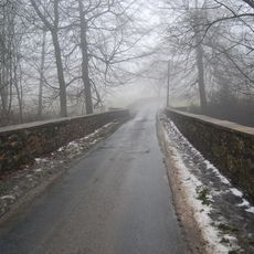
Hopton Court Bridge
5.6 km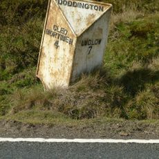
Milepost At Ngr So 6123 7598
6.1 km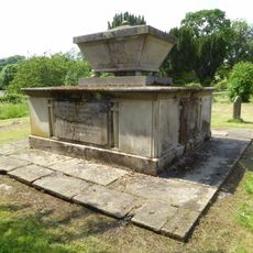
Tomb Of Thomas Botfield And Railings 35 Metres South Of Church Of St Michael
5.7 km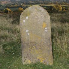
Milestone At Ngr So 6123 7598
6.1 km
The Manor
5.8 km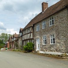
The Village (House Occupied By Mrs B Morris)
5.8 km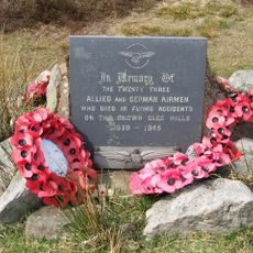
Brown Clee Hill WWII Flying Accidents memorial, Shropshire
5.3 km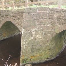
Stottesdon Bridge 1/3 mile (540m) N of Prescott Mill
4.3 km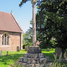
Cross in Churchyard of Church of St Mary
6.8 km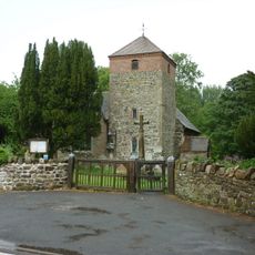
Cleobury North War Memorial
5 km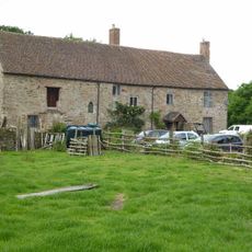
Manor Farmhouse and Byre
2.1 km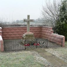
Wheathill War Memorial
1.8 km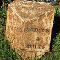
Milepost At Ngr So 5802 8080
4.2 km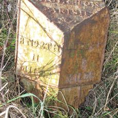
Milepost, The Gore
1.8 kmRecensioni
Ha visitato questo luogo? Tocchi le stelle per valutarlo e condividere la Sua esperienza o foto con la community! Provalo ora! Puoi annullarlo in qualsiasi momento.
Scopri tesori nascosti ad ogni viaggio!
Da piccoli caffè caratteristici a panorami nascosti, fuggi dalla folla e scova i posti che fanno davvero per te. La nostra app ti semplifica tutto: ricerca vocale, filtri furbi, percorsi ottimizzati e dritte autentiche da viaggiatori di tutto il mondo. Scaricala subito per vivere l'avventura sul tuo smartphone!

Un nuovo approccio alla scoperta turistica❞
— Le Figaro
Tutti i luoghi che meritano di essere esplorati❞
— France Info
Un’escursione su misura in pochi clic❞
— 20 Minutes