Kenderchurch, former civil parish in Herefordshire, England, UK
Posizione: Herefordshire
Posizione: Kilpeck
Coordinate GPS: 51.95100,-2.87000
Ultimo aggiornamento: 6 marzo 2025 alle 06:58
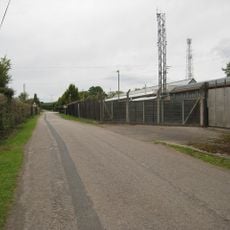
Pontrilas Army Training Area
1.7 km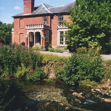
Abbey Dore Court
2.9 km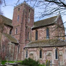
Dore Abbey
2.5 km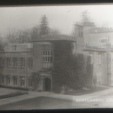
Kentchurch Court
3.2 km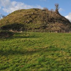
Ewyas Harold Castle
1.8 km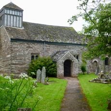
St James's Church
3 km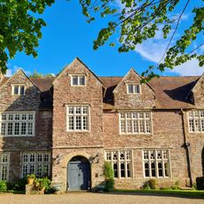
Pontrilas Court
1.2 km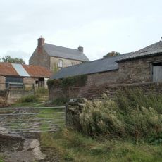
Great House Farm
2.7 km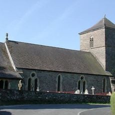
Church of St Michael and All Angels
1.6 km
Church of St Mary
3.2 km
Church of St Mary
18 m
Church of St Peter
3.2 km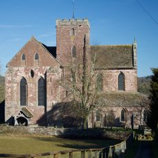
Church of St Mary
2.5 km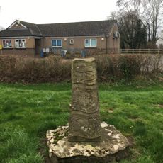
The Obelisk
1.4 km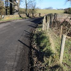
Grosmont Bridge
2.8 km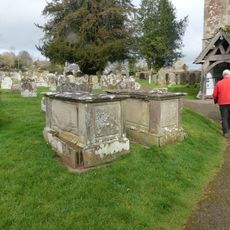
Group of 7 monuments about 10-20 yards south and south-west of the south porch of the Church of St Mary
2.5 km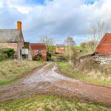
Cwm Farmhouse
3 km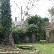
Gates and gate piers about 30 yards north-north-east of The Old Rectory
2.5 km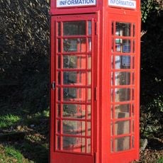
K6 Telephone Kiosk Outside Kentchurch Post Office
2.8 km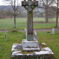
Churchyard cross in St Mary's churchyard
3.2 km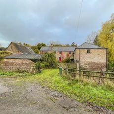
Bannut Tree Farmhouse
3 km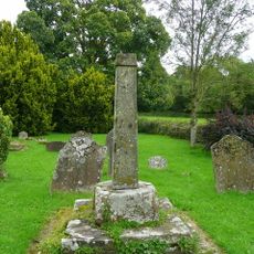
Cross in St James's Churchyard
3 km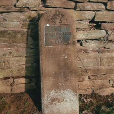
Milestone, Howton Farm
1.3 km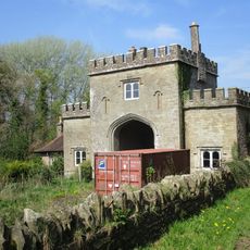
The Lodge
2.8 km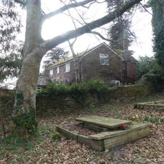
Stables about 25 yards north-east of The Old Rectory
2.5 km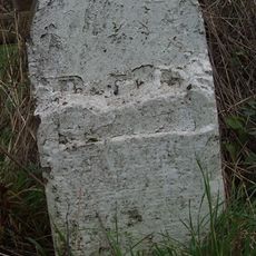
Milestone, Howton Grove Farm
2.9 km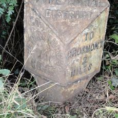
Milepost, Elms Farm
2 km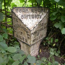
Milepost, Dore; 10m N Dicks Pitch turn
2.1 kmHa visitato questo luogo? Tocchi le stelle per valutarlo e condividere la Sua esperienza o foto con la community! Provalo ora! Puoi annullarlo in qualsiasi momento.
Scopri tesori nascosti ad ogni viaggio!
Da piccoli caffè caratteristici a panorami nascosti, fuggi dalla folla e scova i posti che fanno davvero per te. La nostra app ti semplifica tutto: ricerca vocale, filtri furbi, percorsi ottimizzati e dritte autentiche da viaggiatori di tutto il mondo. Scaricala subito per vivere l'avventura sul tuo smartphone!

Un nuovo approccio alla scoperta turistica❞
— Le Figaro
Tutti i luoghi che meritano di essere esplorati❞
— France Info
Un’escursione su misura in pochi clic❞
— 20 Minutes