
Kidderminster Foreign, civil parish in Wyre Forest, Worcestershire, England
Posizione: Wyre Forest
Coordinate GPS: 52.40243,-2.30143
Ultimo aggiornamento: 8 marzo 2025 alle 23:31

West Midland Safari Park
3.1 km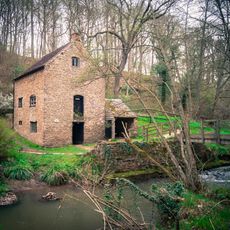
Knowles Mill
3.8 km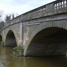
Bewdley Bridge
3 km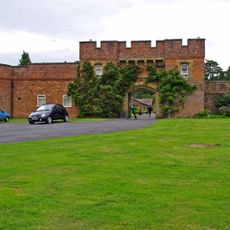
Arley House and Gardens
3.8 km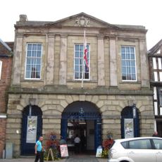
Bewdley Town Hall
3.1 km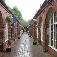
Bewdley Museum
3.1 km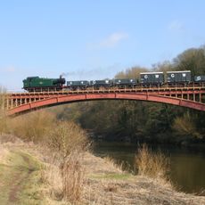
Victoria Bridge
3.1 km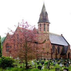
Church of All Saints
2.7 km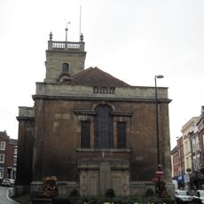
Church of St Anne
3.2 km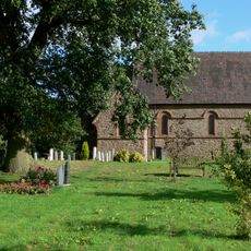
Church of the Holy Trinity, Trimpley
873 m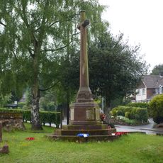
Wribbenhall War Memorial, North West of Church of All Saints
2.7 km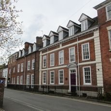
Number 62 (the Manor House) And Attached Railings
3.3 km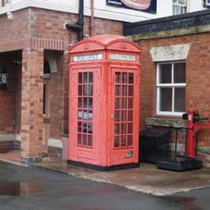
K4 Telephone Kiosk South Of Main Station Buildings
3 km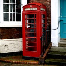
K6 Telephone Kiosk
3.1 km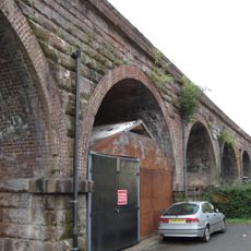
Railway Viaduct And Adjoining Revetments Immediately North West Of Bewdley Railway Station
2.9 km
5, 7 And 9, Stourport Road
3 km
Beales Corner
3 km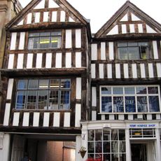
13 And 14, Load Street
3.1 km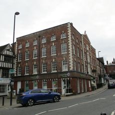
Numbers 15, 16, 17 And 18 And Attached Railings
3.1 km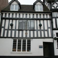
Blair House
3.2 km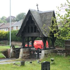
Churchyard Walls And Lychgate At Church Of All Saints
2.7 km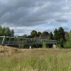
Arley footbridge
3.5 km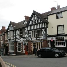
The Bewdley Institute
3.2 km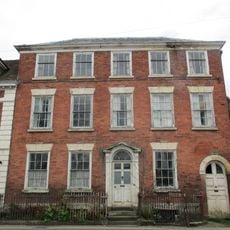
Number 63 And Attached Railings
3.3 km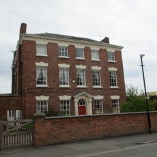
Redthorne Road
3.2 km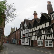
9, High Street
3.2 km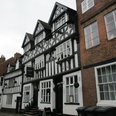
Bailiff's House
3.2 km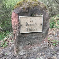
Milestone, Withybed Wood ; 150m S of car park
3.4 kmRecensioni
Ha visitato questo luogo? Tocchi le stelle per valutarlo e condividere la Sua esperienza o foto con la community! Provalo ora! Puoi annullarlo in qualsiasi momento.
Scopri tesori nascosti ad ogni viaggio!
Da piccoli caffè caratteristici a panorami nascosti, fuggi dalla folla e scova i posti che fanno davvero per te. La nostra app ti semplifica tutto: ricerca vocale, filtri furbi, percorsi ottimizzati e dritte autentiche da viaggiatori di tutto il mondo. Scaricala subito per vivere l'avventura sul tuo smartphone!

Un nuovo approccio alla scoperta turistica❞
— Le Figaro
Tutti i luoghi che meritano di essere esplorati❞
— France Info
Un’escursione su misura in pochi clic❞
— 20 Minutes