
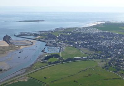
Amble by the Sea, civil parish in Northumberland, England
Posizione: Northumberland
Coordinate GPS: 55.33100,-1.57800
Ultimo aggiornamento: 5 marzo 2025 alle 01:24
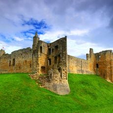
Castello di Warkworth
2.7 km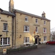
The Sun Hotel
2.7 km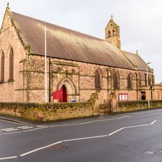
Church of St Cuthbert
452 m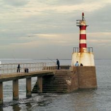
Amble South Pier light
995 m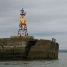
Amble North Pier light
1.1 km
Togston House
2.3 km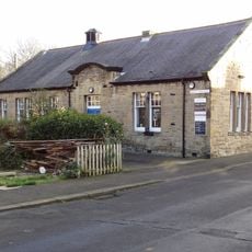
Amble Library
397 m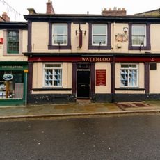
The Waterloo Public House
528 m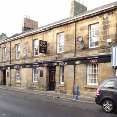
The Dock Public House
519 m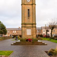
Clock Tower War Memorial
480 m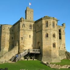
The Donjon
2.7 km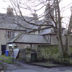
The Vicarage With Outbuildings And Yard Wall
401 m
Ruined Walls To East Of Roman Catholic Church Of Sacred Heart And St Cuthbert
682 m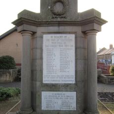
Radcliffe War Memorial 15 Metres West Of Clock Tower
473 m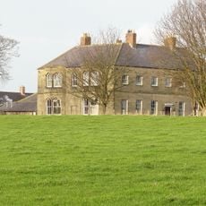
Hauxley Hall
1.5 km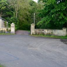
Entrance Screen To Togston Hall
2.4 km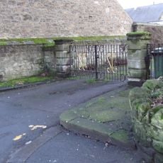
Gate Piers, Gates And Paddock Walls To North Of The Vicarage
417 m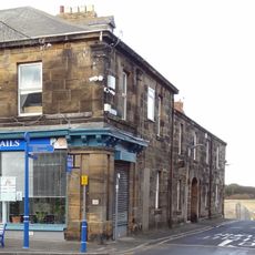
41, Queen Street
505 m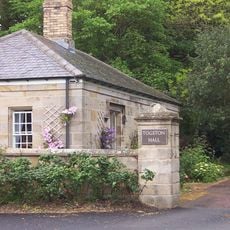
Gate Lodge To Togston Hall
2.4 km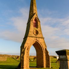
East Cemetary Entrance Screen And Chapel Spire
582 m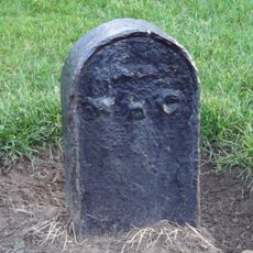
Boundary Marker 20 Metres West Of Number 1 The Coastguard House
698 m
Main Block Of Co Operative Society Premises
479 m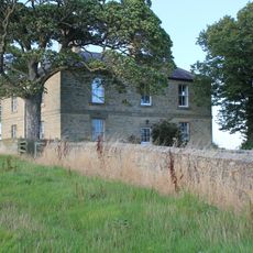
New Barns Farmhouse
2.5 km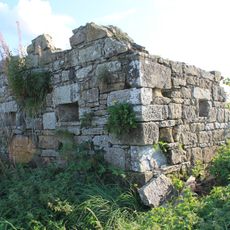
Pill Box at NU250047
1.8 km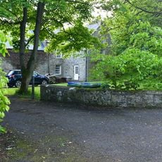
Togston Hall (northern Area Office Of British Coal Opencast Executive)
2.3 km
Entrance Screen And Front Wall To Togston House
2.4 km
West Part Of Farmbuilding Group To North Of Maudlin Farmhouse
2.3 km
31-39, Queen Street
515 mRecensioni
Ha visitato questo luogo? Tocchi le stelle per valutarlo e condividere la Sua esperienza o foto con la community! Provalo ora! Puoi annullarlo in qualsiasi momento.
Scopri tesori nascosti ad ogni viaggio!
Da piccoli caffè caratteristici a panorami nascosti, fuggi dalla folla e scova i posti che fanno davvero per te. La nostra app ti semplifica tutto: ricerca vocale, filtri furbi, percorsi ottimizzati e dritte autentiche da viaggiatori di tutto il mondo. Scaricala subito per vivere l'avventura sul tuo smartphone!

Un nuovo approccio alla scoperta turistica❞
— Le Figaro
Tutti i luoghi che meritano di essere esplorati❞
— France Info
Un’escursione su misura in pochi clic❞
— 20 Minutes