
Pencoyd, village and civil parish in Herefordshire, England
Posizione: Herefordshire
Coordinate GPS: 51.93599,-2.70613
Ultimo aggiornamento: 6 marzo 2025 alle 20:41
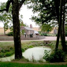
Harewood Park
2.1 km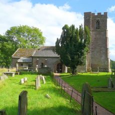
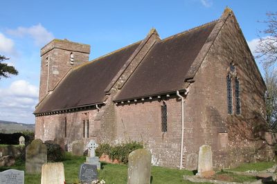
Church of St Dubricius
2.8 km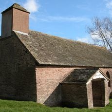
St Michael's Church
1.3 km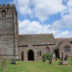
Church of St Weonard, St Weonards
3 km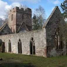
Church of St John the Baptist
1.9 km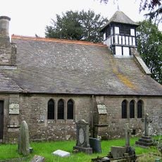
Church of St Junabius
1.8 km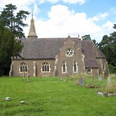
Christ Church
1.8 km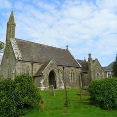
Church of St Mary
2.7 km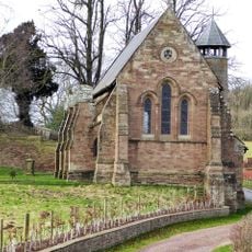
Former Church of St Denis at the Kennels, Harewood Park
2.1 km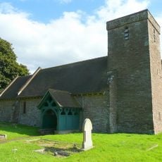
Church of St Dennis
88 m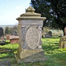
Phillpots Monument About 6 Yards South East Of The South Porch Of The Church Of St Weonard
3 km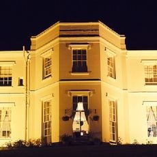
Pengethley Hotel
2.9 km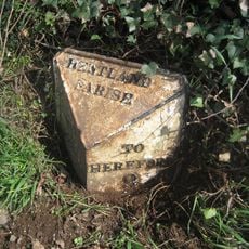
Milepost, 200m SE of "Harewood End" PH
1.5 km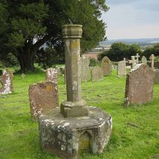
Churchyard Cross And Sundial About 20 Yards South Of The Easternmost Nave Window Of The South Side Of The Church Of St Weonard
3 km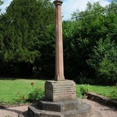
Llanwarne War Memorial
1.8 km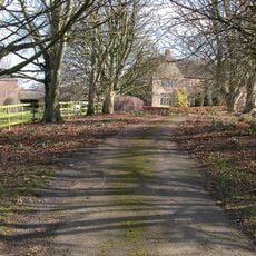
Old Manor House
138 m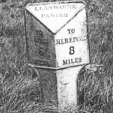
Milepost At Ngr So 521281
1.5 km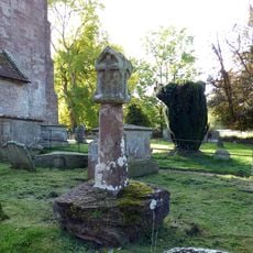
Churchyard cross in St Dubricius's churchyard
2.8 km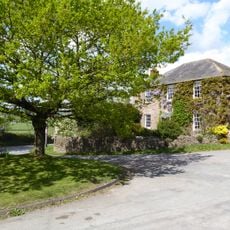
Church Farmhouse
3 km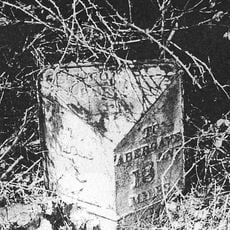
Milepost At National Grid Reference So 526241
2.7 km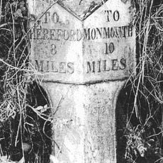
Milepost At Ngr So 495279
2.4 km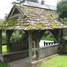
Lych Gate About 10 Yards South Of The Church Of St John The Baptist
1.8 km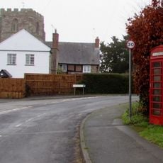
K6 Telephone Kiosk
3.1 km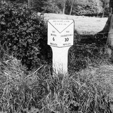
Milepost At National Grid Reference So 540255
2.7 km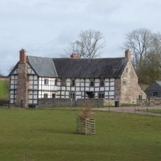
Grange Farmhouse
2.2 km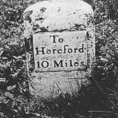
Milestone Opposite Pike Cottages At Ngr So 494248
2.8 km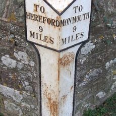
Milepost In Front Of Old Hendre
1.9 km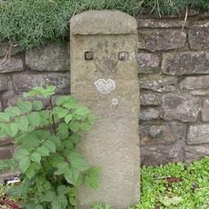
Milestone, Harewood End, in front of "Cambrai"
1.3 kmHa visitato questo luogo? Tocchi le stelle per valutarlo e condividere la Sua esperienza o foto con la community! Provalo ora! Puoi annullarlo in qualsiasi momento.
Scopri tesori nascosti ad ogni viaggio!
Da piccoli caffè caratteristici a panorami nascosti, fuggi dalla folla e scova i posti che fanno davvero per te. La nostra app ti semplifica tutto: ricerca vocale, filtri furbi, percorsi ottimizzati e dritte autentiche da viaggiatori di tutto il mondo. Scaricala subito per vivere l'avventura sul tuo smartphone!

Un nuovo approccio alla scoperta turistica❞
— Le Figaro
Tutti i luoghi che meritano di essere esplorati❞
— France Info
Un’escursione su misura in pochi clic❞
— 20 Minutes