
Horsebridge Head, rock formation in Northumberland, England, UK
Posizione: Northumberland
Coordinate GPS: 55.16667,-1.51667
Ultimo aggiornamento: 21 marzo 2025 alle 05:58
Woodhorn Museum
3.2 km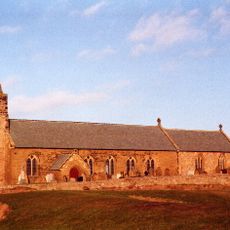
St Bartholomew's Church, Newbiggin-by-the-Sea
2.3 km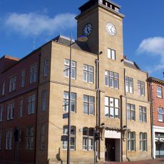
Ashington Town Hall
4.1 km
Blyth High Light
4.7 km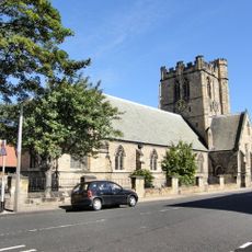
Church of St Cuthbert
4.5 km
Church of St Mary
4.4 km
Church of St Mary Woodhorn Church Museum
3 km
Church of the Holy Sepulchre
4.8 km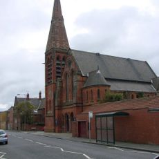
Blyth United Reformed Church
4.6 km
Church of Our Lady and St Wilfred
4.5 km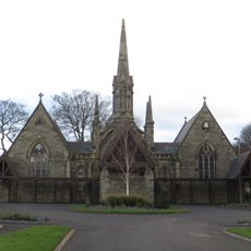
Pair Of Chapels In Cowpen Cemetery
4.2 km
Parish Church of St. John
4.1 km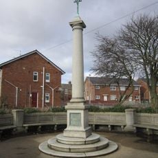
Newbiggin War Memorial
2.3 km
Ashington Co-operative Society Premises
3.7 km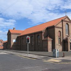
St Andrew's Church
3.2 km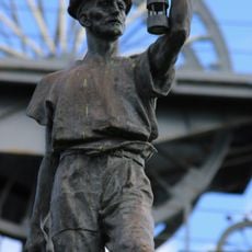
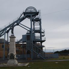
Miners Memorial
3.2 km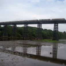
North Seaton Viaduct
3.1 km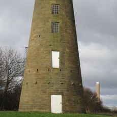
Woodhorn Mill
3.5 km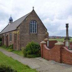
Cambois War Memorial
2.3 km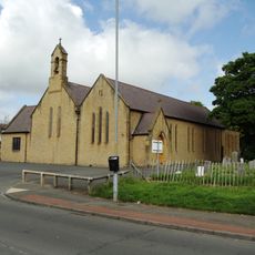
St John's Church
2.7 km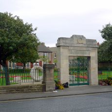
Memorial Archway, Gates, Railings And Boundary Wall To Newbiggin Memorial Park
1.8 km
Newbiggin Library
1.7 km
Church of St Andrew
2.3 km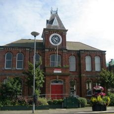
Blyth Library
4.4 km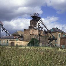
Eastern Winding House And Shaft Head Building (winder And Shaft No 1)
3.2 km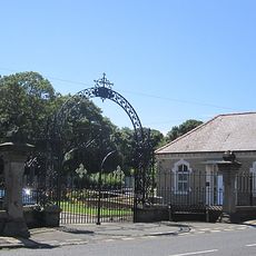
Gates And Screen Wall At Entrance To Cowpen Cemetery
4 km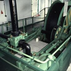
Engine House Between Shafts 1 And 2
3.2 km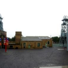
Fan House To West Of Shaft No 2
3.2 kmRecensioni
Ha visitato questo luogo? Tocchi le stelle per valutarlo e condividere la Sua esperienza o foto con la community! Provalo ora! Puoi annullarlo in qualsiasi momento.
Scopri tesori nascosti ad ogni viaggio!
Da piccoli caffè caratteristici a panorami nascosti, fuggi dalla folla e scova i posti che fanno davvero per te. La nostra app ti semplifica tutto: ricerca vocale, filtri furbi, percorsi ottimizzati e dritte autentiche da viaggiatori di tutto il mondo. Scaricala subito per vivere l'avventura sul tuo smartphone!

Un nuovo approccio alla scoperta turistica❞
— Le Figaro
Tutti i luoghi che meritano di essere esplorati❞
— France Info
Un’escursione su misura in pochi clic❞
— 20 Minutes