
Chislet, civil parish in Kent, England, UK
Posizione: Canterbury
Coordinate GPS: 51.33952,1.20393
Ultimo aggiornamento: 6 marzo 2025 alle 12:47
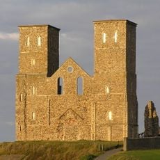
St Mary's Church, Reculver
4.5 km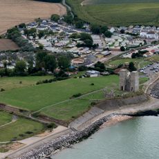
Castrum Regulbium
4.4 km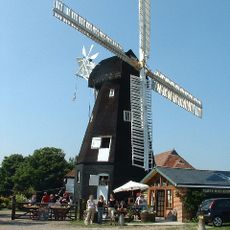
Sarre Windmill
2.7 km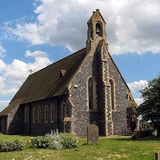
Church of St Mary the Virgin, Reculver
3.7 km
Ford Palace
2.7 km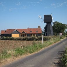
Chislet Windmill
3.1 km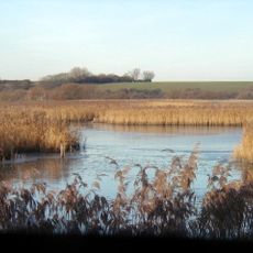
Stodmarsh National Nature Reserve
3.4 km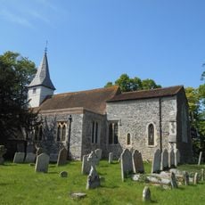
All Saints Church, West Stourmouth
3.1 km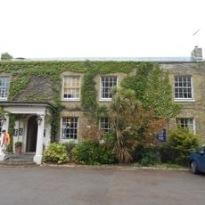
The Grove Ferry Inn
1.8 km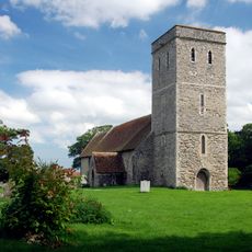
Church of Saint Mary Magdalene, Monkton
4.7 km
Church of Saint Nicholas
3.7 km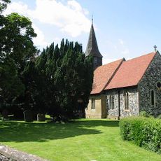
Church of the Holy Cross
3 km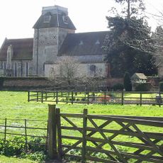
Church of St Mary the Virgin
1 km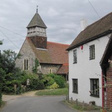
Church of St Mary
4.5 km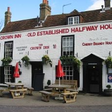
The Crown Inn
2.5 km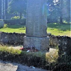
Reculver War Memorial
3.7 km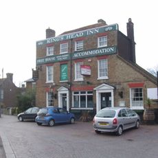
Kings Head Inn
2.4 km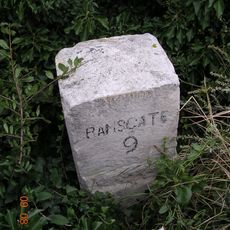
Milestone, Sarre Wall causeway, half way along a slight bend
1.6 km
St Mary's Cottage
3.8 km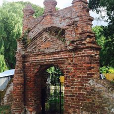
Gateway To North East Of Brook Farmhouse
3.4 km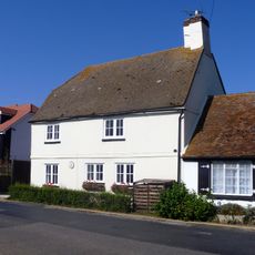
Forge House
3.8 km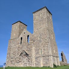
Reculver Saxon Shore fort, Anglo-Saxon monastery and associated remains
4.4 km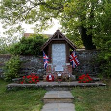
Monkton War Memorial
4.7 km
Milestone, Island Road, end of straight between Lakesview Business Park and Upstreet
2.6 km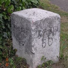
Milestone, Island Road, Hersden, by Dunelm
4.1 km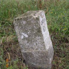
Milestone, E of Gore Street (200m from small group of isolated buildings)
4.3 km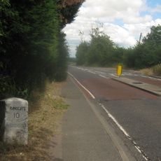
Milestone, Island Road, Upstreet, by No.145 on E edge of village
1.5 km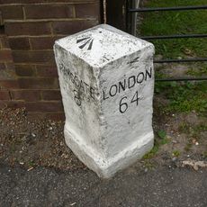
Milestone, Ramsgate Road, by Rose Bungalow, just W of old turnpike cottage and Sarre Windmill
2.7 kmRecensioni
Ha visitato questo luogo? Tocchi le stelle per valutarlo e condividere la Sua esperienza o foto con la community! Provalo ora! Puoi annullarlo in qualsiasi momento.
Scopri tesori nascosti ad ogni viaggio!
Da piccoli caffè caratteristici a panorami nascosti, fuggi dalla folla e scova i posti che fanno davvero per te. La nostra app ti semplifica tutto: ricerca vocale, filtri furbi, percorsi ottimizzati e dritte autentiche da viaggiatori di tutto il mondo. Scaricala subito per vivere l'avventura sul tuo smartphone!

Un nuovo approccio alla scoperta turistica❞
— Le Figaro
Tutti i luoghi che meritano di essere esplorati❞
— France Info
Un’escursione su misura in pochi clic❞
— 20 Minutes