
The Old Toll House, house in Trowbridge, Wiltshire, UK
Posizione: Trowbridge
Coordinate GPS: 51.32720,-2.20401
Ultimo aggiornamento: 10 marzo 2025 alle 00:46
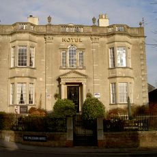
Polebarn House
645 m
Emmanuel Baptist Church With Archway At North West End
594 m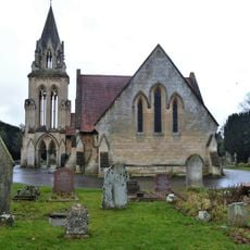
Cemetery, North Mortuary Chapel
463 m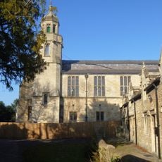
The Tabernacle, United Reformed Church
608 m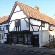
9, Church Street
645 m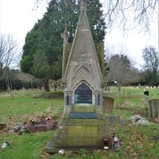
Cemetery, Taylor Monument
441 m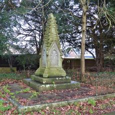
Cemetery, Kemp Memorial
531 m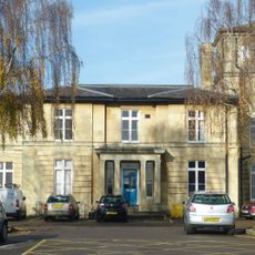
Centre Block Of The Trowbridge And District Hospital
432 m
2 And 3, Adcroft Street
438 m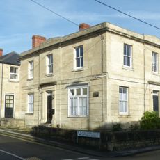
The Black Swan Public House
440 m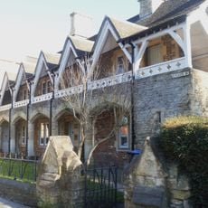
Union Street Almshouses
606 m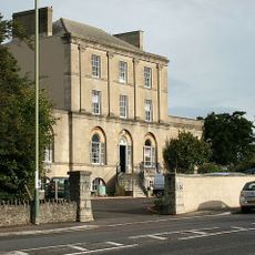
Bellefield House
486 m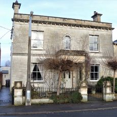
Rock Villa
590 m
12 And 13, Adcroft Street
437 m
Garden Wall Of Rodwell Hall To St Thomas's Road
603 m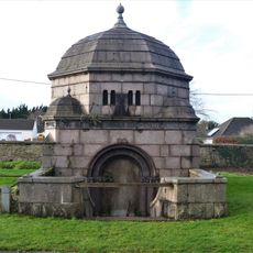
Cemetery, The Brown Mausoleum
483 m
16 And 17, Adcroft Street
461 m
4, Adcroft Street
437 m
5-11, Adcroft Street
437 m
18-29, Adcroft Street
462 m
1 and 3, Victoria Road
572 m
Westcroft
637 m
Waldron's Square
622 m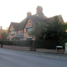
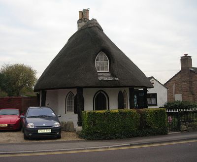
Palmer Almshouses
31 m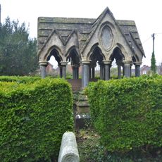
Cemetary, Clark Monument
374 m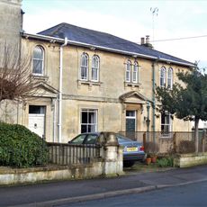
15 And 17, Victoria Road
590 m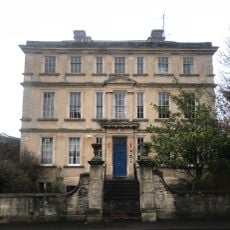
Lovemead House
612 m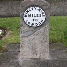
Milestone, Hilperton Road, jcn Roundstone Street (duplicate in Trowbridge Museum)
552 mRecensioni
Ha visitato questo luogo? Tocchi le stelle per valutarlo e condividere la Sua esperienza o foto con la community! Provalo ora! Puoi annullarlo in qualsiasi momento.
Scopri tesori nascosti ad ogni viaggio!
Da piccoli caffè caratteristici a panorami nascosti, fuggi dalla folla e scova i posti che fanno davvero per te. La nostra app ti semplifica tutto: ricerca vocale, filtri furbi, percorsi ottimizzati e dritte autentiche da viaggiatori di tutto il mondo. Scaricala subito per vivere l'avventura sul tuo smartphone!

Un nuovo approccio alla scoperta turistica❞
— Le Figaro
Tutti i luoghi che meritano di essere esplorati❞
— France Info
Un’escursione su misura in pochi clic❞
— 20 Minutes