
Hall Of Church Of St James And St Basil, building in Newcastle upon Tyne, Tyne and Wear, UK
Posizione: Newcastle upon Tyne
Coordinate GPS: 54.98512,-1.64933
Ultimo aggiornamento: 8 aprile 2025 alle 03:01
Town Moor
2.3 km
Leazes Park
1.9 km
The Mitre
1.8 km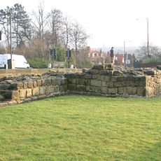
Milecastle 7
1.8 km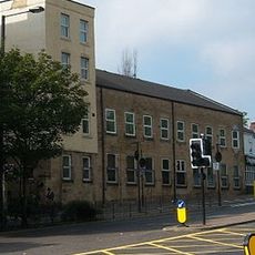
Barrack Road drill hall
1.9 km
Milecastle 5
2 km
Milecastle 6
1.2 km
Royal Victoria School For The Blind
1.9 km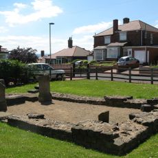
Temple of Antenociticus in New upon Tyne
1.3 km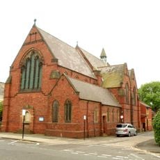
Church of St Luke
1.6 km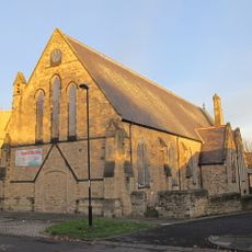
Church of St Philip
1.6 km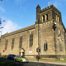
Church of St James and St Basil
94 m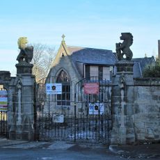
West Gateway, Walls And Gates Of St Nicholas Cemetery
763 m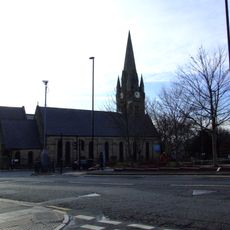
Church of St James
1.8 km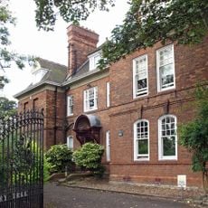
Church House And Dwarf Walls In Front
1.2 km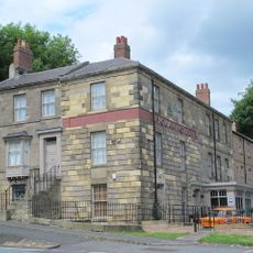
The Balmoral Public House
1.7 km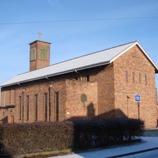
Holy Cross Church, Fenham
1.2 km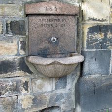
Drinking Fountain In Wall Of Westgate Cemetery One Metre From East Corner
1.9 km
Framlington House
1.7 km
Chimney Mill And Mill House
1.5 km
Clennell Family Tomb In Westgate Hill Cemetery
1.8 km
I'Anson tomb in Westgate Cemetery, about 50 metres south-east of entrance
1.9 km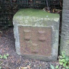
Town Moor Boundary Stone About One Metre North Of Millmount
545 m
Vallum crossing at Benwell Fort
1.4 km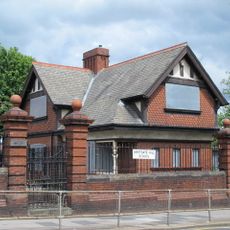
Lodge To South East Of Westgate Hill School, And Wall, Piers, Gateposts And Gates
1.5 km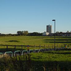
Nuns Moor
1.2 km
Piers And Walls In Front Of Number 416A
1.2 km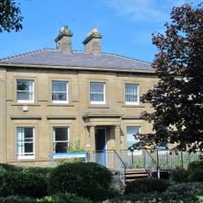
Newcastle General Hospital Young People's Unit And Dwarf Walls In Front
1.2 kmRecensioni
Ha visitato questo luogo? Tocchi le stelle per valutarlo e condividere la Sua esperienza o foto con la community! Provalo ora! Puoi annullarlo in qualsiasi momento.
Scopri tesori nascosti ad ogni viaggio!
Da piccoli caffè caratteristici a panorami nascosti, fuggi dalla folla e scova i posti che fanno davvero per te. La nostra app ti semplifica tutto: ricerca vocale, filtri furbi, percorsi ottimizzati e dritte autentiche da viaggiatori di tutto il mondo. Scaricala subito per vivere l'avventura sul tuo smartphone!

Un nuovo approccio alla scoperta turistica❞
— Le Figaro
Tutti i luoghi che meritano di essere esplorati❞
— France Info
Un’escursione su misura in pochi clic❞
— 20 Minutes