
Priory Of St Dominic, building in Newcastle upon Tyne, Tyne and Wear, UK
Posizione: Newcastle upon Tyne
Coordinate GPS: 54.97428,-1.59740
Ultimo aggiornamento: 8 aprile 2025 alle 01:47

Gateshead Millennium Bridge
558 m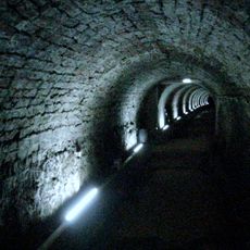
Victoria Tunnel
489 m
Television Centre, Newcastle upon Tyne
264 m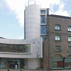
Seven Stories
346 m
HMS Calliope
512 m
The Cluny
375 m
The Biscuit Factory
266 m
Byker Viaduct
348 m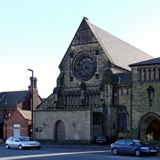
Church of St Dominic
31 m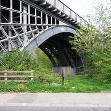
Ouseburn Viaduct
365 m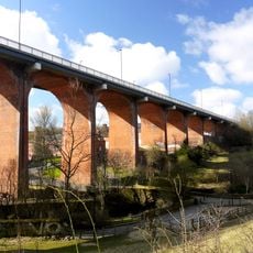
Byker Bridge
351 m
Ouseburn Farm
411 m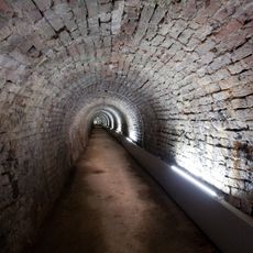
Victoria Tunnel
491 m
Church of St Ann
283 m
Cooperative Wholesale Society Warehouse
440 m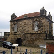
Sallyport Or Wall Knoll Tower
516 m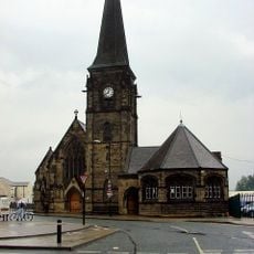
Christ Church
351 m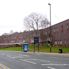
Salvation Army Men's Palace
380 m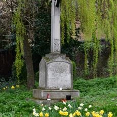
The war memorial cross of St Cuthbert's Church, Newcastle upon Tyne
268 m
The Tyne Public House
543 m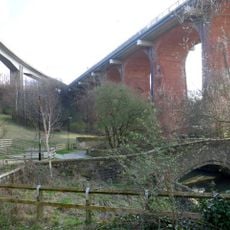
Bridge Over Ouseburn
404 m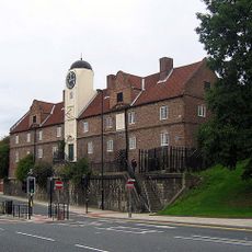
The Keelmen's Hospital
441 m
Cluny Warehouse
376 m
Industrial Workers' Dwellings
441 m
Gibson Street Baths
66 m
Sailors Bethel
490 m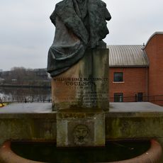
Drinking Fountain And Statue
552 m
Newcastle upon Tyne town defences: section of curtain wall including Sallyport or Wall Knoll Tower
519 mRecensioni
Ha visitato questo luogo? Tocchi le stelle per valutarlo e condividere la Sua esperienza o foto con la community! Provalo ora! Puoi annullarlo in qualsiasi momento.
Scopri tesori nascosti ad ogni viaggio!
Da piccoli caffè caratteristici a panorami nascosti, fuggi dalla folla e scova i posti che fanno davvero per te. La nostra app ti semplifica tutto: ricerca vocale, filtri furbi, percorsi ottimizzati e dritte autentiche da viaggiatori di tutto il mondo. Scaricala subito per vivere l'avventura sul tuo smartphone!

Un nuovo approccio alla scoperta turistica❞
— Le Figaro
Tutti i luoghi che meritano di essere esplorati❞
— France Info
Un’escursione su misura in pochi clic❞
— 20 Minutes