
Former Church of St Jude, Shieldfield, church building in Newcastle upon Tyne, Tyne and Wear, UK
Posizione: Newcastle upon Tyne
Coordinate GPS: 54.97866,-1.59981
Ultimo aggiornamento: 8 aprile 2025 alle 02:26

The Cluny
643 m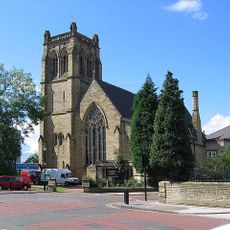
Jesmond Parish Church
593 m
The Biscuit Factory
261 m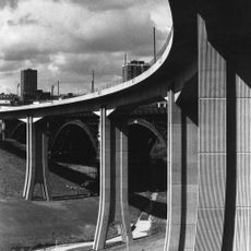
Byker Viaduct
517 m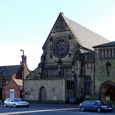
Church of St Dominic
506 m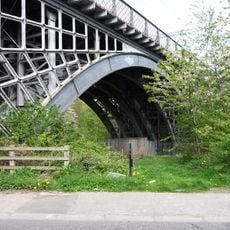
Ouseburn Viaduct
499 m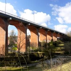
Byker Bridge
579 m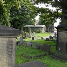
Jesmond Old Cemetery
584 m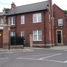
Hutton Terrace drill hall
382 m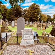
Tomb Of John Dobson About 175 Metres South Of Jesmond Cemetery Gates
413 m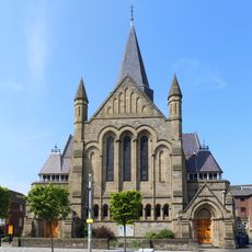
Church of St James with Hall, Sunday School and House Attached
602 m
Church of the Divine Unity and Durant Hall
560 m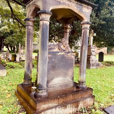
Tomb Of Keenleyside Family About 80 Metres South Of Jesmond Cemetery Gates
483 m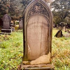
Tomb Of Tm Richardson About 20 Metres South West Of Jesmond Cemetery Gateway
552 m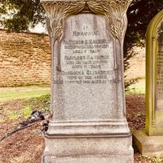
Fairless Harrison Tomb About 100 Metres East Of Jesmond Cemetery Gateway
634 m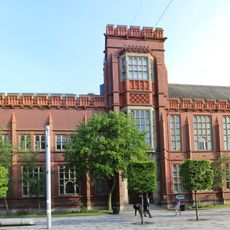
Sutherland Building
620 m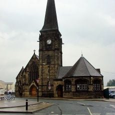
Christ Church
402 m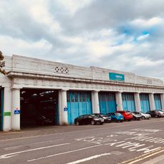
United Bus Company Depot
486 m
The Carriage Public House
487 m
Careers Centre
643 m
Mea House
593 m
Bridge Over Ouseburn
597 m
Gibson Street Baths
507 m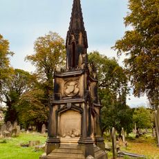
Tomb Of A Reed About 100 Metres South West Of Jesmond Cemetery Gates
513 m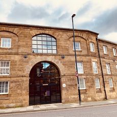
Deuchar House
355 m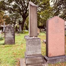
Tomb Of Joseph Wilson About 35 Metres South West Of Jesmond Cemetery Gateway
545 m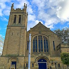
Trinity Building
570 m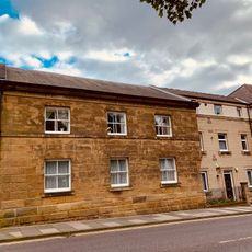
Former Boiler House, Sandyford Brewery
384 mRecensioni
Ha visitato questo luogo? Tocchi le stelle per valutarlo e condividere la Sua esperienza o foto con la community! Provalo ora! Puoi annullarlo in qualsiasi momento.
Scopri tesori nascosti ad ogni viaggio!
Da piccoli caffè caratteristici a panorami nascosti, fuggi dalla folla e scova i posti che fanno davvero per te. La nostra app ti semplifica tutto: ricerca vocale, filtri furbi, percorsi ottimizzati e dritte autentiche da viaggiatori di tutto il mondo. Scaricala subito per vivere l'avventura sul tuo smartphone!

Un nuovo approccio alla scoperta turistica❞
— Le Figaro
Tutti i luoghi che meritano di essere esplorati❞
— France Info
Un’escursione su misura in pochi clic❞
— 20 Minutes