
Sowter's Farmhouse, farmhouse in Easebourne, Chichester, West Sussex, UK
Posizione: Easebourne
Coordinate GPS: 51.00090,-0.71558
Ultimo aggiornamento: 26 ottobre 2025 alle 03:52
Cowdray House
1.9 km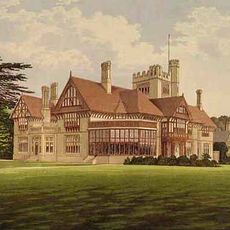
Cowdray Park
1.5 km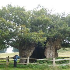
Queen Elizabeth Oak
1.2 km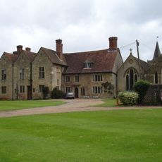
Easebourne Priory
974 m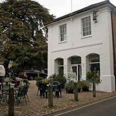
Eagle House Antiques Market With The Parish Room Over It
2.3 km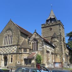
The Parish Church of St Mary
2.3 km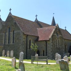
The Parish Church of St Mary
966 m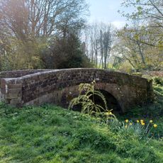
Bridge On Former Rother Navigation (At Su88942135)
2.2 km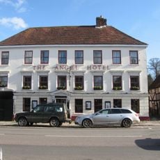
The Angel Hotel
2.1 km
The Old Library
2.2 km
Iron Gates Cottage
2.1 km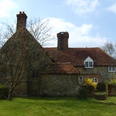
Upper Vining
1.7 km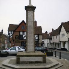
Midhurst War Memorial
2.3 km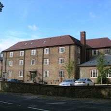
Budgenor Lodge
1.2 km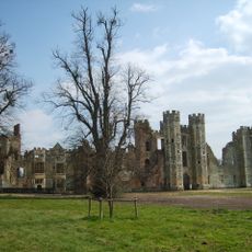
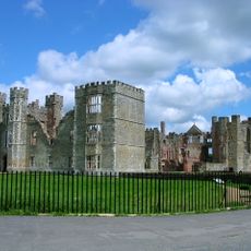
Cowdray: a fortified medieval house and part of its landscaped grounds
1.8 km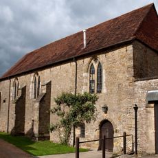
The Refectory
1 km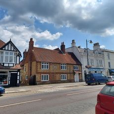
The Harrow
2.1 km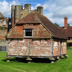
Granary Adjoining The Ruins Of Cowdray House On The South West
1.9 km
The Former Stables Of Old Cowdray House
2 km
342-347 St Anne's Hill And St Ann's Hall, Including Archway To Edinburgh Square
2.3 km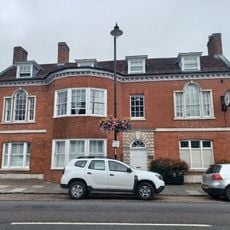
Chichester District Council Offices
2.2 km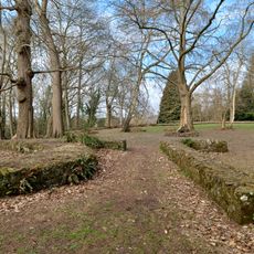
Midhurst Castle
2.2 km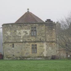
The Round Tower Or Water Tower Of Cowdray House To The North West Of The Ruins
1.8 km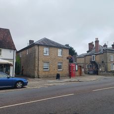
The Fomer Stables Of The Grammar School To The South Of The Original Building
2.1 km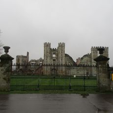
Gates Of Cowdray House
1.9 km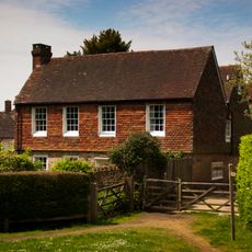
Court Green
2.2 km
The Midhurst Club
2.1 km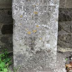
Milestone, Easebourne Lane
1.7 kmRecensioni
Ha visitato questo luogo? Tocchi le stelle per valutarlo e condividere la Sua esperienza o foto con la community! Provalo ora! Puoi annullarlo in qualsiasi momento.
Scopri tesori nascosti ad ogni viaggio!
Da piccoli caffè caratteristici a panorami nascosti, fuggi dalla folla e scova i posti che fanno davvero per te. La nostra app ti semplifica tutto: ricerca vocale, filtri furbi, percorsi ottimizzati e dritte autentiche da viaggiatori di tutto il mondo. Scaricala subito per vivere l'avventura sul tuo smartphone!

Un nuovo approccio alla scoperta turistica❞
— Le Figaro
Tutti i luoghi che meritano di essere esplorati❞
— France Info
Un’escursione su misura in pochi clic❞
— 20 Minutes