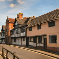
The Averys, building in Henfield, Horsham, West Sussex, UK
Posizione: Henfield
Coordinate GPS: 50.92995,-0.27230
Ultimo aggiornamento: 26 ottobre 2025 alle 20:59
Steyning Grammar School
5.7 km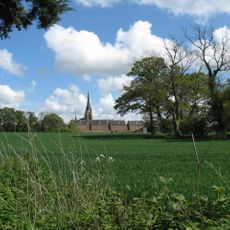
St. Hugh's Charterhouse, Parkminster
5.1 km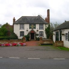
Fountain Inn
3.5 km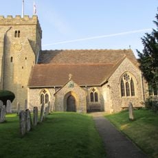
St Peter's Church
392 m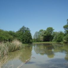
Woods Mill
2.2 km
Newtimber Place
5.8 km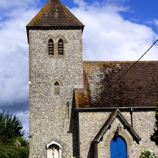
St Michael and All Angels Church, Partridge Green
4.4 km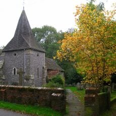
The Parish Church of St James, Ashurst
3.9 km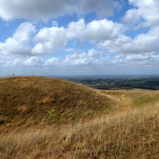
Edburton Castle Ring
5.4 km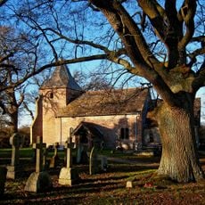
The Parish Church of St Peter
5.5 km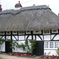
The Cat House
356 m
The Parish Church of St Peter
5.3 km
The Parish Church of St Peter
1.8 km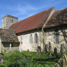
Church of St Andrew
4.8 km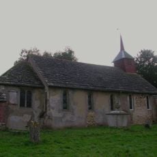
The Parish Church of St Giles, Shermanbury
2.9 km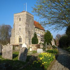
The Parish Church of St Andrew
5.8 km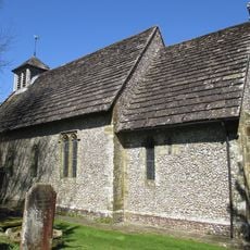
The Parish Church of St Bartholomew
4.2 km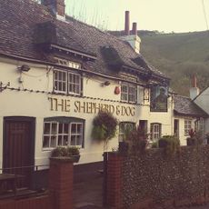
The Shepherd And Dog Public House
5.6 km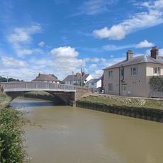
The Bridge Inn
5.8 km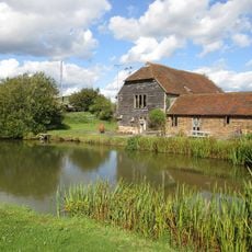
Sakeham Farmhouse
3.3 km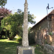
Upper Beeding War Memorial
5.3 km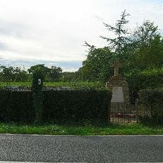
West Grinstead, Dial Post, Littleworth and Partridge Green War Memorial
5.3 km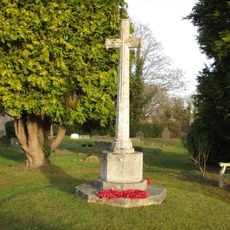
Partridge Green War Memorial
4.4 km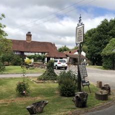
The Royal Oak Inn
5 km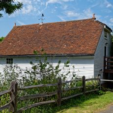
The Mill Building At Woods Mill
2.2 km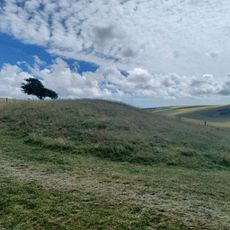
Bowl barrow on Edburton Hill, 380m west of the motte and bailey castle
5.3 km
Fulking Village Sign
5.4 km
Punto di vista panoramico
5.2 kmRecensioni
Ha visitato questo luogo? Tocchi le stelle per valutarlo e condividere la Sua esperienza o foto con la community! Provalo ora! Puoi annullarlo in qualsiasi momento.
Scopri tesori nascosti ad ogni viaggio!
Da piccoli caffè caratteristici a panorami nascosti, fuggi dalla folla e scova i posti che fanno davvero per te. La nostra app ti semplifica tutto: ricerca vocale, filtri furbi, percorsi ottimizzati e dritte autentiche da viaggiatori di tutto il mondo. Scaricala subito per vivere l'avventura sul tuo smartphone!

Un nuovo approccio alla scoperta turistica❞
— Le Figaro
Tutti i luoghi che meritano di essere esplorati❞
— France Info
Un’escursione su misura in pochi clic❞
— 20 Minutes