
Druids, building in Puttenham, Guildford, Surrey, UK
Posizione: Puttenham
Coordinate GPS: 51.20439,-0.69390
Ultimo aggiornamento: 8 aprile 2025 alle 02:07
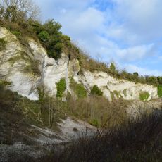
Seale Chalk Pit
2.8 km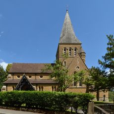
Church of St Mary
2.9 km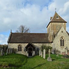
Church of St Laurence
2.6 km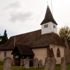
Church of St James
2.6 km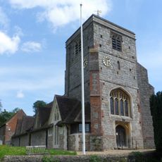
Church of St John the Baptist
2.8 km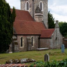
Church of St Nicholas
2.8 km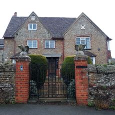
Rodsall Manor House
707 m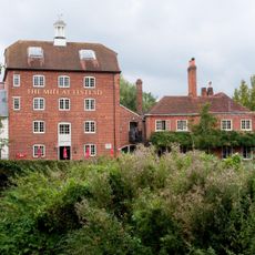
Elstead Mill
2.2 km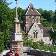
Seale War Memorial
2.6 km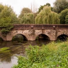
Elstead Bridge
2.2 km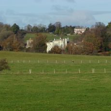
Puttenham Priory
2.8 km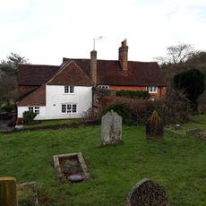
The Lyttons
2.6 km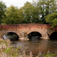
Somerset Bridge
2.1 km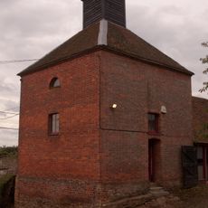
Dovecot And Granary To South West Of Home Farm Courtyard
2.7 km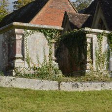
Chest Tomb 12 Yards North Of Tower Of Church Of St John The Baptist
2.8 km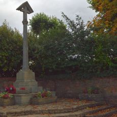
Puttenham War Memorial
2.8 km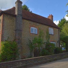
The Old School House
2.7 km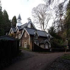
Firbank
2.5 km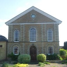
United Reformed Church and Attached Graveyard Wall with Gatepiers and Railings
2.3 km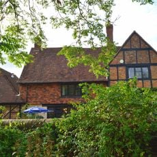
British Legion Clubhouse
2.3 km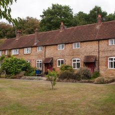
Home Farm Cottages With Stables To Left And Buildings To East
2.7 km
Granary At Home Farm
2.7 km
Barn To North West Corner Of Home Farm Courtyard
2.6 km
Chest Tomb 10 Yards North Of Tower Of Church Of St John The Baptist
2.8 km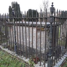
Paine Chest Tomb 6 Yards South West Of Corner Of Church Of St Laurence
2.6 km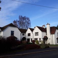
The Gables
2.7 km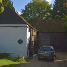
Winters Farm Studio And Barn
2.6 km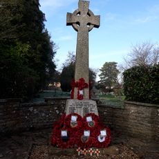
Elstead War Memorial
2.5 kmRecensioni
Ha visitato questo luogo? Tocchi le stelle per valutarlo e condividere la Sua esperienza o foto con la community! Provalo ora! Puoi annullarlo in qualsiasi momento.
Scopri tesori nascosti ad ogni viaggio!
Da piccoli caffè caratteristici a panorami nascosti, fuggi dalla folla e scova i posti che fanno davvero per te. La nostra app ti semplifica tutto: ricerca vocale, filtri furbi, percorsi ottimizzati e dritte autentiche da viaggiatori di tutto il mondo. Scaricala subito per vivere l'avventura sul tuo smartphone!

Un nuovo approccio alla scoperta turistica❞
— Le Figaro
Tutti i luoghi che meritano di essere esplorati❞
— France Info
Un’escursione su misura in pochi clic❞
— 20 Minutes