
Jarvis, building in Steyning, Horsham, West Sussex, UK
Posizione: Steyning
Coordinate GPS: 50.88773,-0.32467
Ultimo aggiornamento: 8 aprile 2025 alle 03:30
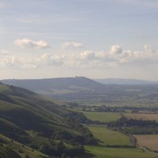
Parco nazionale di South Downs
3.9 km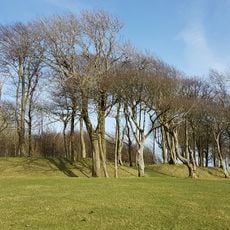
Chanctonbury Ring
4.1 km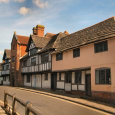
Steyning Grammar School
702 m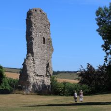
Castello di Bramber
806 m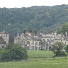
Wiston House
2.7 km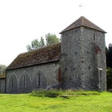
St Botolph's Church, Botolphs
2.4 km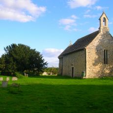
All Saints Church, Buncton
4.4 km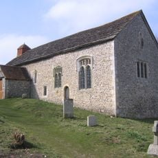
Coombes Church
3.2 km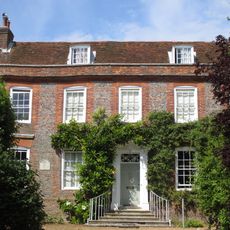
Chantry House
277 m
Woods Mill
4.6 km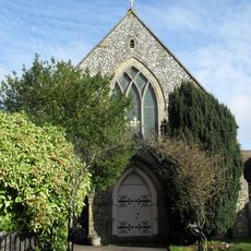
Steyning Methodist Church
128 m
Jarvis Hall, Steyning
66 m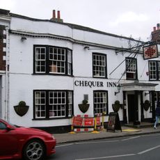
Chequer Inn
355 m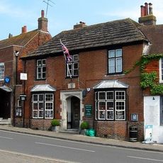
38, High Street
275 m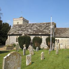
The Parish Church of St Peter
1.3 km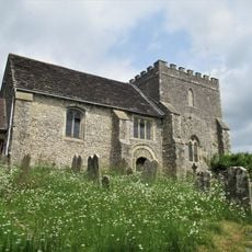
The Parish Church of St Nicholas
850 m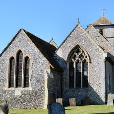
The Parish Church of St Mary
2.7 km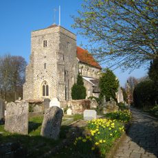
The Parish Church of St Andrew
265 m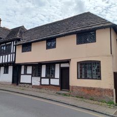
7, Church Street
212 m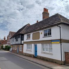
11 Church Street
205 m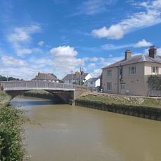
The Bridge Inn
1.4 km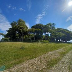
Romano-Celtic temples in Chanctonbury Ring
4.1 km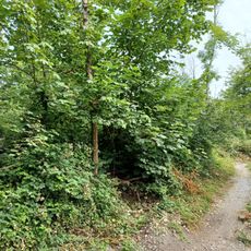
Cross dyke 760m WNW of Pepperscoombe
1.9 km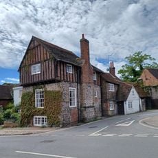
The Stone House
248 m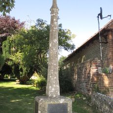
Upper Beeding War Memorial
1.4 km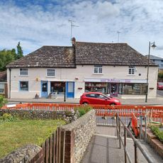
120 And 122, High Street
563 m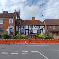
95 And 97, High Street
540 m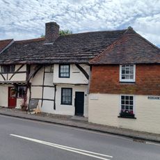
1 3 and 5, Church Street
218 mRecensioni
Ha visitato questo luogo? Tocchi le stelle per valutarlo e condividere la Sua esperienza o foto con la community! Provalo ora! Puoi annullarlo in qualsiasi momento.
Scopri tesori nascosti ad ogni viaggio!
Da piccoli caffè caratteristici a panorami nascosti, fuggi dalla folla e scova i posti che fanno davvero per te. La nostra app ti semplifica tutto: ricerca vocale, filtri furbi, percorsi ottimizzati e dritte autentiche da viaggiatori di tutto il mondo. Scaricala subito per vivere l'avventura sul tuo smartphone!

Un nuovo approccio alla scoperta turistica❞
— Le Figaro
Tutti i luoghi che meritano di essere esplorati❞
— France Info
Un’escursione su misura in pochi clic❞
— 20 Minutes