
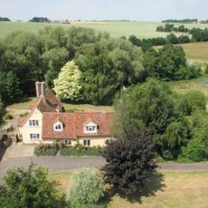
26 And 28, School Road, building in Kedington, St. Edmundsbury, Suffolk, UK
Posizione: Kedington
Indirizzo: 26 And 28, School Road, Kedington, St. Edmundsbury, Suffolk, CB9
Coordinate GPS: 52.09227,0.48434
Ultimo aggiornamento: 3 marzo 2025 alle 03:35

Cotton Hall
1.2 km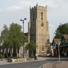
Church of St Mary
3.3 km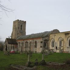
Church of St Peter and St Paul, Kedington
405 m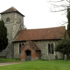
Parish Church of St Mary the Virgin
3.1 km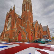
Old Independent Church
3.2 km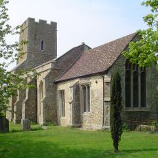
Church of All Saints
2.2 km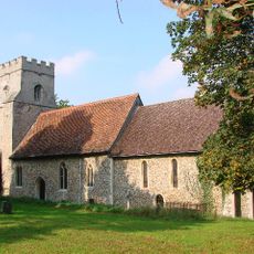
Church of St Mary
2.1 km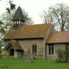
Church of St Mary
1.6 km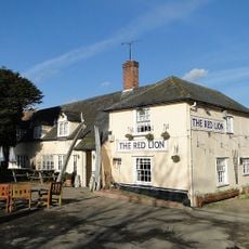
Red Lion Inn
1.9 km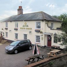
The White Horse Inn
142 m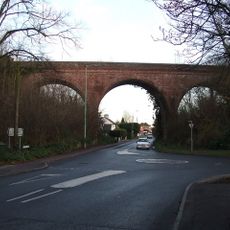
The Sturmer Arches
3 km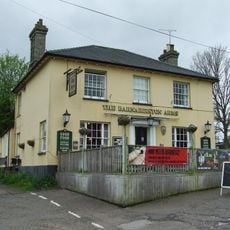
The Barnardiston Arms Public House
324 m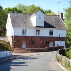
Water Mill
284 m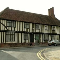
Anne Of Cleves House
3.2 km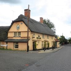
The Red Lion Public House
2.7 km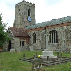
Kedington War Memorial
400 m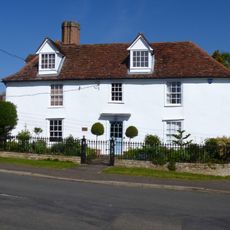
White House
290 m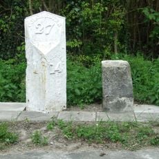
Milestone and milepost standing on the south side of Rowley Hill (A1017), around 60m south-east of its junction with Church Walk
2.8 km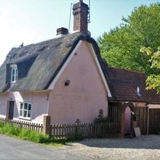
Premises Approximately 70 Yards South-East Of Barton Place
398 m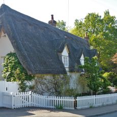
House At Water Mill
311 m
The Old Forge
282 m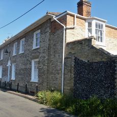
Suffolk House
325 m
Mill House
2 km
The Dell
273 m
Bridge House
296 m
Silvertails And Shameen
311 m
Milestone, Rowley Hill, W of jct with Church Croft
2.8 km
Milepost, Rowley Hill, W of jct with Church Croft
2.8 kmRecensioni
Ha visitato questo luogo? Tocchi le stelle per valutarlo e condividere la Sua esperienza o foto con la community! Provalo ora! Puoi annullarlo in qualsiasi momento.
Scopri tesori nascosti ad ogni viaggio!
Da piccoli caffè caratteristici a panorami nascosti, fuggi dalla folla e scova i posti che fanno davvero per te. La nostra app ti semplifica tutto: ricerca vocale, filtri furbi, percorsi ottimizzati e dritte autentiche da viaggiatori di tutto il mondo. Scaricala subito per vivere l'avventura sul tuo smartphone!

Un nuovo approccio alla scoperta turistica❞
— Le Figaro
Tutti i luoghi che meritano di essere esplorati❞
— France Info
Un’escursione su misura in pochi clic❞
— 20 Minutes