
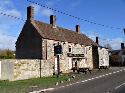
The King's Head, building in Chitterne, Wiltshire, UK
Posizione: Chitterne
Coordinate GPS: 51.19385,-2.01575
Ultimo aggiornamento: 8 marzo 2025 alle 02:25
Knook Castle
3 km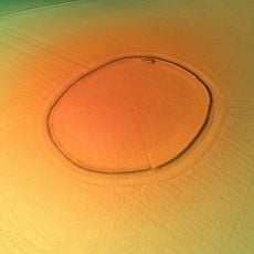
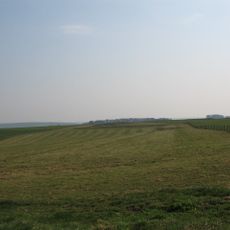
Codford Circle
3.4 km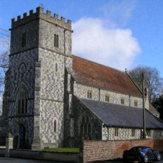
Church of All Saints
294 m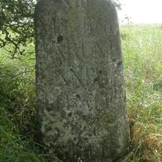
Milestone, Breach Hill; 230m S jcn Chitterne-Tilshead rd 7m E current track
2.7 km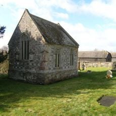
Chapel Of St Mary
64 m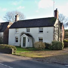
Pear Tree House
184 m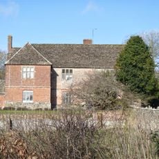
The Manor
125 m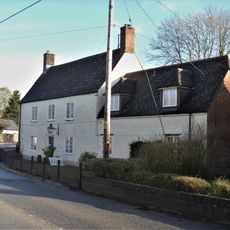
White Hart House
198 m
Clump House
150 m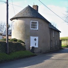
The Round House
222 m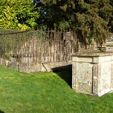
Ingram, Wallis And Parham Monuments In The Churchyard About 16 Metres South West Of Chapel Of St Mary
78 m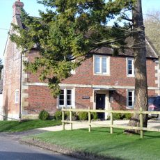
The Glebe House
171 m
Milestone About 200 Metres North Along Green Lane To West Of St Mary's House
478 m
The Coach House
217 m
Manor Farm House
427 m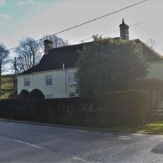
The Old Malthouse
88 m
Elm Farm
227 m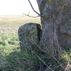
Milestone About 30 Metres East Of Entrance To Track To Chitterne Barn
3.1 km
The Well House
292 m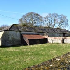
Stable To South Of The Manor
98 m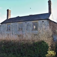
98, Chitterne Road
120 m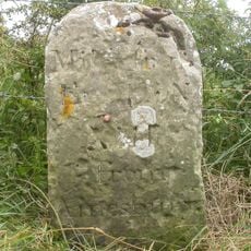
Milestone
2.9 km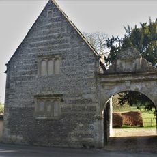
Gateway At The Gatehouse
427 m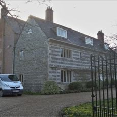
Chitterne House
503 m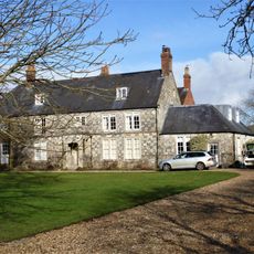
Chitterne Lodge
755 m
Milestone About 1 Mile South West Of Chitterne
1.3 km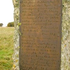
Robber's Stone
1.4 km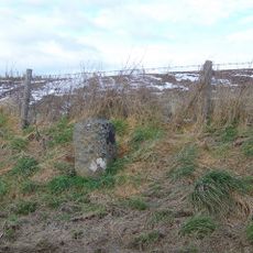
Milestone, Shrewton Road; 750m SE Chitterne jcn
1 kmRecensioni
Ha visitato questo luogo? Tocchi le stelle per valutarlo e condividere la Sua esperienza o foto con la community! Provalo ora! Puoi annullarlo in qualsiasi momento.
Scopri tesori nascosti ad ogni viaggio!
Da piccoli caffè caratteristici a panorami nascosti, fuggi dalla folla e scova i posti che fanno davvero per te. La nostra app ti semplifica tutto: ricerca vocale, filtri furbi, percorsi ottimizzati e dritte autentiche da viaggiatori di tutto il mondo. Scaricala subito per vivere l'avventura sul tuo smartphone!

Un nuovo approccio alla scoperta turistica❞
— Le Figaro
Tutti i luoghi che meritano di essere esplorati❞
— France Info
Un’escursione su misura in pochi clic❞
— 20 Minutes