
Whyr Farmhouse, farmhouse in Winterbourne Bassett, Wiltshire, UK
Posizione: Winterbourne Bassett
Coordinate GPS: 51.46809,-1.88151
Ultimo aggiornamento: 15 marzo 2025 alle 05:53
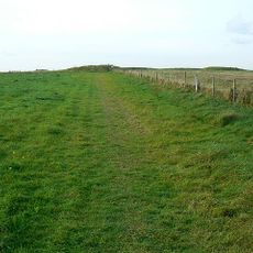
Windmill Hill
3.1 km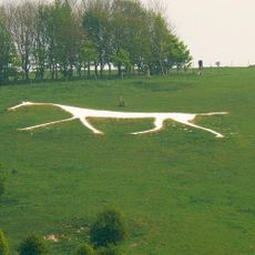
Hackpen White Horse
4.5 km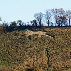
Broad Town White Horse
4.2 km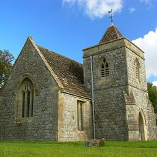
St Nicholas's Church, Berwick Bassett
1.7 km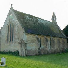
Christ Church
3.9 km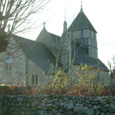
Church of St Mary Magdalene, Winterbourne Monkton
2.8 km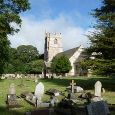
Church of St Peter
2.8 km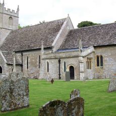
Church of St Peter Ad Vincula
3 km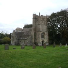
Church of St Katherine and St Peter
1.9 km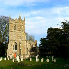
Church of All Saints
3.5 km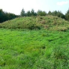
Group of four round barrows 500m south-east of Avebury Down Barn, forming part of a Bronze Age round barrow cemetery on Avebury
4.5 km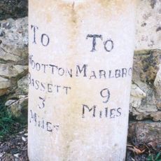
Milestone Opposite No 52
3.6 km
Richardson medieval settlement
1.5 km
142 And 143
3.2 km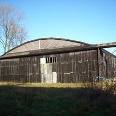
Two Former Hangars On North Side Of Former Airfield
4.3 km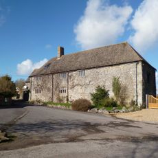
Manor House
1.9 km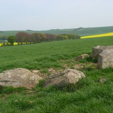
Penning bell barrow 600m east of Avebury Down Barn
4.4 km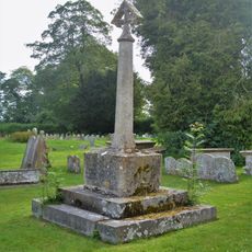
Churchyard Cross And Lloyd Monument In Churchyard, 6 Metres South Of South Chapel, Church Of St Peter
3 km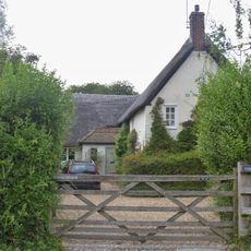
Yew Trees
3.4 km
Milestone 160 Metres South Of Village Crossroads
2.1 km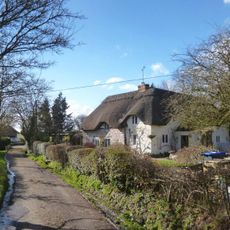
Little Thatch
2.4 km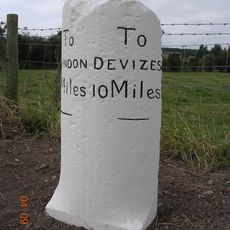
Milestone, Approximately 290 Metres South Of Middle Farmhouse
3.2 km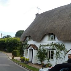
Well View
3 km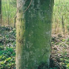
Milestone Approximately 400 Metres North Of Manor Farm Entrance
3.1 km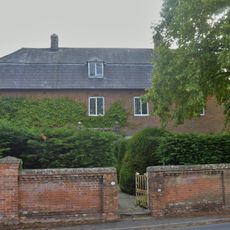
Marlborough House
3.1 km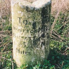
Milestone 300 Metres East Of A4361 Junction
3.4 km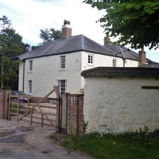
Broad Hinton House
3 km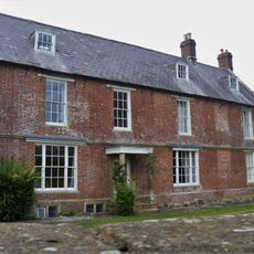
Manor Farmhouse
3.1 kmRecensioni
Ha visitato questo luogo? Tocchi le stelle per valutarlo e condividere la Sua esperienza o foto con la community! Provalo ora! Puoi annullarlo in qualsiasi momento.
Scopri tesori nascosti ad ogni viaggio!
Da piccoli caffè caratteristici a panorami nascosti, fuggi dalla folla e scova i posti che fanno davvero per te. La nostra app ti semplifica tutto: ricerca vocale, filtri furbi, percorsi ottimizzati e dritte autentiche da viaggiatori di tutto il mondo. Scaricala subito per vivere l'avventura sul tuo smartphone!

Un nuovo approccio alla scoperta turistica❞
— Le Figaro
Tutti i luoghi che meritano di essere esplorati❞
— France Info
Un’escursione su misura in pochi clic❞
— 20 Minutes