
Wall Along East Side Of Field Row Between Ambrose Place And Shelley Road
Wall Along East Side Of Field Row Between Ambrose Place And Shelley Road, wall in Worthing, West Sussex, UK
Posizione: Worthing
Coordinate GPS: 50.81167,-0.37252
Ultimo aggiornamento: 19 marzo 2025 alle 01:44
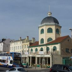
Dome Cinema
367 m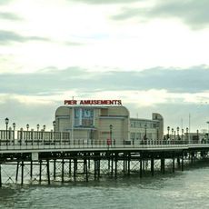
Worthing Pier
308 m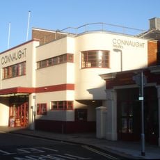
Connaught Theatre
262 m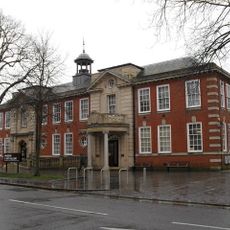
Worthing Museum and Art Gallery
330 m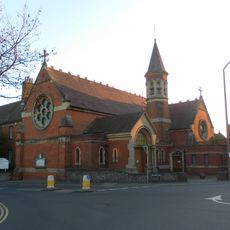
St Mary of the Angels
377 m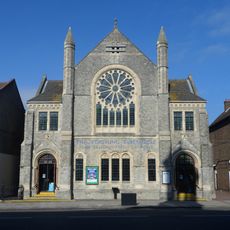
Worthing Tabernacle
361 m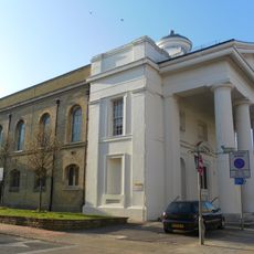
St Paul's Church, Worthing
242 m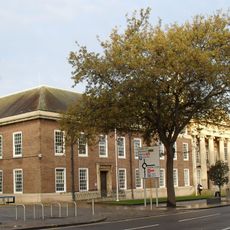
Worthing Town Hall including Assembly Hall and Worthing Room
337 m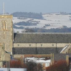
Christ Church, Worthing
126 m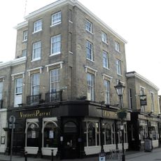
Thieves Kitchen
245 m
The Worthing Lido
317 m
Holy Trinity Church
425 m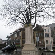
Worthing War Memorial
382 m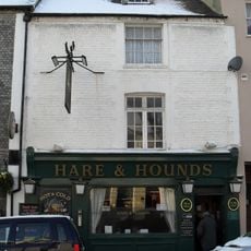
Hare And Hounds Public House
54 m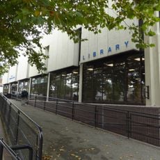
Worthing Library
266 m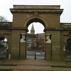
Lodges And Gateway To Park Crescent
442 m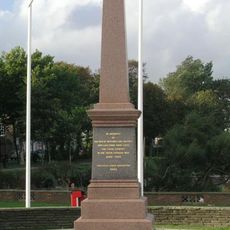
Worthing Boer War Memorial
437 m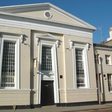
Bedford Hall
246 m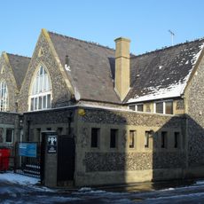
Christ Church School
116 m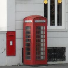
K6 Telephone Kiosk, The Steyne
397 m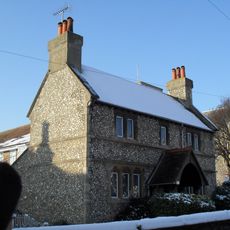
Humphrys Almshouses
148 m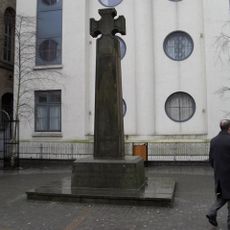
St Paul's War Memorial, Worthing
258 m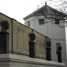
That Part Of The Montague Shopping Centre Which Is The Desert Quartet Sculptures With Supporting Loggia Alexander Terrace
114 m
52, 52A And 52B, Richmond Road
327 m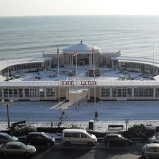
The Lido
299 m
8-14, Bedford Row
272 m
44, High Street
391 m
Numbers 1-14 Including Sections Of Railings Along The Front
215 mRecensioni
Ha visitato questo luogo? Tocchi le stelle per valutarlo e condividere la Sua esperienza o foto con la community! Provalo ora! Puoi annullarlo in qualsiasi momento.
Scopri tesori nascosti ad ogni viaggio!
Da piccoli caffè caratteristici a panorami nascosti, fuggi dalla folla e scova i posti che fanno davvero per te. La nostra app ti semplifica tutto: ricerca vocale, filtri furbi, percorsi ottimizzati e dritte autentiche da viaggiatori di tutto il mondo. Scaricala subito per vivere l'avventura sul tuo smartphone!

Un nuovo approccio alla scoperta turistica❞
— Le Figaro
Tutti i luoghi che meritano di essere esplorati❞
— France Info
Un’escursione su misura in pochi clic❞
— 20 Minutes