
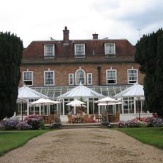
Holmhurst St Mary's School, building in Hastings, East Sussex, UK
Posizione: Hastings
Coordinate GPS: 50.88761,0.56209
Ultimo aggiornamento: 22 aprile 2025 alle 10:40
Beauport Park
1.5 km
Church in the Wood
2.3 km
Alexandra Park
2.4 km
Speckled Wood, Hastings
3.5 km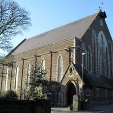
Church of St Thomas of Canterbury and English Martyrs, St Leonards-on-Sea
3.5 km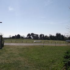
Horntye Park Sports Complex
3 km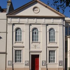
Hastings Unitarian Church
3.5 km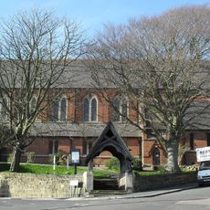
St Peter's Church, St Leonards-on-Sea
3 km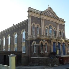
St Leonard's Baptist Church
3.5 km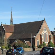
St Matthew's Church, Silverhill
2.5 km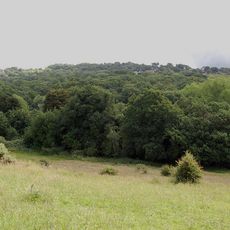
St Helen's Wood
1.6 km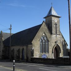
St Luke's Church, Silverhill
2 km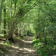
Marline Valley Woods
2.3 km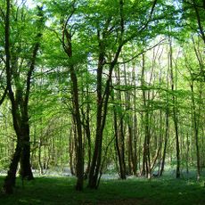
Maplehurst Wood
622 m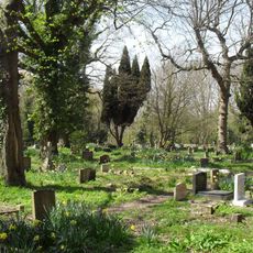
Church Wood and Robsack Wood
2.6 km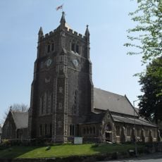
Christ Church
2.6 km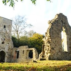
Old St Helen's Church, Ore
1.9 km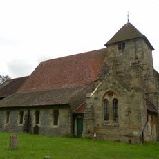
The Parish Church of St John the Baptist
2.4 km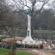
Hastings and St Leonards War Memorial
3.1 km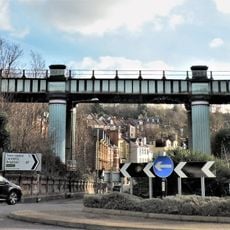
Railway Bridge
3.2 km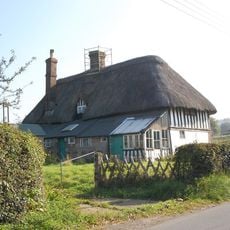
Wheel Cottage
2.6 km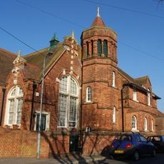
The Former Priory Road School Buildings
3.5 km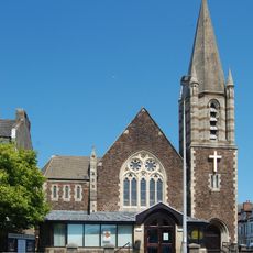
St Leonards-on-Sea Methodist Church
2.7 km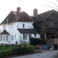
Old Coghurst Farmhouse
3.2 km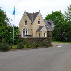
The Lodge Of Coghurst Hall
2.6 km
Church Place Farmhouse
2.2 km
Downoak Farmhouse
3.4 km
Moor Farmhouse
2.5 kmRecensioni
Ha visitato questo luogo? Tocchi le stelle per valutarlo e condividere la Sua esperienza o foto con la community! Provalo ora! Puoi annullarlo in qualsiasi momento.
Scopri tesori nascosti ad ogni viaggio!
Da piccoli caffè caratteristici a panorami nascosti, fuggi dalla folla e scova i posti che fanno davvero per te. La nostra app ti semplifica tutto: ricerca vocale, filtri furbi, percorsi ottimizzati e dritte autentiche da viaggiatori di tutto il mondo. Scaricala subito per vivere l'avventura sul tuo smartphone!

Un nuovo approccio alla scoperta turistica❞
— Le Figaro
Tutti i luoghi che meritano di essere esplorati❞
— France Info
Un’escursione su misura in pochi clic❞
— 20 Minutes