
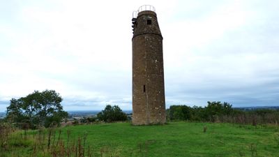
Tower On St Michaels Hill, building in Montacute, South Somerset, Somerset, UK
Posizione: Montacute
Coordinate GPS: 50.94999,-2.72243
Ultimo aggiornamento: 4 marzo 2025 alle 18:18
Montacute Castle
12 m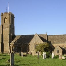
Church of St Catherine, Montacute
325 m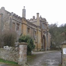
Abbey Farmhouse, Montacute
282 m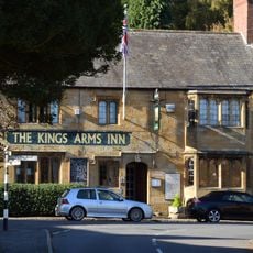
The Kings Arms Inn
290 m
House On Corner Of The Borough The Tudor Rose Tea Room
434 m
Post Office and K6 telephone call box adjoining
463 m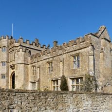
Abbey Gate
282 m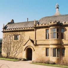
The Lodge, about 165 metres south-south-west of Montacute House
472 m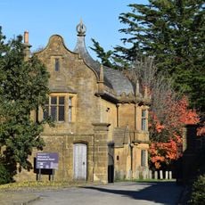
South West Gateway To Montacute House
468 m
23 And 24, The Borough
439 m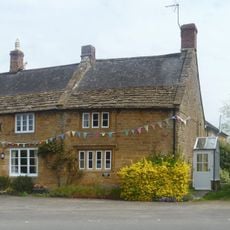
6, The Borough
488 m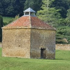
Priory Dovecote, About 90 Metres East South East Of Abbey Farmhouse
371 m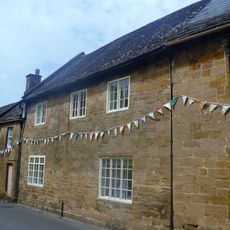
10A, Middle Street
413 m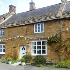
The Old Bakery
485 m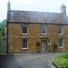
No 21 And Linking Wall To South
439 m
11A, Middle Street
423 m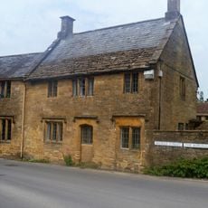
13, Middle Street
447 m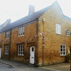
The Two Houses Immediately West Of, And Attached To No 27 The Borough
421 m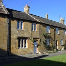
22, The Borough
440 m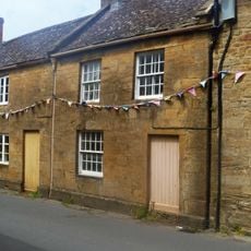
10, Middle Street
408 m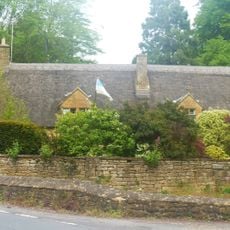
Monks House
398 m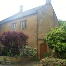
No 50, With Front Boundary Railings And North Wing Wall
291 m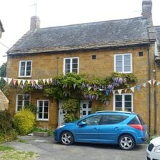
3 And 4, The Borough
484 m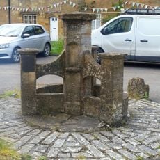
Drinking Fountain
456 m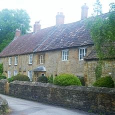
Baytree Farmhouse
379 m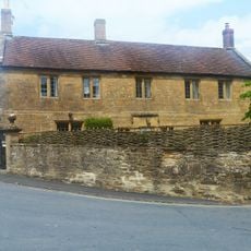
The Old Vicarage And Adjacent Gateway And Boundary Wall
327 m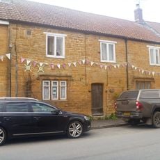
29 And 30, Bishopston
310 m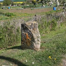
Milestone, Montacute Road, beside allotment gardens, N of St Michael's Hill
403 mRecensioni
Ha visitato questo luogo? Tocchi le stelle per valutarlo e condividere la Sua esperienza o foto con la community! Provalo ora! Puoi annullarlo in qualsiasi momento.
Scopri tesori nascosti ad ogni viaggio!
Da piccoli caffè caratteristici a panorami nascosti, fuggi dalla folla e scova i posti che fanno davvero per te. La nostra app ti semplifica tutto: ricerca vocale, filtri furbi, percorsi ottimizzati e dritte autentiche da viaggiatori di tutto il mondo. Scaricala subito per vivere l'avventura sul tuo smartphone!

Un nuovo approccio alla scoperta turistica❞
— Le Figaro
Tutti i luoghi che meritano di essere esplorati❞
— France Info
Un’escursione su misura in pochi clic❞
— 20 Minutes