
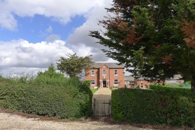
Elms Farmhouse, farmhouse in Aswarby and Swarby, North Kesteven, Lincolnshire, UK
Posizione: Aswarby and Swarby
Coordinate GPS: 52.94821,-0.40153
Ultimo aggiornamento: 2 marzo 2025 alle 21:07
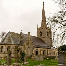
St Botolph's Church
4.8 km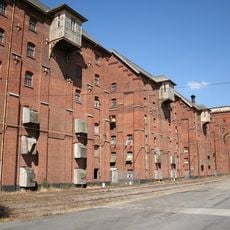
Bass Maltings, Sleaford
5 km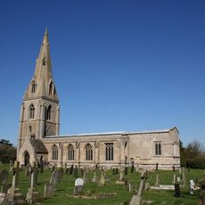
St Peter's Church, Threekingham
4.3 km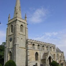
Parish Church of St Denys, Aswarby
825 m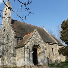
Parish Church of St Lucia
4.1 km
Parish Church of St Andrew
3.3 km
Parish Church of St Mary and All Saints
2.8 km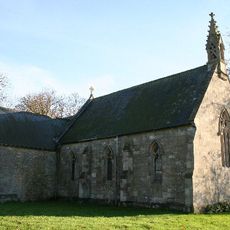
Church of St Andrew
4.8 km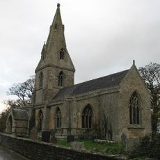
Parish Church of St Thomas A Becket
3.3 km
Parish Church of St Denys, Silk Willoughby
3.3 km
Parish Church of St Peter and Paul
2.1 km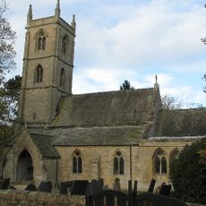
Parish Church of St Botolph
4.8 km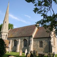
Church of St Andrew
2.1 km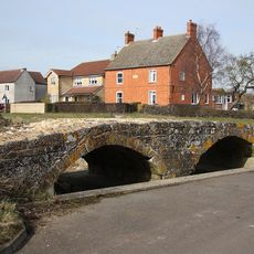
Packhorse bridge, Northbeck
2.3 km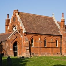
Former Parish Church Of St Nicholas
2.9 km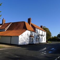
Three Kings Public House
4.2 km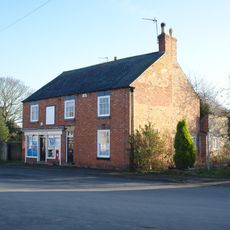
Post Office
2.2 km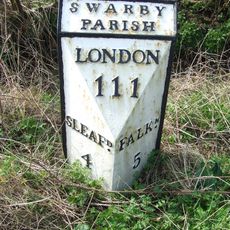
Milestone, 300 Yds North Of Crofton Lane
1.9 km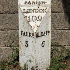
Mile Post North Of The Drove Turning
2.1 km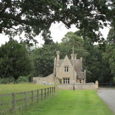
South Lodge with Attached Wall and Gateway
856 m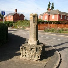
Silk Willoughby village cross
3.4 km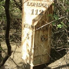
Milepost North Of Parish Boundary
3.1 km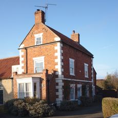
30, High Street
2.2 km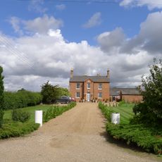
Thorns Farmhouse
677 m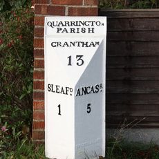
Milepost, Grantham Road, Quarrington, by No. 236
5.2 km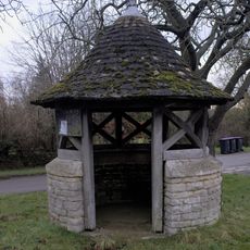
Former Well Head On Green
2.9 km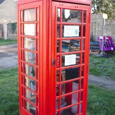
K6 Telephone Kiosk Outside Number 37
2.2 km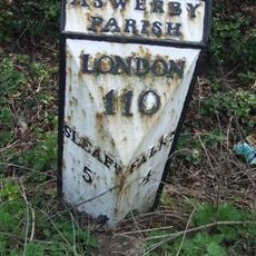
Milepost 150 Yards West Of Answarby Turning
1.2 kmRecensioni
Ha visitato questo luogo? Tocchi le stelle per valutarlo e condividere la Sua esperienza o foto con la community! Provalo ora! Puoi annullarlo in qualsiasi momento.
Scopri tesori nascosti ad ogni viaggio!
Da piccoli caffè caratteristici a panorami nascosti, fuggi dalla folla e scova i posti che fanno davvero per te. La nostra app ti semplifica tutto: ricerca vocale, filtri furbi, percorsi ottimizzati e dritte autentiche da viaggiatori di tutto il mondo. Scaricala subito per vivere l'avventura sul tuo smartphone!

Un nuovo approccio alla scoperta turistica❞
— Le Figaro
Tutti i luoghi che meritano di essere esplorati❞
— France Info
Un’escursione su misura in pochi clic❞
— 20 Minutes