
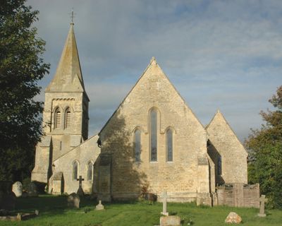
Church of St Giles, church building in Tetsworth, South Oxfordshire, Oxfordshire, UK
Posizione: Tetsworth
Coordinate GPS: 51.70885,-1.00861
Ultimo aggiornamento: 3 marzo 2025 alle 03:11
Rycote House
3.7 km
Thame Abbey
3.8 km
Adwell House
2.2 km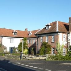
The Swan
251 m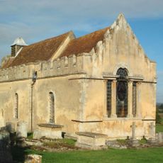
Church of St Andrew
2.3 km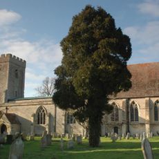
Church of St Peter
4.2 km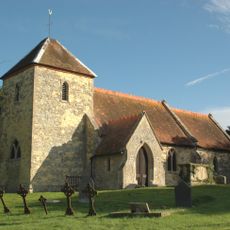
Church of St Mary Magdalen
2.4 km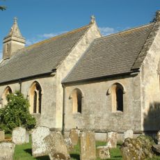
Church of St Helen
4.6 km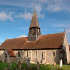
Church of St Mary
4.4 km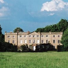
Haseley Court
4.2 km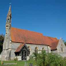
Church of St Mary
2.3 km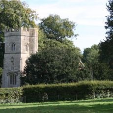
Rycote Chapel
3.6 km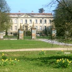
Thame Park House
3.7 km
Attington Toll House
1.4 km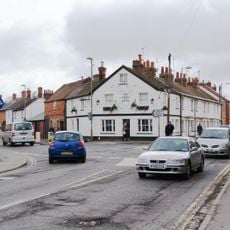
Cross Keys Public House
4.7 km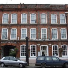
The Spread Eagle Hotel
4.7 km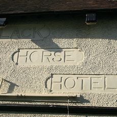
The Black Horse Hotel
4.7 km
The Birdcage Public House
4.8 km
The Old Post Office
4.6 km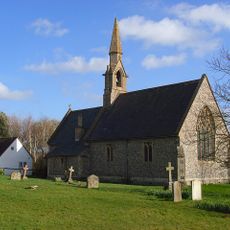
St Lawrence
3.5 km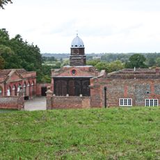
Wheatfield Park Coach House, Stables And Farmhouse
2.3 km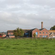
Model Farm, Engine House And Attached Buildings Approximately 15 Metres South South West Of Farmhouse
4.6 km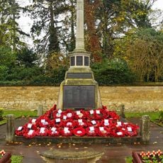
Thame War Memorial
4.7 km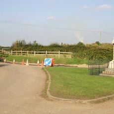
Moreton War Memorial, Oxfordshire
3.2 km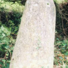
Milestone At Sp 6786 0246
1.1 km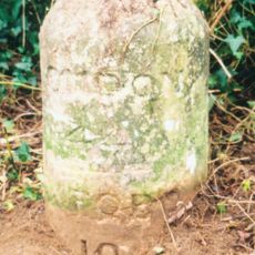
Milestone Approximately 500 Metres North Of Lobb Farmhouse
2.7 km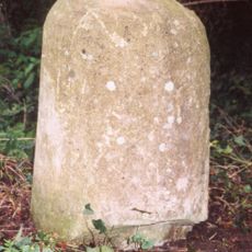
Milestone, London Road; Milton Common, W of Belfry Hotel, opp. Old London Road
4.2 km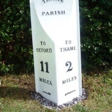
Milepost, Rycote Lane; N side of entrance to Oxfordshire Golf Club, Lobbersdown Hill
2.9 kmRecensioni
Ha visitato questo luogo? Tocchi le stelle per valutarlo e condividere la Sua esperienza o foto con la community! Provalo ora! Puoi annullarlo in qualsiasi momento.
Scopri tesori nascosti ad ogni viaggio!
Da piccoli caffè caratteristici a panorami nascosti, fuggi dalla folla e scova i posti che fanno davvero per te. La nostra app ti semplifica tutto: ricerca vocale, filtri furbi, percorsi ottimizzati e dritte autentiche da viaggiatori di tutto il mondo. Scaricala subito per vivere l'avventura sul tuo smartphone!

Un nuovo approccio alla scoperta turistica❞
— Le Figaro
Tutti i luoghi che meritano di essere esplorati❞
— France Info
Un’escursione su misura in pochi clic❞
— 20 Minutes