
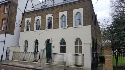
20 St Mathews Row, building in Tower Hamlets, Greater London, UK
Posizione: London Borough of Tower Hamlets
Coordinate GPS: 51.52565,-0.06768
Ultimo aggiornamento: 6 marzo 2025 alle 23:35
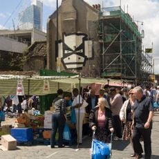
Brick Lane Market
357 m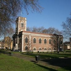
St Matthew, Bethnal Green
51 m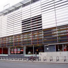
Rich Mix
417 m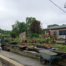
Spitalfields City Farm
409 m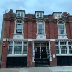
Bethnal Green Working Mens Club
388 m
113, Redchurch Street
326 m
Henley House
383 m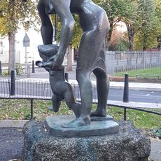
Lesson
238 m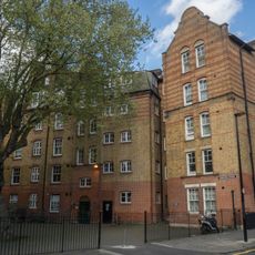
Sonning House
404 m
123-159, Bethnal Green Road E2
245 m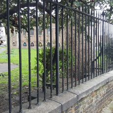
Railings, Wall, Gate Piers To Churchyard Of St Matthew's Church
56 m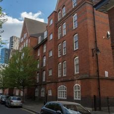
Cookham House
425 m
149, Brick Lane E1
323 m
St James Vicarage
336 m
Culham House
431 m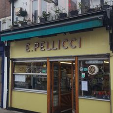
E. Pellicci Cafe
305 m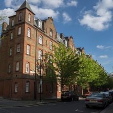
Walton House
405 m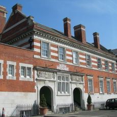
Cheshire Street Baths
224 m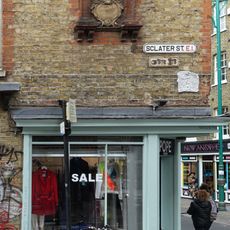
Number 125 With Attached Street Name Plaque To Sclater Street Street Name Plaque Attached To Number 125 Brick Lane
354 m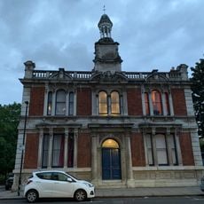
1-15, Ivimey Street E2
343 m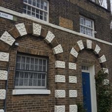
Parish Watch House At South West Corner Of Churchyard
128 m
35, St Matthew's Row
136 m
Former Bethnal Green British School (Infants School)
216 m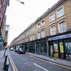
2-38, Cheshire Street E2
311 m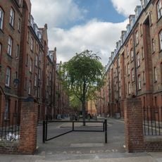
Iron Railings Between Henley House And Walton House
388 m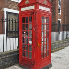
Western K2 Telephone Kiosk Outside Church Of St James
319 m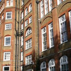
Weavers Field School
372 m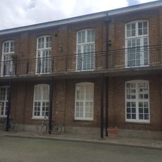
Former Bethnal Green British School
200 mRecensioni
Ha visitato questo luogo? Tocchi le stelle per valutarlo e condividere la Sua esperienza o foto con la community! Provalo ora! Puoi annullarlo in qualsiasi momento.
Scopri tesori nascosti ad ogni viaggio!
Da piccoli caffè caratteristici a panorami nascosti, fuggi dalla folla e scova i posti che fanno davvero per te. La nostra app ti semplifica tutto: ricerca vocale, filtri furbi, percorsi ottimizzati e dritte autentiche da viaggiatori di tutto il mondo. Scaricala subito per vivere l'avventura sul tuo smartphone!

Un nuovo approccio alla scoperta turistica❞
— Le Figaro
Tutti i luoghi che meritano di essere esplorati❞
— France Info
Un’escursione su misura in pochi clic❞
— 20 Minutes