
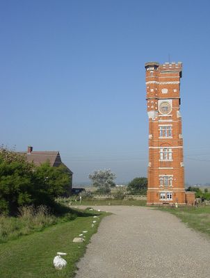
Former Water Tower, tower in New Romney, Shepway, Kent, UK
Posizione: New Romney
Coordinate GPS: 50.98855,0.97003
Ultimo aggiornamento: 3 marzo 2025 alle 01:19
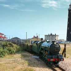
Romney, Hythe and Dymchurch Railway
5.4 km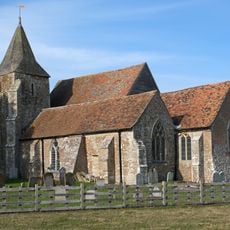
Church of St Clement, Old Romney
5 km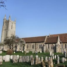
All Saints Church, Lydd
6 km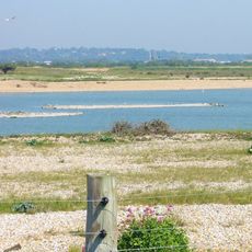
Dungeness, Romney Marsh and Rye Bay
5.3 km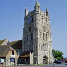
Church of St Nicholas
2.1 km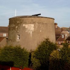
Dymchurch Martello Tower
4.4 km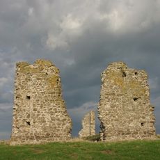
Hope All Saints', remains of church
3.6 km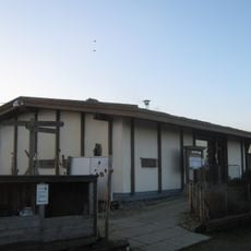
Romney Warren Country Park
1.2 km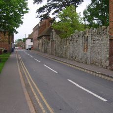
St John's Priory, Including The Ruins Of The Priory
2.1 km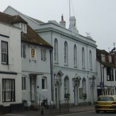
The Town Hall
2.2 km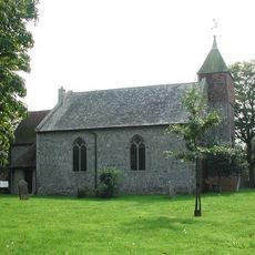
Church of St Peter and St Paul
4.9 km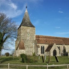
Church of St Mary the Virgin
3.4 km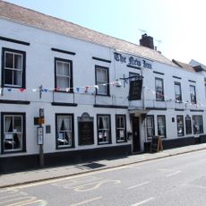
The New Inn
2.1 km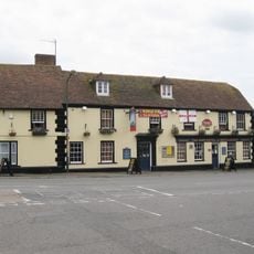
The Ship Hotel
1.9 km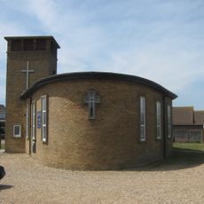
St Peter's
2.8 km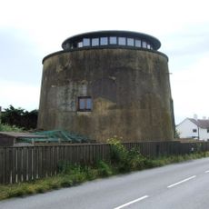
Martello Tower No. 23
5.9 km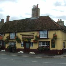
The Cinque Port Arms
2.3 km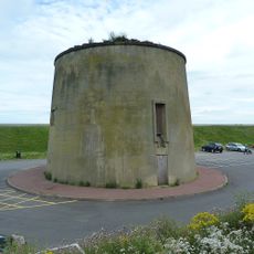
Martello Tower No. 25
4.1 km
Lade Fort
4.6 km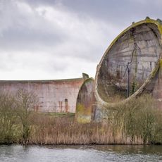
Denge acoustic mirrors
3.8 km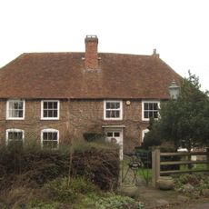
The Manor House
5.1 km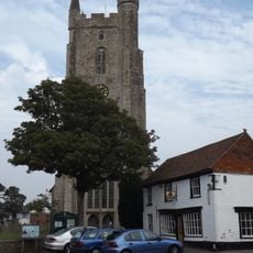
1, High Street
6.1 km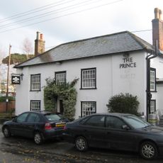
The Prince Of Wales Public House
1.9 km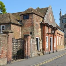
The Assembly Rooms And Schoolroom Adjoining
2.1 km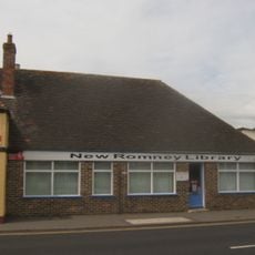
New Romney Library
2 km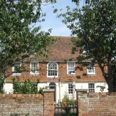
Mulberry House
2.3 km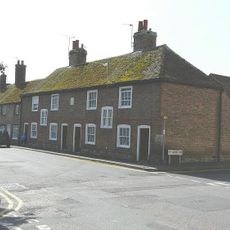
Southlands Hospital
2.3 km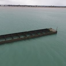
Phoenix Caisson off Littlestone-on-Sea
1.1 kmRecensioni
Ha visitato questo luogo? Tocchi le stelle per valutarlo e condividere la Sua esperienza o foto con la community! Provalo ora! Puoi annullarlo in qualsiasi momento.
Scopri tesori nascosti ad ogni viaggio!
Da piccoli caffè caratteristici a panorami nascosti, fuggi dalla folla e scova i posti che fanno davvero per te. La nostra app ti semplifica tutto: ricerca vocale, filtri furbi, percorsi ottimizzati e dritte autentiche da viaggiatori di tutto il mondo. Scaricala subito per vivere l'avventura sul tuo smartphone!

Un nuovo approccio alla scoperta turistica❞
— Le Figaro
Tutti i luoghi che meritano di essere esplorati❞
— France Info
Un’escursione su misura in pochi clic❞
— 20 Minutes