
136 And 138, High Street, building in Tonbridge and Malling, Kent, UK
Posizione: Tonbridge and Malling
Indirizzo: 136 And 138, High Street, Tonbridge and Malling, Kent, TN9
Coordinate GPS: 51.19696,0.27506
Ultimo aggiornamento: 3 giugno 2025 alle 17:58
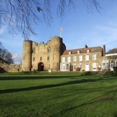
Castello di Tonbridge
125 m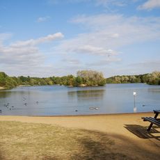
Haysden Country Park
2 km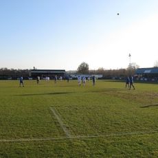
Longmead Stadium
1.7 km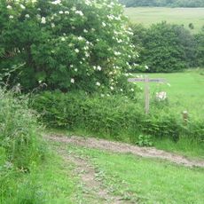
Lullingstone Country Park
2 km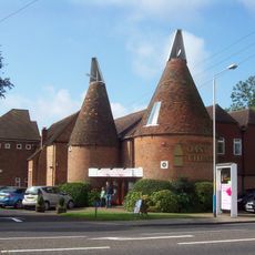
Oast Theatre
1.3 km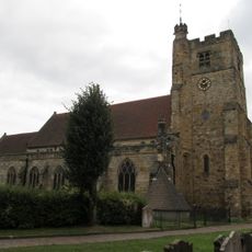
Church of St Peter and St Paul
146 m
The Rose And Crown Hotel
35 m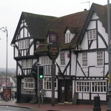
Ye Olde Chequers Inn
74 m
The Chapel Tonbridge School
436 m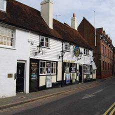
The Man Of Kent Public House
99 m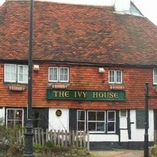
Ivy House Public House
238 m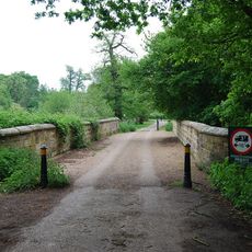
Lake Bridge
1.9 km
Ferox Hall
294 m
The Manor House
557 m
The Hermitage
230 m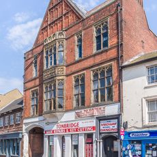
145 And 147, High Street
62 m
The Red House
245 m
157, High Street
108 m
Minerva House Minerva House Annexe
218 m
139, High Street
51 m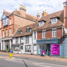
161, High Street
121 m
Old School House
896 m
Tyger's Head
117 m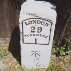
Milestone At 576 482
2 km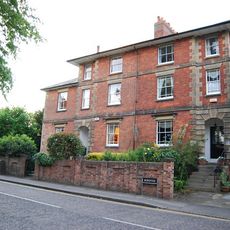
15, Bordyke
257 m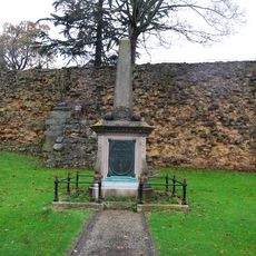
Tonbridge Boer War Memorial
165 m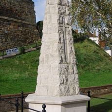
Tonbridge War Memorial
130 m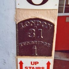
Milestone, Railway Approach, close to N of Pembury Road, in wall of Beat N Track shop
843 mRecensioni
Ha visitato questo luogo? Tocchi le stelle per valutarlo e condividere la Sua esperienza o foto con la community! Provalo ora! Puoi annullarlo in qualsiasi momento.
Scopri tesori nascosti ad ogni viaggio!
Da piccoli caffè caratteristici a panorami nascosti, fuggi dalla folla e scova i posti che fanno davvero per te. La nostra app ti semplifica tutto: ricerca vocale, filtri furbi, percorsi ottimizzati e dritte autentiche da viaggiatori di tutto il mondo. Scaricala subito per vivere l'avventura sul tuo smartphone!

Un nuovo approccio alla scoperta turistica❞
— Le Figaro
Tutti i luoghi che meritano di essere esplorati❞
— France Info
Un’escursione su misura in pochi clic❞
— 20 Minutes