
Highlands House, house in Mereworth, Tonbridge and Malling, Kent, UK
Posizione: Mereworth
Coordinate GPS: 51.26290,0.37137
Ultimo aggiornamento: 16 aprile 2025 alle 09:00

Mereworth Castle
1.7 km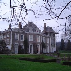
Oxon Hoath
3.2 km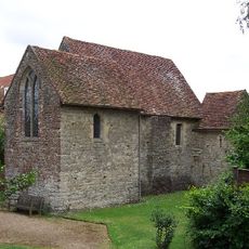
Old Soar Manor
3.6 km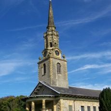
St Lawrence's Church, Mereworth
644 m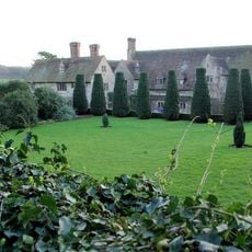
Nettlestead Place
3.7 km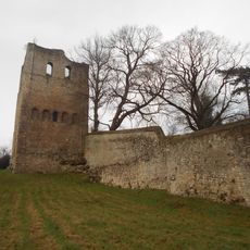
St Leonards Tower
3.5 km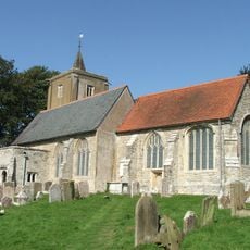
St Michael's Church, East Peckham
2.2 km
St Mary's Church, Nettlestead
3.6 km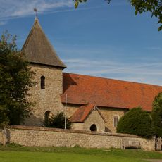
Church of St Dunstan
2 km
Church of Saint John the Baptist
3 km
Triumphal Arch In Mereworth Park
2.3 km
Roydon Hall
2.7 km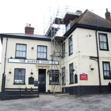
The Queens Head Public House
376 m
Wateringbury Place
2.9 km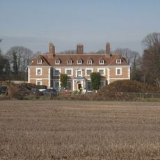
Yotes Court
1 km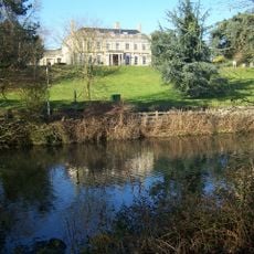
Douce's Manor
3.8 km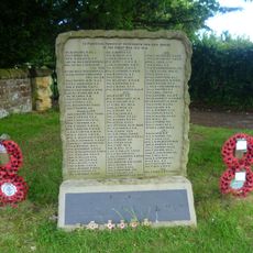
Mereworth War Memorial
610 m
Control Tower
2.4 km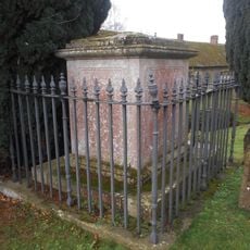
Frederick Addison Chest Tomb 15 Yards South Of Offham Church
3.9 km
Wateringbury War Memorial Cross
3 km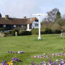
Quintain House
3.1 km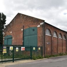
Former Goods Shed At Wateringbury Station
3.8 km
288-292, Old Road
2.3 km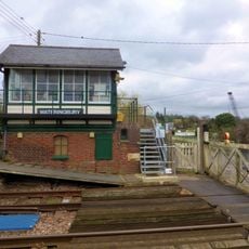
Wateringbury Signal Box
3.8 km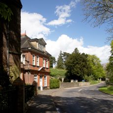
Malling Place
3.6 km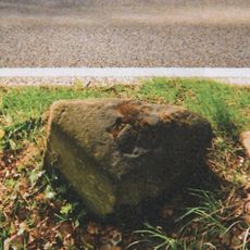
Milestone, Seven Mile Lane, half mile N of Beech Road, by 50 sign
1.7 km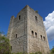
Tower keep castle at West Malling
3.5 km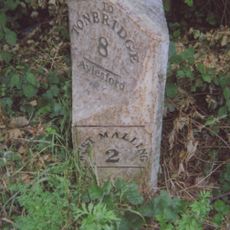
Milestone, Malling Road, N of crossroads with Kent Street, by entrance to log company(Kate Reed Wood)
1.3 kmRecensioni
Ha visitato questo luogo? Tocchi le stelle per valutarlo e condividere la Sua esperienza o foto con la community! Provalo ora! Puoi annullarlo in qualsiasi momento.
Scopri tesori nascosti ad ogni viaggio!
Da piccoli caffè caratteristici a panorami nascosti, fuggi dalla folla e scova i posti che fanno davvero per te. La nostra app ti semplifica tutto: ricerca vocale, filtri furbi, percorsi ottimizzati e dritte autentiche da viaggiatori di tutto il mondo. Scaricala subito per vivere l'avventura sul tuo smartphone!

Un nuovo approccio alla scoperta turistica❞
— Le Figaro
Tutti i luoghi che meritano di essere esplorati❞
— France Info
Un’escursione su misura in pochi clic❞
— 20 Minutes