
Bugglesden, building in Tenterden, Ashford, Kent, UK
Posizione: Tenterden
Coordinate GPS: 51.09753,0.66864
Ultimo aggiornamento: 18 ottobre 2025 alle 12:29
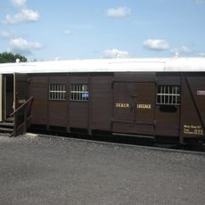
Cavell Van
3.2 km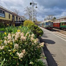
Kent & East Sussex Railway
3.3 km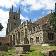
Parish Church of St Mildred
3.5 km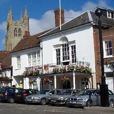
Tenterden Town Hall
3.5 km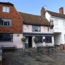
The Woolpack Hotel
3.5 km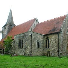
Parish Church of St Mary
3.3 km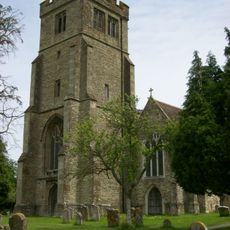
Parish Church of All Saints
2.8 km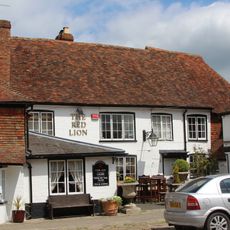
The Red Lion Inn
2.7 km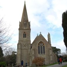
Church of St Michael
1.9 km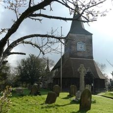
War Memorial in the Grounds of Church of St Mary the Virgin
3.3 km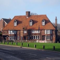
The Chequers Inn
3.2 km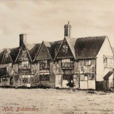
Old Cloth Workers Hall The Old Cloth Hall
2.7 km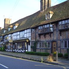
3-17 High Street
2.7 km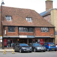
18 And 20, High Street
3.5 km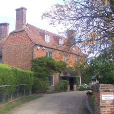
Hathewolden Grange
3.1 km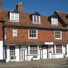
28 High Street
2.7 km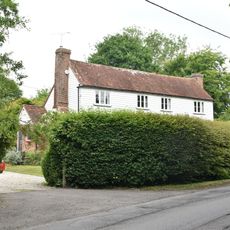
Crosswell Farmhouse
3 km
Hendon Hall
2.6 km
Bargate Farmhouse
2.9 km
Lion House
3.2 km
Birchley East Birchley Farmhouse Birchley West
2.5 km
15 And 17, East Cross
3.4 km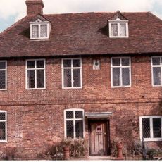
Biddenden Place
2.5 km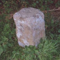
Milestone, Tenterden Road, opp. Willow Pond, E of "Whitestones"
1.3 km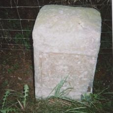
Milestone, village of High Halden
2.6 km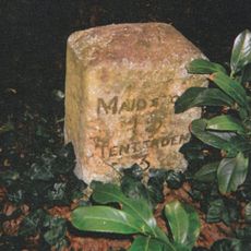
Milestone, Tenterden Road, S of "Castleton's Oak" PH, nr Brogues Wood
2.4 km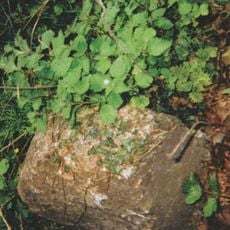
Milestone, Cranbrook Road, Fosten Green, W of Fosten Lane
3.2 km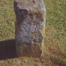
Milestone, Ashford Road; at jct with Chalk Avenue
2.7 kmRecensioni
Ha visitato questo luogo? Tocchi le stelle per valutarlo e condividere la Sua esperienza o foto con la community! Provalo ora! Puoi annullarlo in qualsiasi momento.
Scopri tesori nascosti ad ogni viaggio!
Da piccoli caffè caratteristici a panorami nascosti, fuggi dalla folla e scova i posti che fanno davvero per te. La nostra app ti semplifica tutto: ricerca vocale, filtri furbi, percorsi ottimizzati e dritte autentiche da viaggiatori di tutto il mondo. Scaricala subito per vivere l'avventura sul tuo smartphone!

Un nuovo approccio alla scoperta turistica❞
— Le Figaro
Tutti i luoghi che meritano di essere esplorati❞
— France Info
Un’escursione su misura in pochi clic❞
— 20 Minutes