
Angier Chest Tomb About 16 Metres North East Of The Chancel Of The Church Of St John
Angier Chest Tomb About 16 Metres North East Of The Chancel Of The Church Of St John, chest tomb in Hildenborough, Tonbridge and Malling, Kent, UK
Posizione: Hildenborough
Coordinate GPS: 51.21751,0.23955
Ultimo aggiornamento: 15 ottobre 2025 alle 19:12
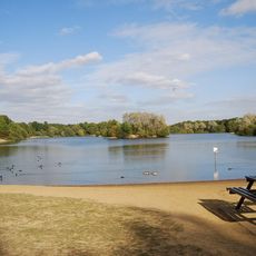
Haysden Country Park
2.9 km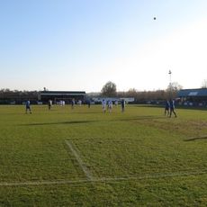
Longmead Stadium
2.2 km
Lullingstone Country Park
2.9 km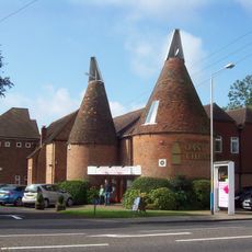
Oast Theatre
2 km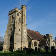
St Mary's Church, Leigh
2.8 km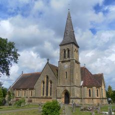
Parish Church of St John
27 m
The Chapel Tonbridge School
3.1 km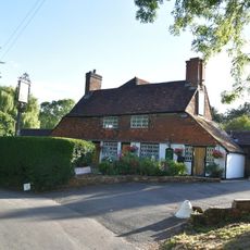
The Plough Inn
2 km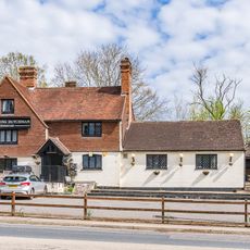
The Flying Dutchman Public House
853 m
Hildenborough War Memorial
177 m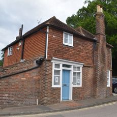
Old Brickmakers
3.1 km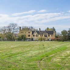
Mountains
439 m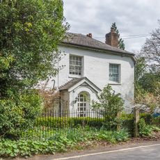
Little Foxbush
243 m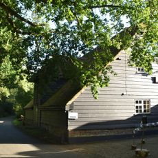
Barn Immediately South Of The Plough Inn
2 km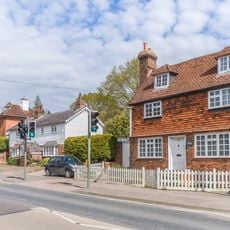
122, London Road
823 m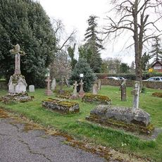
St John the Evangelist Churchyard
29 m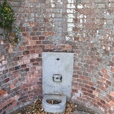
South Wall To Hall Place Park
3.1 km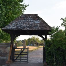
Wall And Lych Gate To Church Of St Mary
2.7 km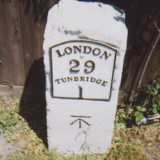
Milestone At 576 482
1.4 km
Estate Office And Workshop To South Of Hall Place With Peacock House
3 km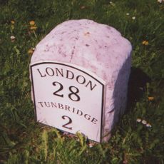
Milestone At 563 489
261 m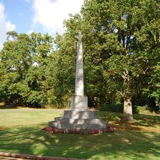
Leigh War memorial, Kent
2.8 km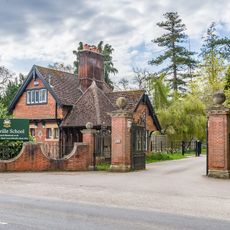
Lodge At The Entrance To Sackville School
82 m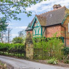
Mountains Lodge
337 m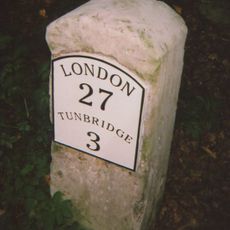
Milestone At 552 502
1.8 km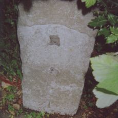
Milestone, London Road; W of Dry Hill Road, opp. School
2.9 km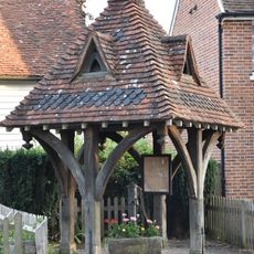
Well House To North West Of Cottage Adjoining Park View Cottage To West
3 km
Opera d'arte, scultura
2.9 kmRecensioni
Ha visitato questo luogo? Tocchi le stelle per valutarlo e condividere la Sua esperienza o foto con la community! Provalo ora! Puoi annullarlo in qualsiasi momento.
Scopri tesori nascosti ad ogni viaggio!
Da piccoli caffè caratteristici a panorami nascosti, fuggi dalla folla e scova i posti che fanno davvero per te. La nostra app ti semplifica tutto: ricerca vocale, filtri furbi, percorsi ottimizzati e dritte autentiche da viaggiatori di tutto il mondo. Scaricala subito per vivere l'avventura sul tuo smartphone!

Un nuovo approccio alla scoperta turistica❞
— Le Figaro
Tutti i luoghi che meritano di essere esplorati❞
— France Info
Un’escursione su misura in pochi clic❞
— 20 Minutes