
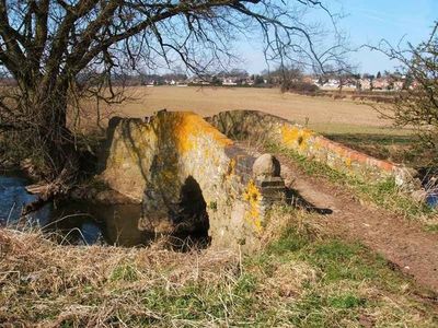
Coffin Bridge, packhorse bridge in Thurcaston and Cropston, Charnwood, Leicestershire, UK
Posizione: Thurcaston and Cropston
Coordinate GPS: 52.68996,-1.17358
Ultimo aggiornamento: 3 marzo 2025 alle 04:17
Bradgate Park
3.2 km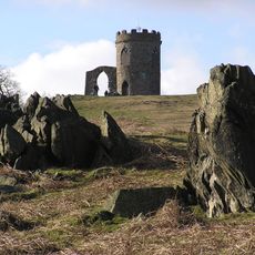
Old John
3.5 km
Rothley Temple
2.5 km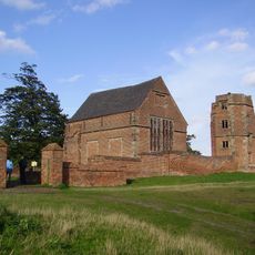
Bradgate House
2.6 km
Swithland Wood
2.7 km
Cropston Reservoir
1.4 km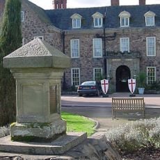
Rothley Court
2.1 km
Swithland Hall
2.1 km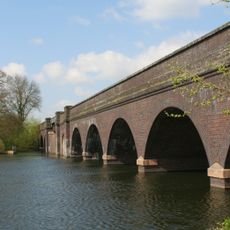
Swithland Viaduct
3.1 km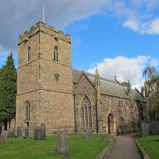
St Mary's Church, Anstey
2.2 km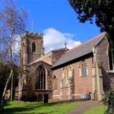
Church of St Mary the Virgin and St John the Baptist, Rothley
3.4 km
Roecliffe Manor Lawns
3.4 km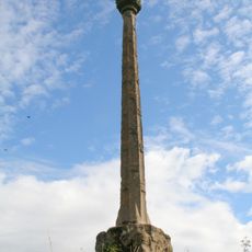
Mountsorrel Cross
2.1 km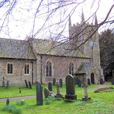
Church of St Leonard
2.3 km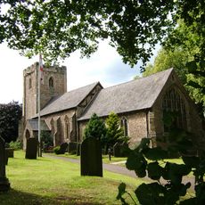
Church of All Saints
590 m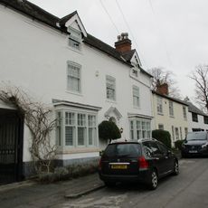
4, Church Street
3.3 km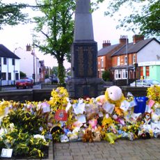
Rothley War Memorial and Walls
3.3 km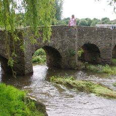
Pack Horse Bridge
2.3 km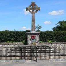
Swithland Cross War Memorial
2.8 km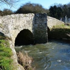
King William's Bridge
1.7 km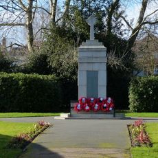
Anstey War Memorial
2.2 km
80, Town Green Street
2.8 km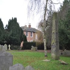
Mercian cross, St Mary and St John's churchyard
3.4 km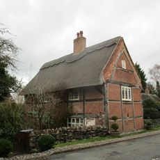
Latimer's House
761 m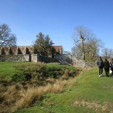
Tiltyard
2.5 km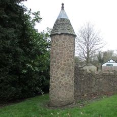
Lodge, Turret, Gate Piers And Gates At Rothley Court Hotel
2.6 km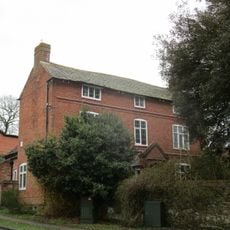
52, Anstey Lane
688 m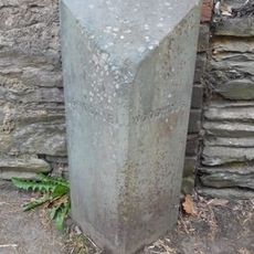
Former Parish Boundary Stones At Longdale Cottage
3.4 kmRecensioni
Ha visitato questo luogo? Tocchi le stelle per valutarlo e condividere la Sua esperienza o foto con la community! Provalo ora! Puoi annullarlo in qualsiasi momento.
Scopri tesori nascosti ad ogni viaggio!
Da piccoli caffè caratteristici a panorami nascosti, fuggi dalla folla e scova i posti che fanno davvero per te. La nostra app ti semplifica tutto: ricerca vocale, filtri furbi, percorsi ottimizzati e dritte autentiche da viaggiatori di tutto il mondo. Scaricala subito per vivere l'avventura sul tuo smartphone!

Un nuovo approccio alla scoperta turistica❞
— Le Figaro
Tutti i luoghi che meritano di essere esplorati❞
— France Info
Un’escursione su misura in pochi clic❞
— 20 Minutes