
Water Pump On South Side Of Road, well in Barking and Dagenham, Greater London, UK
Posizione: London Borough of Barking and Dagenham
Coordinate GPS: 51.57292,0.14776
Ultimo aggiornamento: 5 aprile 2025 alle 10:29
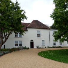
Valence House Museum
1.9 km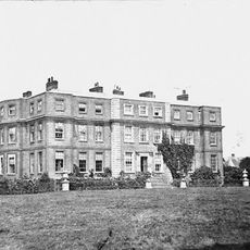
Gidea Hall
3.6 km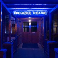
Brookside Theatre
2.6 km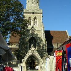
Parish Church of St Edward the Confessor
2.4 km
Parsloes Park
3.3 km
The Rom
3.4 km
Eastbrookend Country Park
3.4 km
Havering Museum
2.3 km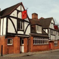
Cross Keys
3.8 km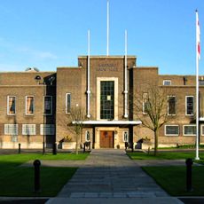
Havering Town Hall
2.7 km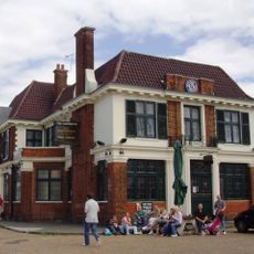
Eastbrook
2.7 km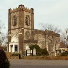
St. Peter and St. Paul, Dagenham
3.8 km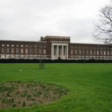
Dagenham Civic Centre
1.4 km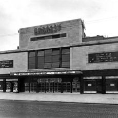
The Embassy Cinema
1.4 km
Beam Valley Country Park
3.9 km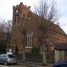
St Chad's Church, Chadwell Heath
824 m
Church of All Saints
3 km
Church of St Peter
3.4 km
Church of St Andrew
1.9 km
Church of St Mary
2 km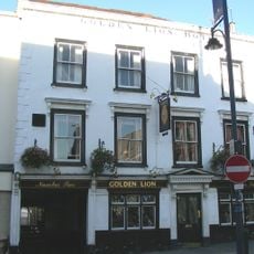
The Golden Lion The Golden Lion Public House
2.3 km
Morrisons
1.5 km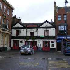
The Lamb Public House
2.3 km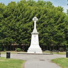
Romford War Memorial
2.8 km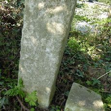
The Marks Stones (On East Side Of Road North Of Eastern Avenue, Set In A Hedge)
1.4 km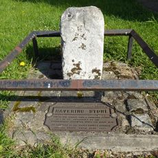
The Havering Stone (On North Side Of The Road At The Former Romford/Dagenham Borough Boundary)
24 m
27, Meadway
3.8 km
621, Rainham Road South
3.5 kmRecensioni
Ha visitato questo luogo? Tocchi le stelle per valutarlo e condividere la Sua esperienza o foto con la community! Provalo ora! Puoi annullarlo in qualsiasi momento.
Scopri tesori nascosti ad ogni viaggio!
Da piccoli caffè caratteristici a panorami nascosti, fuggi dalla folla e scova i posti che fanno davvero per te. La nostra app ti semplifica tutto: ricerca vocale, filtri furbi, percorsi ottimizzati e dritte autentiche da viaggiatori di tutto il mondo. Scaricala subito per vivere l'avventura sul tuo smartphone!

Un nuovo approccio alla scoperta turistica❞
— Le Figaro
Tutti i luoghi che meritano di essere esplorati❞
— France Info
Un’escursione su misura in pochi clic❞
— 20 Minutes