
Bridge And Dam Wall At Tq 721 339, bridge in Goudhurst, Tunbridge Wells, Kent, UK
Posizione: Goudhurst
Coordinate GPS: 51.07862,0.45549
Ultimo aggiornamento: 3 settembre 2025 alle 01:28
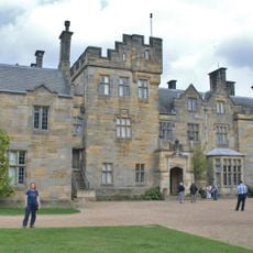
Scotney Castle
3.7 km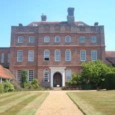
Finchcocks
3.3 km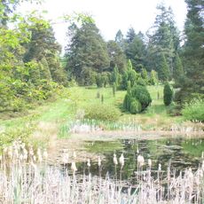
Pinetum di Bedgebury
404 m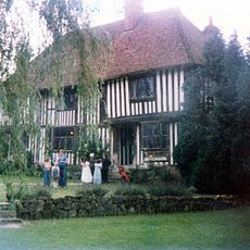
Pattyndenne Manor
2.1 km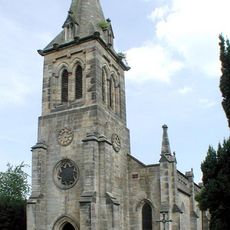
Christ Church, Kilndown
2.4 km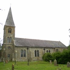
St Augustine's Church, Flimwell
3 km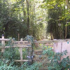
Combwell Wood
1.5 km
Scotney Castle
3.5 km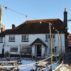
The Vine Hotel The Vine Hotel And Assembly Room
3.9 km
Pharmacy Cottage
3.9 km
Clyde Villa
2.7 km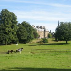
Bedgebury Park, Stable Courts And Garden Terraces
478 m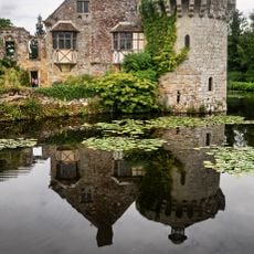
Old Scotney Castle
3.4 km
Bank House
3.9 km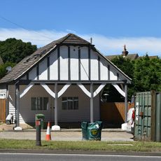
Former Colvin Bros. Filling Station
2.7 km
Weekes Bakery
3.9 km
Flimwell Lodge
2.4 km
Flimwell Place
2.6 km
Ketleys
3 km
Smugley Farmhouse
2.7 km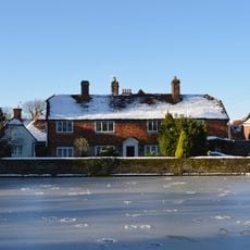
Hughenden
3.8 km
Fountain House
3.9 km
The Manor House With Projecting Wall
3.9 km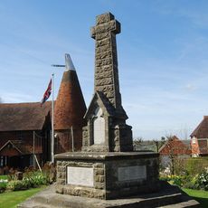
Goudhurst War Memorial
3.8 km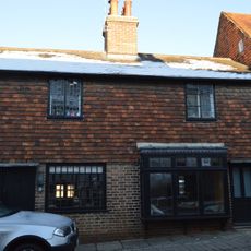
Property Adjacent To Weekes Bakery, Formerly A L Remnant, Tobacconist
3.9 km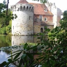
Causeway And Walls About 20 Metres West Of Old Scotney Castle
3.4 km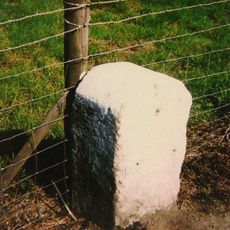
Milestone, Hawkhurst Road, Flimwell
2.9 km
Greenaways Shop And House Attached
3.9 kmRecensioni
Ha visitato questo luogo? Tocchi le stelle per valutarlo e condividere la Sua esperienza o foto con la community! Provalo ora! Puoi annullarlo in qualsiasi momento.
Scopri tesori nascosti ad ogni viaggio!
Da piccoli caffè caratteristici a panorami nascosti, fuggi dalla folla e scova i posti che fanno davvero per te. La nostra app ti semplifica tutto: ricerca vocale, filtri furbi, percorsi ottimizzati e dritte autentiche da viaggiatori di tutto il mondo. Scaricala subito per vivere l'avventura sul tuo smartphone!

Un nuovo approccio alla scoperta turistica❞
— Le Figaro
Tutti i luoghi che meritano di essere esplorati❞
— France Info
Un’escursione su misura in pochi clic❞
— 20 Minutes