
The Firs, building in Sevenoaks, Sevenoaks, Kent, UK
Posizione: Sevenoaks
Coordinate GPS: 51.28331,0.19439
Ultimo aggiornamento: 8 aprile 2025 alle 15:59
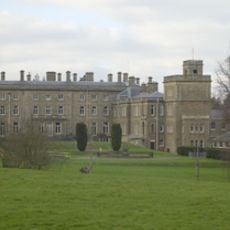
Dorton House
1.7 km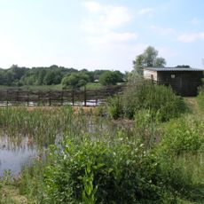
Sevenoaks Wildlife Reserve
1.2 km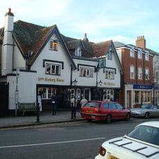
The Chequers Inn
1.5 km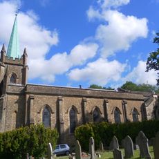
Church of St Mary
1.6 km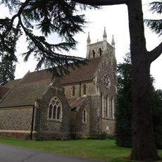
Church of St Mary
1.8 km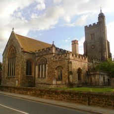
Church of Saint Nicholas
1.8 km
Churchill Court Including Terrace Walls
1.8 km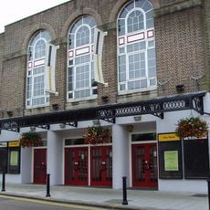
Stag Community Arts Centre
1.5 km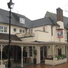
The Black Boy Public House
1.4 km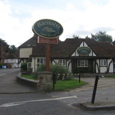
The Riverhead Public House
1.6 km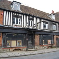
46, 48 And 48A, High Street
1.6 km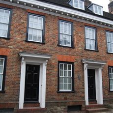
20-24, High Street
1.7 km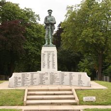
Sevenoaks War Memorial
812 m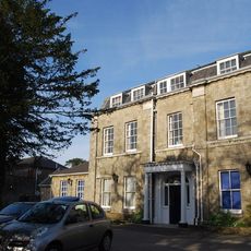
The Manor House
1.8 km
Forecourt Railings And Entrance Arch To The Manor House
1.8 km
Claridge House
1.8 km
23, High Street
1.7 km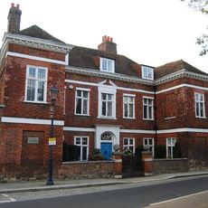
Chantry House Including Entrance Gateway And Screen Wall To Courtyard
1.8 km
The Red House Including Entrance Gateway, Railings And Side Brick Walls To Forecourt
1.6 km
The Old Vicarage
1.7 km
Main Lodge Entrance
1.8 km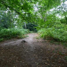
Bowl barrow in Millpond Wood
862 m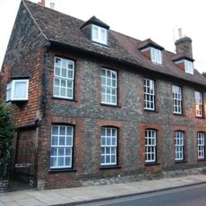
19, 21 And 21A, High Street
1.8 km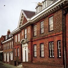
The Old House
1.7 km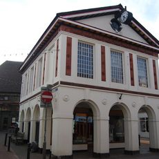
103, High Street
1.4 km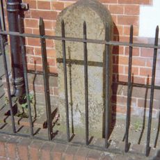
Milestone, Amherst Hill, Riverhead, nr jct with Worships Hill
1.7 km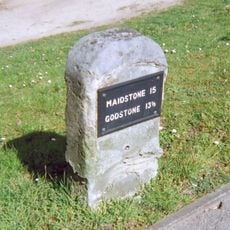
Milestone, Seal Road, by No 206, 40m W of jct with Filmer Lane
1.1 km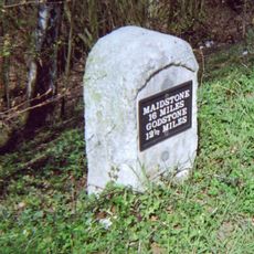
Milestone, Bradbourne Vale Road, W of railway bridge
728 mRecensioni
Ha visitato questo luogo? Tocchi le stelle per valutarlo e condividere la Sua esperienza o foto con la community! Provalo ora! Puoi annullarlo in qualsiasi momento.
Scopri tesori nascosti ad ogni viaggio!
Da piccoli caffè caratteristici a panorami nascosti, fuggi dalla folla e scova i posti che fanno davvero per te. La nostra app ti semplifica tutto: ricerca vocale, filtri furbi, percorsi ottimizzati e dritte autentiche da viaggiatori di tutto il mondo. Scaricala subito per vivere l'avventura sul tuo smartphone!

Un nuovo approccio alla scoperta turistica❞
— Le Figaro
Tutti i luoghi che meritano di essere esplorati❞
— France Info
Un’escursione su misura in pochi clic❞
— 20 Minutes