Byways, building in Chalford, Stroud, Gloucestershire, UK
Posizione: Chalford
Coordinate GPS: 51.72729,-2.15551
Ultimo aggiornamento: 27 ottobre 2025 alle 11:10
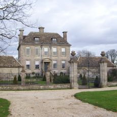
Nether Lypiatt Manor
2.1 km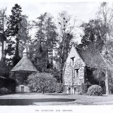
Lypiatt Park
2.8 km
Strawberry Banks
1.6 km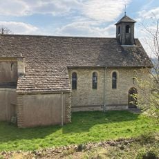
St Mary of the Angels Church, Brownshill
1.2 km
Three Groves Wood
1.9 km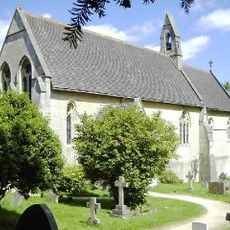
Church of St John the Baptist
787 m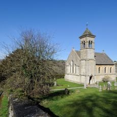
Church of St Luke
2.8 km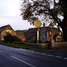
The Ragged Cot Inn
2.1 km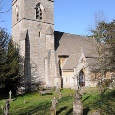
Church of St Michael and All Angels
1.2 km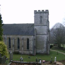
Church of St Bartholomew
1.9 km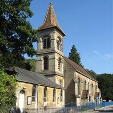
Christ Church
668 m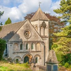
Church of the Holy Trinity
2.9 km
RMC: The cave
785 m
John King Monument In The Churchyard Approximately 10 Metres South West Of Church Of All Saints
2.9 km
Group Of 4 Mainly Damsell Family Monuments In The Churchyard Approximately 3 Metres South Of Chancel To Church Of All Saints
2.9 km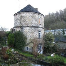
Canal Round House
738 m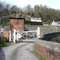
Signal Box At Brimscombe St Mary's Crossing
1.2 km
Obelisk Monument Approximately 120 Metres South Of Nether Lypiatt Manor
2 km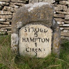
Milestone
2.2 km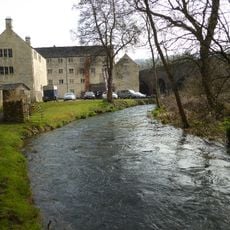
Main Mill Building At Bourne Mills
2.4 km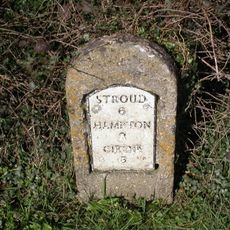
Milestone
1.9 km
Crossing Gates At Brimscombe St Mary's Crossing
1.2 km
Milestone, Limekiln Lane
2.7 km
Group Of 3 Monuments In The Churchyard Approximately 15 Metres South Of Porch To Church Of All Saints
2.9 km
Brimscombe War Memorial
2.7 km
Oakridge War Memorial
2.1 km
Wring ring
652 m
Opera d'arte
1.2 kmRecensioni
Ha visitato questo luogo? Tocchi le stelle per valutarlo e condividere la Sua esperienza o foto con la community! Provalo ora! Puoi annullarlo in qualsiasi momento.
Scopri tesori nascosti ad ogni viaggio!
Da piccoli caffè caratteristici a panorami nascosti, fuggi dalla folla e scova i posti che fanno davvero per te. La nostra app ti semplifica tutto: ricerca vocale, filtri furbi, percorsi ottimizzati e dritte autentiche da viaggiatori di tutto il mondo. Scaricala subito per vivere l'avventura sul tuo smartphone!

Un nuovo approccio alla scoperta turistica❞
— Le Figaro
Tutti i luoghi che meritano di essere esplorati❞
— France Info
Un’escursione su misura in pochi clic❞
— 20 Minutes