
The Fernery, building in Pitchcombe, Stroud, Gloucestershire, UK
Posizione: Pitchcombe
Coordinate GPS: 51.76955,-2.22191
Ultimo aggiornamento: 13 aprile 2025 alle 06:13
Edge Common
1.4 km
Stratford Park
2.2 km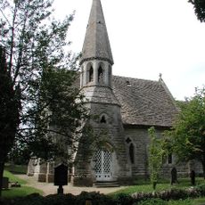
Church of St John the Baptist
2.1 km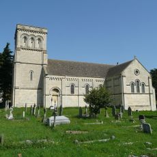
Church of St Paul
1.3 km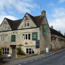
Star Inn
1.2 km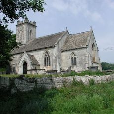
Church of St John the Baptist
512 m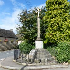
Whiteshill War Memorial
1.2 km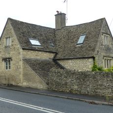
The Eagle
859 m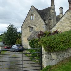
Stokenhill Farmhouse
981 m
Privy approximately 30 metres west of Stokenhill Farmhouse
999 m
Pitchcombe War Memorial
453 m
Barn approximately 10 metres south of Ruscombe Farmhouse
1.6 km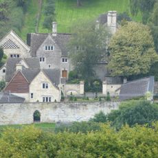
The Sheephouse
1.3 km
Gate screen approximately 18 metres south of Pitchcombe House
194 m
Horseshoe Cottage
1.2 km
Lodge to Hawkwood College
1.4 km
Rock Mill House
1.1 km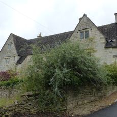
Wragg Castle Farmhouse and stables
811 m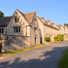
Stables and coach house approximately 30 metres south east of Pitchcombe House
229 m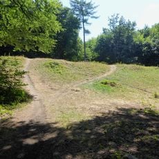
Randwick Hill long barrow, round barrows and dyke
2.3 km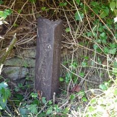
Boundary Post
1.9 km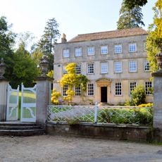
Pitchcombe House
222 m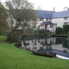
Little Mill
55 m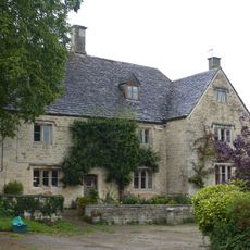
Ruscombe Farmhouse
1.6 km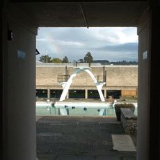
Stratford Park Diving Platform
2.2 km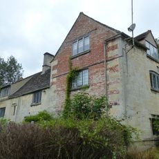
Kings Mill House
1.6 km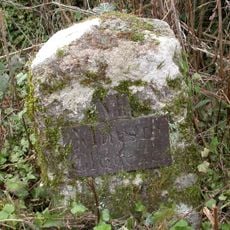
Milestone, Stepping Stone Lane
1.9 km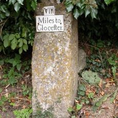
Milestone, Wick Street; 50m N The Malt House
1.2 kmRecensioni
Ha visitato questo luogo? Tocchi le stelle per valutarlo e condividere la Sua esperienza o foto con la community! Provalo ora! Puoi annullarlo in qualsiasi momento.
Scopri tesori nascosti ad ogni viaggio!
Da piccoli caffè caratteristici a panorami nascosti, fuggi dalla folla e scova i posti che fanno davvero per te. La nostra app ti semplifica tutto: ricerca vocale, filtri furbi, percorsi ottimizzati e dritte autentiche da viaggiatori di tutto il mondo. Scaricala subito per vivere l'avventura sul tuo smartphone!

Un nuovo approccio alla scoperta turistica❞
— Le Figaro
Tutti i luoghi che meritano di essere esplorati❞
— France Info
Un’escursione su misura in pochi clic❞
— 20 Minutes