
Charlham Bridge At Ngr Su 082999, bridge in Driffield, Cotswold, Gloucestershire, UK
Posizione: Driffield
Coordinate GPS: 51.69824,-1.88247
Ultimo aggiornamento: 4 giugno 2025 alle 15:41
Ampney Park
2.6 km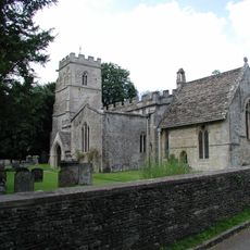
Church of the Holy Rood
2.6 km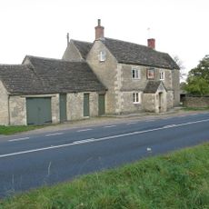
Red Lion
1.6 km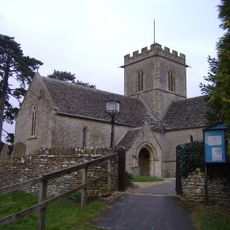
Church of St Mary the Virgin, Meysey Hampton
3.5 km
Wildmoorway Meadows
3 km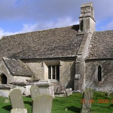
Church of St Mary
1.7 km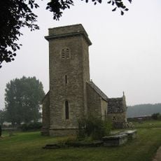
Church of St Mary
777 m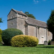
Church of St Peter
1.6 km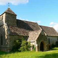
Church of St Michael
1.4 km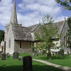
Church of All Saints
3.8 km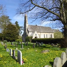
Church of St Michael and All Angels
1.8 km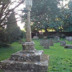
Cross in Churchyard of Church of the Holy Rood
2.6 km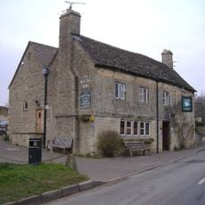
The Masons Arms
3.7 km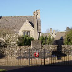
Poulton War Memorial
2.1 km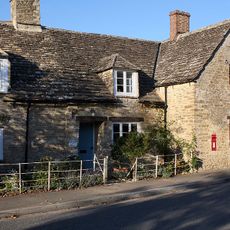
Letterbox Cottage Pear Tree Cottage
3.8 km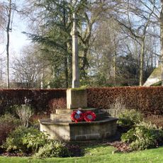
Ampney Crucis War Memorial
2.4 km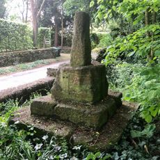
Wayside Cross at Ampney Crucis
2.5 km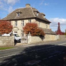
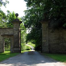
The Manor House And Gatepiers
2.1 km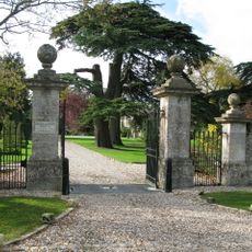
Down Ampney House
3.7 km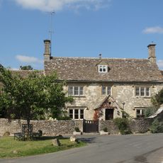
Cleeve House
1.5 km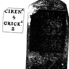
Milestone By Westfield Farm
3.6 km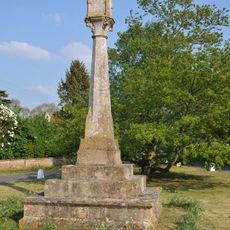
Village cross
3.3 km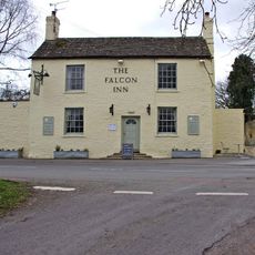
The Falcon
2.1 km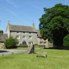
Villars Farmhouse
3.7 km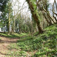
Ranbury Ring
1.3 km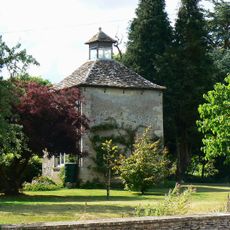
The Manor House
1.3 km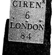
Milestone, opp. Marston Meysey Caravan Park; E of bus shelter.
3.3 km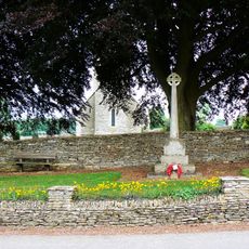
Driffield War Memorial, Gloucestershire
819 mRecensioni
Ha visitato questo luogo? Tocchi le stelle per valutarlo e condividere la Sua esperienza o foto con la community! Provalo ora! Puoi annullarlo in qualsiasi momento.
Scopri tesori nascosti ad ogni viaggio!
Da piccoli caffè caratteristici a panorami nascosti, fuggi dalla folla e scova i posti che fanno davvero per te. La nostra app ti semplifica tutto: ricerca vocale, filtri furbi, percorsi ottimizzati e dritte autentiche da viaggiatori di tutto il mondo. Scaricala subito per vivere l'avventura sul tuo smartphone!

Un nuovo approccio alla scoperta turistica❞
— Le Figaro
Tutti i luoghi che meritano di essere esplorati❞
— France Info
Un’escursione su misura in pochi clic❞
— 20 Minutes