
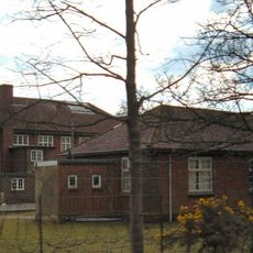
School And School House, school building in Selborne, East Hampshire, Hampshire, UK
Posizione: Selborne
Coordinate GPS: 51.09643,-0.88773
Ultimo aggiornamento: 16 marzo 2025 alle 16:37
Bordon and Longmoor Military Camps
2.9 km
Hogmoor Inclosure
1.6 km
Selborne Common
4.4 km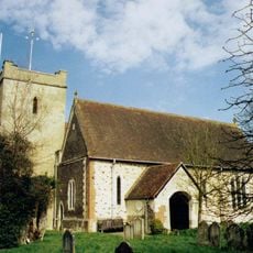
Church of St Mary
3.9 km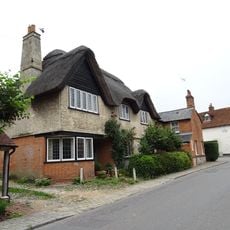
Plestor House
3.9 km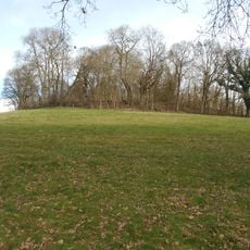
Hillfort on King John's Hill
4.7 km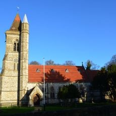
St Matthew's Church
75 m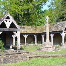
Blackmoor War Memorial
27 m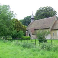
St Leonard's Church, Hartley Mauditt
4.5 km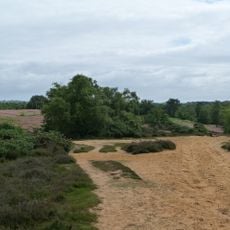
Kingsley Common
4.7 km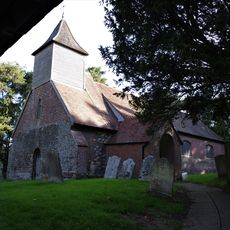
Church of St Nicholas
4.3 km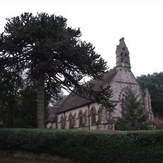
Church of All Saints
4.7 km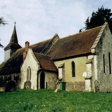
Church of the Holy Rood
3.5 km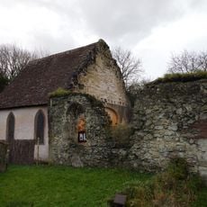
Old Church of St John
3.3 km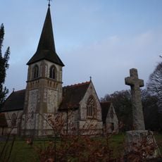
Church of St John the Baptist
3.2 km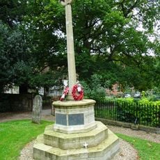
Selborne War Memorial
3.9 km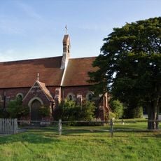
Congregational Chapel
3 km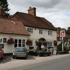
The Selborne Arms
3.8 km
Mabbotts Farmhouse
4.6 km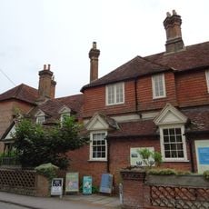
The Wakes
3.9 km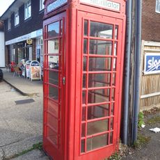
K6 Telephone Kiosk To North Of The Holly Bush Public House
5 km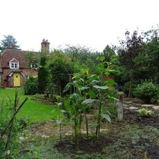
3 Candovers Long Candovers
3.2 km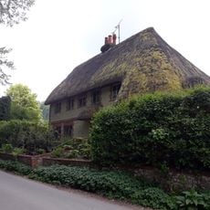
Trimmings
4.3 km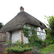
Wakes Cottages
3.9 km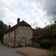
Fisher's Buildings Fisher's Corner Fisher's Cottage Fisher's Lodge
4.3 km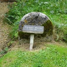
Gravestone Of Gilbert White North East Of The Vestry
3.8 km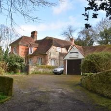
Hill Place
3.4 km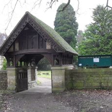
Churchyard Boundary Wall With Lychgate And Service Building
89 mRecensioni
Ha visitato questo luogo? Tocchi le stelle per valutarlo e condividere la Sua esperienza o foto con la community! Provalo ora! Puoi annullarlo in qualsiasi momento.
Scopri tesori nascosti ad ogni viaggio!
Da piccoli caffè caratteristici a panorami nascosti, fuggi dalla folla e scova i posti che fanno davvero per te. La nostra app ti semplifica tutto: ricerca vocale, filtri furbi, percorsi ottimizzati e dritte autentiche da viaggiatori di tutto il mondo. Scaricala subito per vivere l'avventura sul tuo smartphone!

Un nuovo approccio alla scoperta turistica❞
— Le Figaro
Tutti i luoghi che meritano di essere esplorati❞
— France Info
Un’escursione su misura in pochi clic❞
— 20 Minutes