
Bannutt Tree House, house in Rodborough, Stroud, Gloucestershire, UK
Posizione: Rodborough
Coordinate GPS: 51.73712,-2.21024
Ultimo aggiornamento: 14 maggio 2025 alle 19:29

Stroud Subscription Rooms
987 m
Rodborough Common
852 m
Town Hall
1 km
Frome Banks
710 m
Church of St Laurence
1.1 km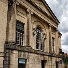
Congregational Church
1 km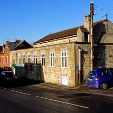
Church of Saint Alban
893 m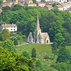
Cemetery Chapel
877 m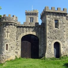
Rodborough Fort
714 m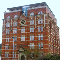
Hill Paul building
983 m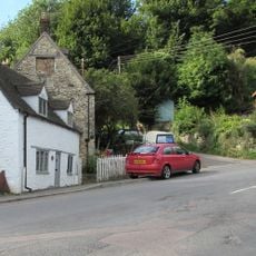
Bridge Cottage
130 m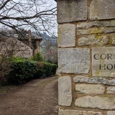
Corbett House And Corbett House Lodge
678 m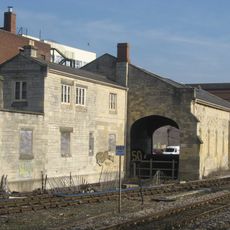
The Goods Shed
886 m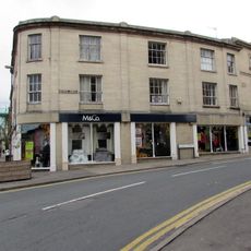
The Cooperative Stores
1.1 km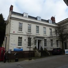
District Council Offices
1.1 km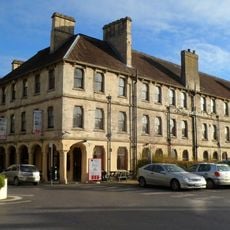
Imperial Hotel
1 km
Clock Tower
965 m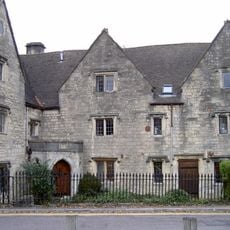
The Vicarage/garden railings at The Vicarage
1.1 km
57, High Street
1 km
9, John Street
892 m
58, High Street
1 km
The Chestnuts
206 m
High Street
933 m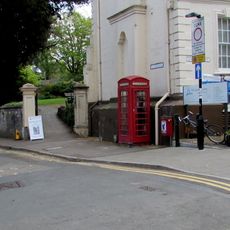
K6 Telephone Kiosk, High Street
1.1 km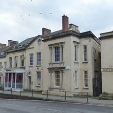
Numbers 1 to 10 (consecutive) including iron railings to areas of Numbers 1, 2, 3 and 6
1.1 km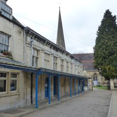
Church Hall
1 km
The Pike
243 m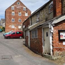
Piccadilly Mill East Block (Misters Wilkes)
728 mRecensioni
Ha visitato questo luogo? Tocchi le stelle per valutarlo e condividere la Sua esperienza o foto con la community! Provalo ora! Puoi annullarlo in qualsiasi momento.
Scopri tesori nascosti ad ogni viaggio!
Da piccoli caffè caratteristici a panorami nascosti, fuggi dalla folla e scova i posti che fanno davvero per te. La nostra app ti semplifica tutto: ricerca vocale, filtri furbi, percorsi ottimizzati e dritte autentiche da viaggiatori di tutto il mondo. Scaricala subito per vivere l'avventura sul tuo smartphone!

Un nuovo approccio alla scoperta turistica❞
— Le Figaro
Tutti i luoghi che meritano di essere esplorati❞
— France Info
Un’escursione su misura in pochi clic❞
— 20 Minutes