
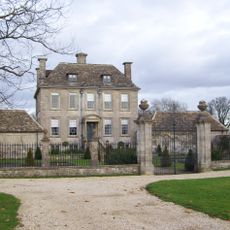
Bownham Grange, building in Rodborough, Stroud, Gloucestershire, UK
Posizione: Rodborough
Coordinate GPS: 51.72381,-2.21003
Ultimo aggiornamento: 26 marzo 2025 alle 21:55
Nether Lypiatt Manor
2 km
Woodchester Roman Villa
1.6 km
Minchinhampton Common
1.8 km
Rodborough Common
865 m
Convent Of Poor Clares
2.2 km
Neu-Lindsey Nature Reserve
1.7 km
Frome Banks
2.1 km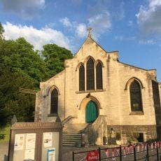
Church of the Holy Trinity
1.8 km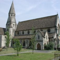
Church of Our Lady of the Annunciation
2.3 km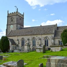
Church of St Mary Magdalene
2 km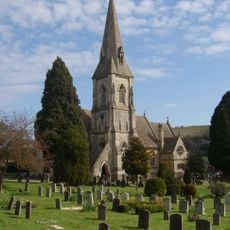
Church of St Mary
1.6 km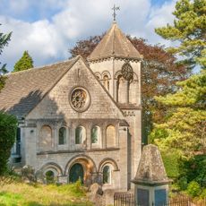
Church of the Holy Trinity
1.3 km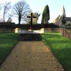
Inchbrook War Memorial
2.2 km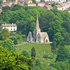
Cemetery Chapel
2.1 km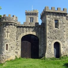
Rodborough Fort
1.4 km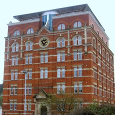
Hill Paul building
2.3 km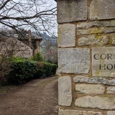
Corbett House And Corbett House Lodge
2.1 km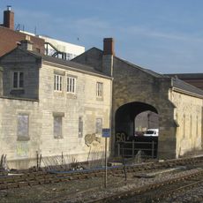
The Goods Shed
2.3 km
Clock Tower
2.4 km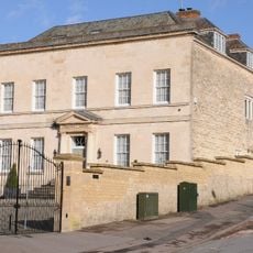
The Chestnuts
1.5 km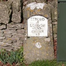
Milestone
2 km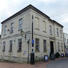
9, John Street
2.3 km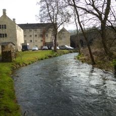
Main Mill Building At Bourne Mills
1.8 km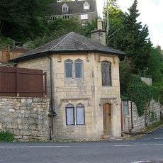
The Pike
1.2 km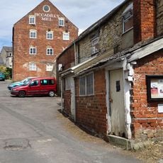
Piccadilly Mill East Block (Misters Wilkes)
2.2 km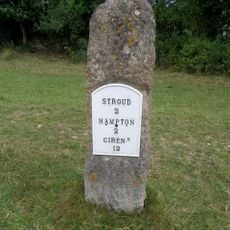
Milestone, Cirencester Road; Rodborough Common
675 m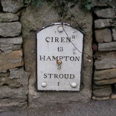
Milestone, Rodborough Hill
2 km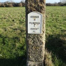
Milestone, Cirencester Road, Minchinhampton Common
1 kmRecensioni
Ha visitato questo luogo? Tocchi le stelle per valutarlo e condividere la Sua esperienza o foto con la community! Provalo ora! Puoi annullarlo in qualsiasi momento.
Scopri tesori nascosti ad ogni viaggio!
Da piccoli caffè caratteristici a panorami nascosti, fuggi dalla folla e scova i posti che fanno davvero per te. La nostra app ti semplifica tutto: ricerca vocale, filtri furbi, percorsi ottimizzati e dritte autentiche da viaggiatori di tutto il mondo. Scaricala subito per vivere l'avventura sul tuo smartphone!

Un nuovo approccio alla scoperta turistica❞
— Le Figaro
Tutti i luoghi che meritano di essere esplorati❞
— France Info
Un’escursione su misura in pochi clic❞
— 20 Minutes