
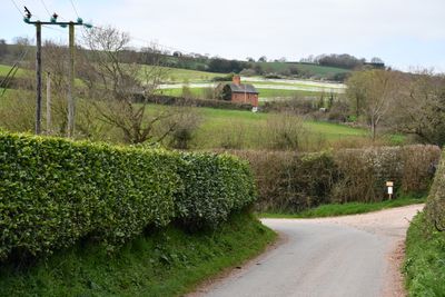
Kerswell Farmhouse, thatched farmhouse in Exminster, Teignbridge, Devon, UK
Posizione: Exminster
Coordinate GPS: 50.67109,-3.51631
Ultimo aggiornamento: 14 marzo 2025 alle 16:20
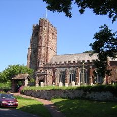
Church of St Andrew, Kenn
1.3 km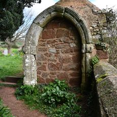
Medieval Masonry Built Into Wall And Shed North East Of The Church Of St Andrew
1.3 km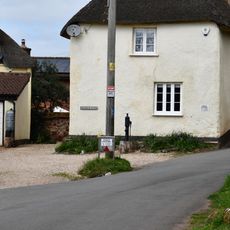
Pump Immediately South East Of Church House
1.4 km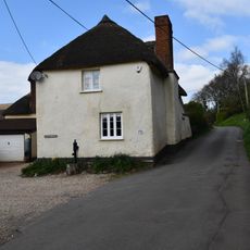
Church House
1.4 km
Lantern Cottage
1.4 km
Cottage Adjoining Bay Bush At The North West
1.3 km
Blackalls
931 m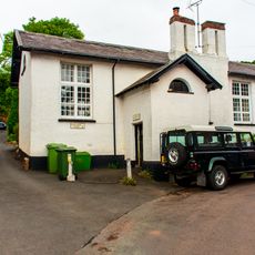
Village School And Pumphouse
1.3 km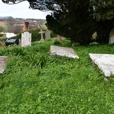
Group Of 3 Elliott Chest Tombs About 10 Metres North Of The Centre Of North Aisle Of The Church Of St Andrew
1.3 km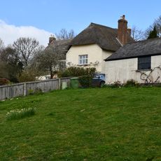
Chappel Court
1.3 km
Towsington Barton
1.1 km
Mary Tucker Chest Tomb About 3 Metres South Of The Tower Of The Church Of The Church Of St Andrew
1.4 km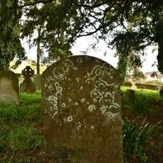
Sarel Headstone About 7 Metres South East Of Chancel Of The Church Of St Andrew
1.3 km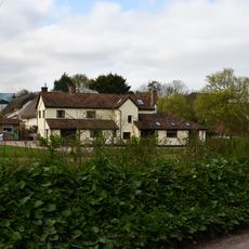
Damerosehay Cottage
809 m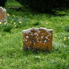
Amy Gibson Headstone About 15 Metres East Of Chancel Of The Church Of St Andrew
1.3 km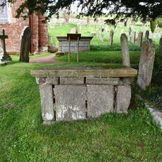
Simon Tanner Chest Tomb About 9 Metres South East Of Chancel Of Church Of St Andrew
1.4 km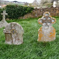
Pair Of Mayne Headstones About 24 Metres North Of The West Tower Of The Church Of St Andrew
1.3 km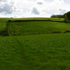
Earthwork enclosure S of Blackall's Copse
506 m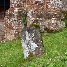
Volcanic Trap Headstone About 1 Metre South East Of The Porch Of Church Of St Andrew
1.4 km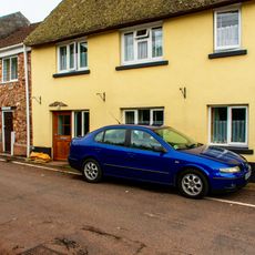
4, Pye Corner
1.4 km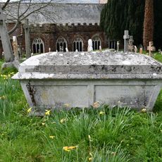
Ley Family Chest Tomb About 37 Metres North Of The Stair Turret Of The Church Of St Andrew
1.3 km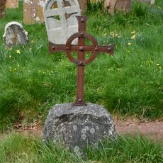
Elizabeth Dewdney Headstone About 19 Metres North Of The Vestry Of The Church Of St Andrew
1.3 km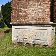
Group Of 3 Chest Tombs About 6 Metres South Of The Centre Of Aisle Of The Church Of St Andrew
1.4 km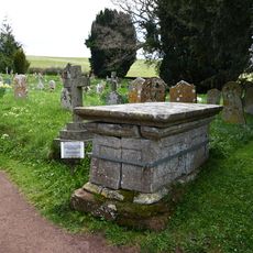
Parr Chest Tomb About 1.5 Metres South East Of Chancel Of The Church Of St Andrew
1.3 km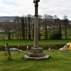
Churchyard Cross About 12 Metres South Of Church Of St Andrew
1.4 km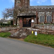
Lychgate to Church of St Andrews and Flight of Steps to South
1.4 km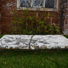
Chest Tomb Immediately South Of West End Of South Aisle Of Church Of St Andrew
1.3 km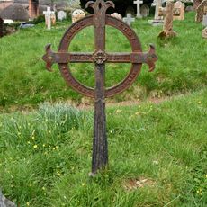
James Eddy Grave Marker About 10 Metres North East Of The Vestry Of The Church Of St Andrew
1.3 kmRecensioni
Ha visitato questo luogo? Tocchi le stelle per valutarlo e condividere la Sua esperienza o foto con la community! Provalo ora! Puoi annullarlo in qualsiasi momento.
Scopri tesori nascosti ad ogni viaggio!
Da piccoli caffè caratteristici a panorami nascosti, fuggi dalla folla e scova i posti che fanno davvero per te. La nostra app ti semplifica tutto: ricerca vocale, filtri furbi, percorsi ottimizzati e dritte autentiche da viaggiatori di tutto il mondo. Scaricala subito per vivere l'avventura sul tuo smartphone!

Un nuovo approccio alla scoperta turistica❞
— Le Figaro
Tutti i luoghi che meritano di essere esplorati❞
— France Info
Un’escursione su misura in pochi clic❞
— 20 Minutes