
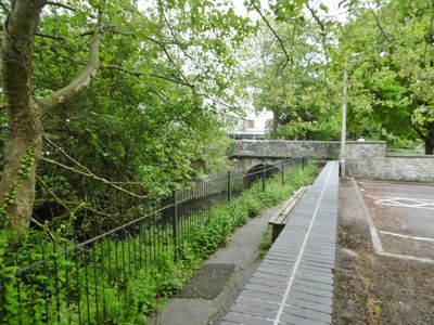
Town Bridge, bridge in Gillingham, North Dorset, Dorset, UK
Posizione: Gillingham
Coordinate GPS: 51.03764,-2.27555
Ultimo aggiornamento: 11 marzo 2025 alle 02:30

Wyndham's Oak
3.7 km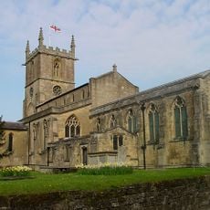
St Mary the Virgin, Gillingham, Dorset
146 m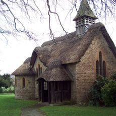
Church of St George Langham
1.9 km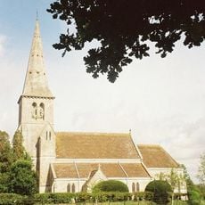
Church of St Simon and St Jude
2.2 km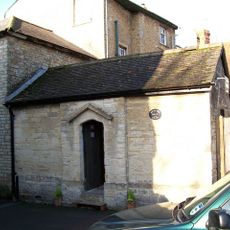
Lock-Up
113 m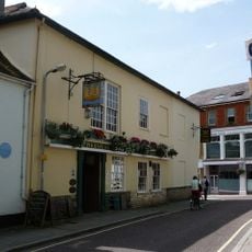
The Phoenix Hotel
146 m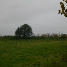
Longbury long barrow 600m north west of Slaughtergate Farm
2.2 km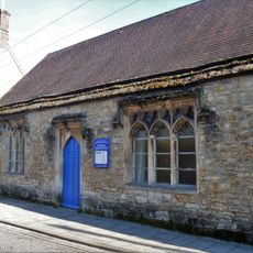
Vicarage Schoolroom
130 m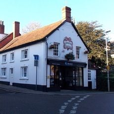
Premises Of Senior And Goodwin
119 m
King's Court Palace moated site
1.1 km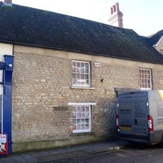
Premises Of Natural Harvest And Rutter And Rutter
116 m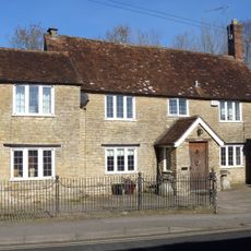
Little Chantry
323 m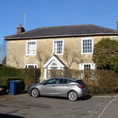
Broadhayes
205 m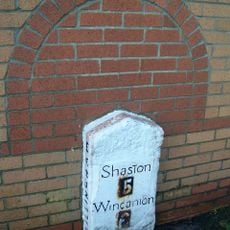
Milestone, by new road called Milestone way
940 m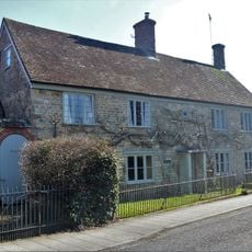
The Barton
146 m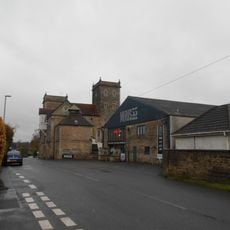
Wyke Brewery
1.2 km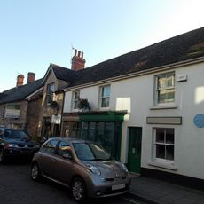
The Cat Boutique
115 m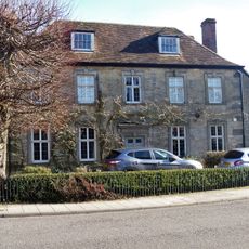
Lime Tree House
159 m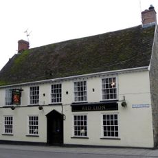
The Red Lion
89 m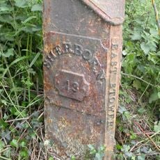
Milepost, Pennymoor Pitt Farm; 60m E of Farm
3.4 km
Old Toll House
494 m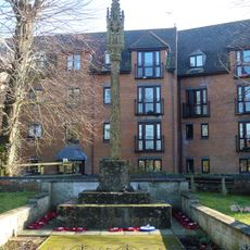
Gillingham War Memorial
75 m
Stour Motors
429 m
Madjestone Farm House
1.4 km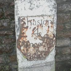
Milestone, by railway bridge
618 m
Milestone, northern end of village, just E of 90 degree bend, by entrance to some farm buildings
3.6 km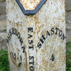
Milepost, half mile E of East Stour; opp. house called Northwood.
3.5 km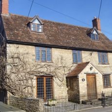
Folly's End
330 mRecensioni
Ha visitato questo luogo? Tocchi le stelle per valutarlo e condividere la Sua esperienza o foto con la community! Provalo ora! Puoi annullarlo in qualsiasi momento.
Scopri tesori nascosti ad ogni viaggio!
Da piccoli caffè caratteristici a panorami nascosti, fuggi dalla folla e scova i posti che fanno davvero per te. La nostra app ti semplifica tutto: ricerca vocale, filtri furbi, percorsi ottimizzati e dritte autentiche da viaggiatori di tutto il mondo. Scaricala subito per vivere l'avventura sul tuo smartphone!

Un nuovo approccio alla scoperta turistica❞
— Le Figaro
Tutti i luoghi che meritano di essere esplorati❞
— France Info
Un’escursione su misura in pochi clic❞
— 20 Minutes