
Sundial About 30 Metres South Of Church Of St Mary
Sundial About 30 Metres South Of Church Of St Mary, sundial in Frittenden, Tunbridge Wells, Kent, UK
Posizione: Frittenden
Coordinate GPS: 51.13875,0.59059
Ultimo aggiornamento: 28 marzo 2025 alle 13:02
Giardino del castello di Sissinghurst
2.6 km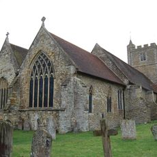
All Saints Church, Staplehurst
3.4 km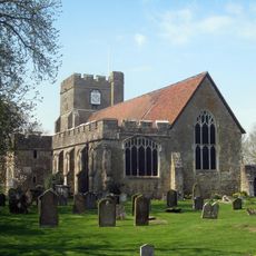
St Peter's and St Paul's Church, Headcorn
3.8 km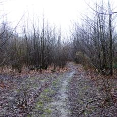
Sissinghurst Park Wood
2.4 km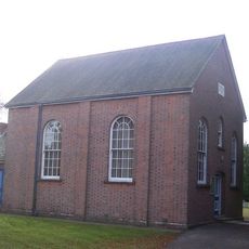
Ebenezer Chapel
3.6 km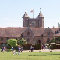
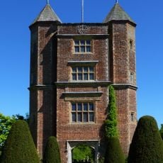
Sissinghurst Castle
2.7 km
Church of St Mary
40 m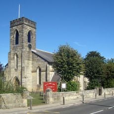
Church of the Holy Trinity
3.8 km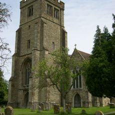
Parish Church of All Saints
4.4 km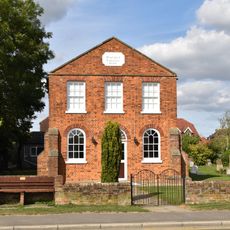
The Baptist Chapel
4 km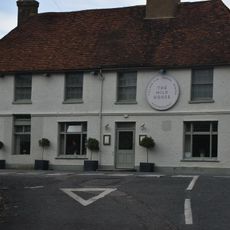
The Bull Public House
3.9 km
Tower and walls 30 yards east of the West Range at Sissinghurst Castle
2.6 km
Hubble's Stores Post Office
3.9 km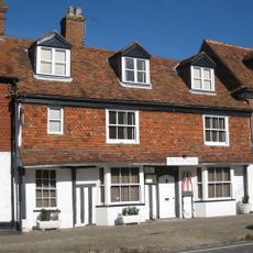
28 High Street
4.5 km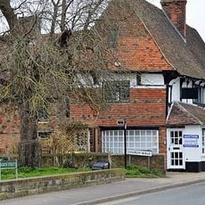
Cloth Hall
3.9 km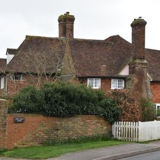
King's Head House
3.9 km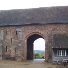
Barn 60 Yards North Of The West Range Of Sissinghurst Castle
2.6 km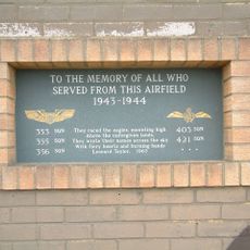
RAF Lashenden Memorial
4.3 km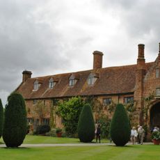
West Range at Sissinghurst Castle
2.6 km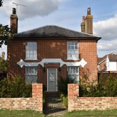
The Manse
4 km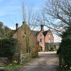
Sissinghurst Castle Farmhouse
2.7 km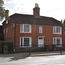
Manor Farmhouse
3.9 km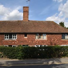
69, High Street
4 km
1-5, Forge Lane
4 km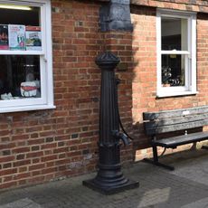
Pump Adjacent To No 30
3.9 km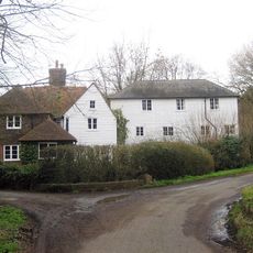
Maplehurst Mill
1.3 km
Frittenden War Memorial
365 m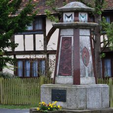
Headcorn War Memorial
3.9 kmRecensioni
Ha visitato questo luogo? Tocchi le stelle per valutarlo e condividere la Sua esperienza o foto con la community! Provalo ora! Puoi annullarlo in qualsiasi momento.
Scopri tesori nascosti ad ogni viaggio!
Da piccoli caffè caratteristici a panorami nascosti, fuggi dalla folla e scova i posti che fanno davvero per te. La nostra app ti semplifica tutto: ricerca vocale, filtri furbi, percorsi ottimizzati e dritte autentiche da viaggiatori di tutto il mondo. Scaricala subito per vivere l'avventura sul tuo smartphone!

Un nuovo approccio alla scoperta turistica❞
— Le Figaro
Tutti i luoghi che meritano di essere esplorati❞
— France Info
Un’escursione su misura in pochi clic❞
— 20 Minutes