
Verralls Oak, building in Egerton, Ashford, Kent, UK
Posizione: Egerton
Coordinate GPS: 51.19951,0.73423
Ultimo aggiornamento: 2 novembre 2025 alle 03:52
Chilston Park
2.7 km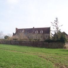
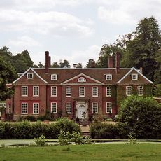
Boughton Place
3.3 km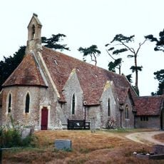
Church of the Holy Trinity
1.8 km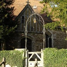
Church of St Nicholas
3.3 km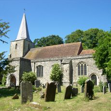
Church of St Nicholas
3.1 km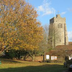
Church of St James
561 m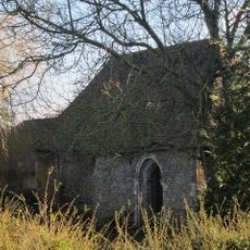
Chapel At Newlands Stud Farm
2.5 km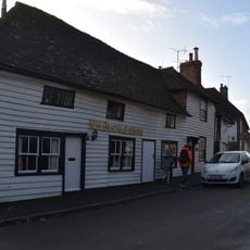
Church House
594 m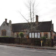
Pluckley Church Of England Primary School
3 km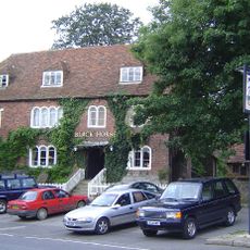
The Black Horse Inn
3 km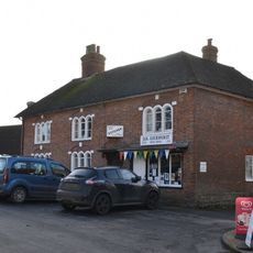
Premises Occupied By A G Homewood Butcher Street House
3 km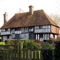
Link House
1.6 km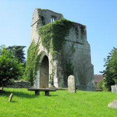
St Mary's Church (remains of)
2.7 km
Tollgate House
2.9 km
Mill House
579 m
Egerton House
993 m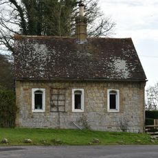
Gate Lodge To Former Surrenden Dering, 300 Metres To South East Of Church Of St Nicholas, Pluckley
3.2 km
Hazeldene Farmhouse
2.1 km
Munday Farmhouse
2.7 km
Payne Street
1.3 km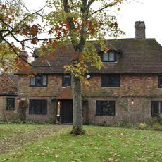
Mundy Bois House
2.5 km
Granary And Oasthouse To The South-west Of Sheerland Farmhouse
3.4 km
Ragged House Farmhouse
2.1 km
Oasthouse Adjoining Bakers Mead
3.5 km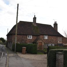
Fir Tree Cottage
3.1 km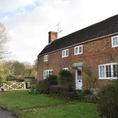
Star And Garter Cottage
1.7 km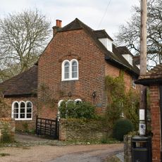
Yew Tree Cottage
3.1 km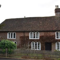
Church Gates Church Gates Cottage
3.1 kmRecensioni
Ha visitato questo luogo? Tocchi le stelle per valutarlo e condividere la Sua esperienza o foto con la community! Provalo ora! Puoi annullarlo in qualsiasi momento.
Scopri tesori nascosti ad ogni viaggio!
Da piccoli caffè caratteristici a panorami nascosti, fuggi dalla folla e scova i posti che fanno davvero per te. La nostra app ti semplifica tutto: ricerca vocale, filtri furbi, percorsi ottimizzati e dritte autentiche da viaggiatori di tutto il mondo. Scaricala subito per vivere l'avventura sul tuo smartphone!

Un nuovo approccio alla scoperta turistica❞
— Le Figaro
Tutti i luoghi che meritano di essere esplorati❞
— France Info
Un’escursione su misura in pochi clic❞
— 20 Minutes