
Cole Hill Linked Farmbuildings, building in Sedgefield, County Durham, UK
Posizione: Sedgefield
Coordinate GPS: 54.67993,-1.34100
Ultimo aggiornamento: 30 settembre 2025 alle 22:17
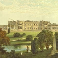
Wynyard Park
6.1 km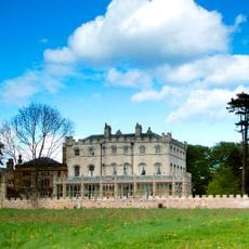
The Castle, Castle Eden
6.9 km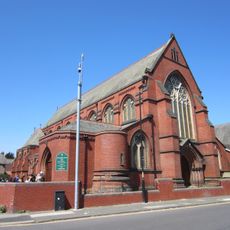
St Joseph's Presbytery
7.8 km
Ward Jackson Park
6.5 km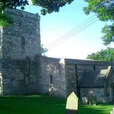
Church of St Mary Magdalene
5.5 km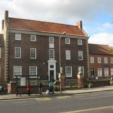
The Manor House
7.7 km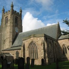
Church of St Edmund
7.5 km
Park Drive
6.2 km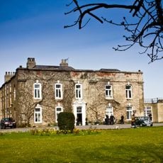
Hardwick Hall Manor Hotel
7.7 km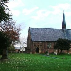
Church of St Peter
6.7 km
Church of St. Mary Magdalene
6 km
Church of St James
6.6 km
Church of St Mary
2.1 km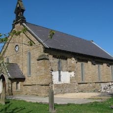
Church of the Holy Trinity
5.9 km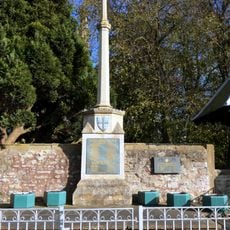
War Memorial, 40 Metres West of Church of St Edmund
7.6 km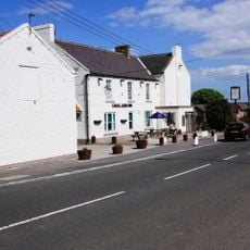
Castle Eden Inn
5.8 km
St Luke's Church
7.1 km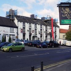
Hardwick Arms Hotel
7.7 km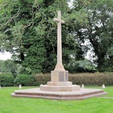
Castle Eden War Memorial
6.3 km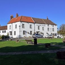
Crosshill Hotel
7.6 km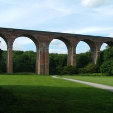
Crimdon Dene Viaduct
7.4 km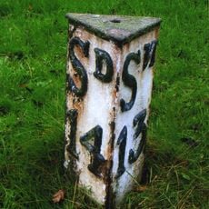
Milepost, 10 Metres North Of Restalrig
5.9 km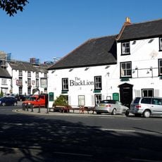
Black Lion Public House And Former Stable Wing
7.7 km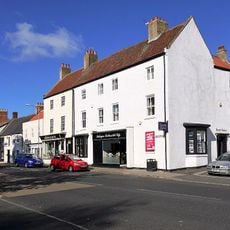
Nss Newsagents
7.6 km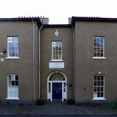
Ceddesfeld Hall
7.6 km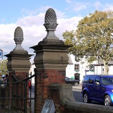
Gate Piers, 10 Metres East Of Magistrate's Court House
7.7 km
Hutton House
4.6 km
The White House
7.6 kmRecensioni
Ha visitato questo luogo? Tocchi le stelle per valutarlo e condividere la Sua esperienza o foto con la community! Provalo ora! Puoi annullarlo in qualsiasi momento.
Scopri tesori nascosti ad ogni viaggio!
Da piccoli caffè caratteristici a panorami nascosti, fuggi dalla folla e scova i posti che fanno davvero per te. La nostra app ti semplifica tutto: ricerca vocale, filtri furbi, percorsi ottimizzati e dritte autentiche da viaggiatori di tutto il mondo. Scaricala subito per vivere l'avventura sul tuo smartphone!

Un nuovo approccio alla scoperta turistica❞
— Le Figaro
Tutti i luoghi che meritano di essere esplorati❞
— France Info
Un’escursione su misura in pochi clic❞
— 20 Minutes