
Outbuildings And Yard Walls To North West Of Startforth Hall
Outbuildings And Yard Walls To North West Of Startforth Hall, appendage in Startforth, County Durham, UK
Posizione: Startforth
Coordinate GPS: 54.53745,-1.93268
Ultimo aggiornamento: 5 aprile 2025 alle 13:48
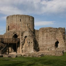
Barnard Castle
824 m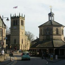
Market Cross
782 m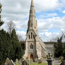
Church of Holy Trinity
319 m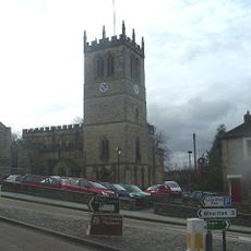
Church of St Mary
781 m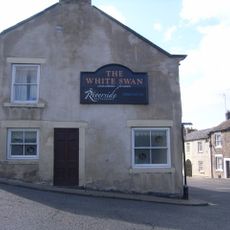
The White Swan Public House And Swan Cottage
652 m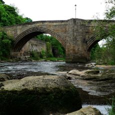
Barnard Castle Bridge
681 m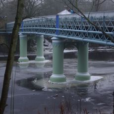
Deepdale Aqueduct
946 m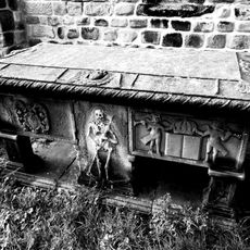
Hopper Tomb Approximately 2 Metres South Of Church Of St Mary
762 m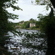
Former Mill To Rear Of Number 22
561 m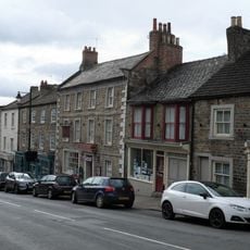
The Old Well
712 m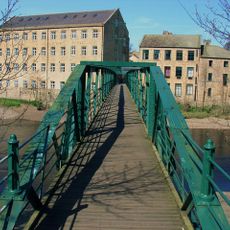
Thorngate Footbridge
482 m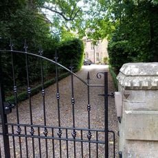
The Vicarage And Glebe Cottage
984 m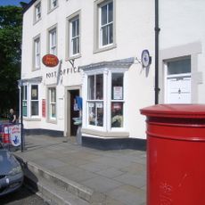
Post Office Post Office And Brampton House
964 m
21, Galgate
1 km
14 (Left Part), Market Place
792 m
24, The Bank
720 m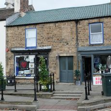
6, 6A And 6B, Galgate
977 m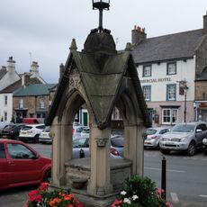
Pant
1 km
41, Newgate
918 m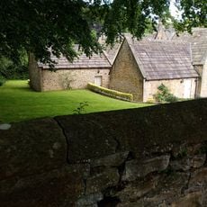
Former Stable, Outbuildings And Walls To The Vicarage And Glebe Cottage
974 m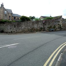
Garden Walls To East Of Numbers 64 And 66, Spring Grove Garden Walls To Spring Grove, Newgate
999 m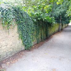
Walls Around Spring Lodge Garden
1 km
60, Newgate
959 m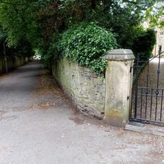
Walls To The Vicarage And Glebe Cottage
1 km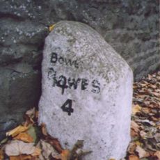
Milestone At Nz 0484 1631
657 m
31, 31A And 31B, Horse Market
937 m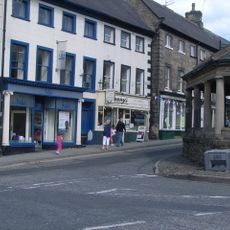
2 And 4, Market Place
771 m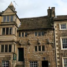
Blagraves
700 mRecensioni
Ha visitato questo luogo? Tocchi le stelle per valutarlo e condividere la Sua esperienza o foto con la community! Provalo ora! Puoi annullarlo in qualsiasi momento.
Scopri tesori nascosti ad ogni viaggio!
Da piccoli caffè caratteristici a panorami nascosti, fuggi dalla folla e scova i posti che fanno davvero per te. La nostra app ti semplifica tutto: ricerca vocale, filtri furbi, percorsi ottimizzati e dritte autentiche da viaggiatori di tutto il mondo. Scaricala subito per vivere l'avventura sul tuo smartphone!

Un nuovo approccio alla scoperta turistica❞
— Le Figaro
Tutti i luoghi che meritano di essere esplorati❞
— France Info
Un’escursione su misura in pochi clic❞
— 20 Minutes