
Bandstand To West Of Bowling Green, bandstand in Darlington, County Durham, UK
Posizione: Darlington
Coordinate GPS: 54.52993,-1.55541
Ultimo aggiornamento: 2 ottobre 2025 alle 14:03
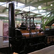
Locomotion No 1
676 m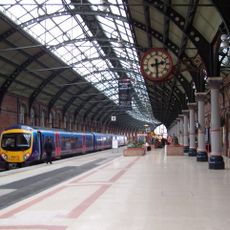
Darlington railway station
1.1 km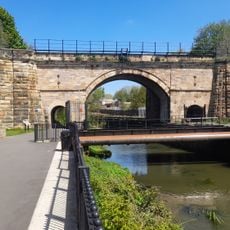
Skerne Bridge
596 m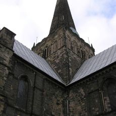
Church of St Cuthbert
658 m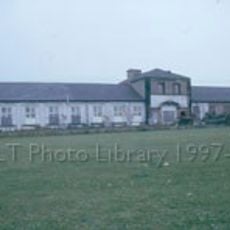
Hopetown Carriage Works
669 m
South Park
1.6 km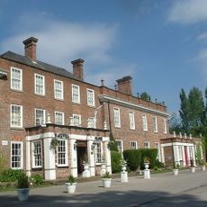
Blackwell Grange
2 km
Darlington Town Hall
711 m
Church of St John the Evangelist
1.1 km
Church of Holy Trinity
604 m
Church of St James
1.1 km
Roman Catholic Church of St Augustine
728 m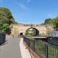
Head of Steam Darlington Railway Museum
664 m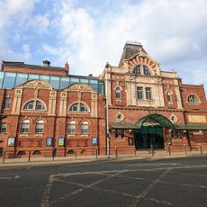
Darlington Hippodrome
747 m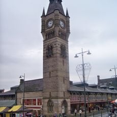
Darlington Clock Tower
568 m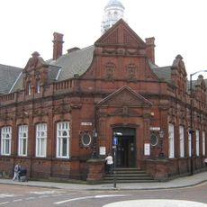
Darlington Library
450 m
Statue of Joseph Pease
441 m
Barclays Bank
494 m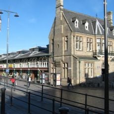
The Market Building
587 m
South African War Memorial Within St Cuthbert's Churchyard
629 m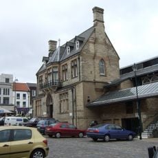
Old Town Hall
620 m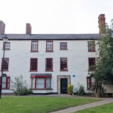
Pease's House
675 m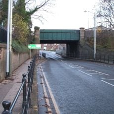
Bridge over North Road, Darlington
622 m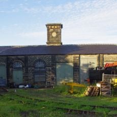
Goods Shed East South East Of North Road Station
589 m
Pierremont Crescent, by No. 27
1.2 km
Allan Street, next to St James church
1.1 km
Carmel Road North, nr Ravensthorpe School, between Abbey Road and Cleveland Terrace
1.7 km
Cleveland Street, opp. York Street
862 mRecensioni
Ha visitato questo luogo? Tocchi le stelle per valutarlo e condividere la Sua esperienza o foto con la community! Provalo ora! Puoi annullarlo in qualsiasi momento.
Scopri tesori nascosti ad ogni viaggio!
Da piccoli caffè caratteristici a panorami nascosti, fuggi dalla folla e scova i posti che fanno davvero per te. La nostra app ti semplifica tutto: ricerca vocale, filtri furbi, percorsi ottimizzati e dritte autentiche da viaggiatori di tutto il mondo. Scaricala subito per vivere l'avventura sul tuo smartphone!

Un nuovo approccio alla scoperta turistica❞
— Le Figaro
Tutti i luoghi che meritano di essere esplorati❞
— France Info
Un’escursione su misura in pochi clic❞
— 20 Minutes