
Terrace Wall North Of Witton Castle Main Range
Terrace Wall North Of Witton Castle Main Range, wall in Evenwood and Barony, County Durham, UK
Posizione: Evenwood and Barony
Coordinate GPS: 54.66879,-1.76377
Ultimo aggiornamento: 2 giugno 2025 alle 19:51
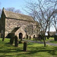
Escomb Church
3.6 km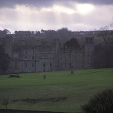
Castello di Witton
83 m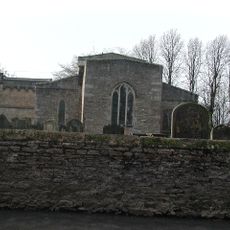
Church of St Helen
5.1 km
Witton-le-Wear
1.1 km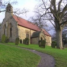
Church of St Philip and St James
1 km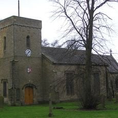
Church of St Cuthbert
2.4 km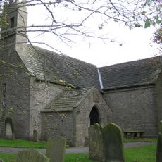
Church of St James
2.6 km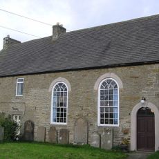
Hamsterley Baptist Chapel
3.5 km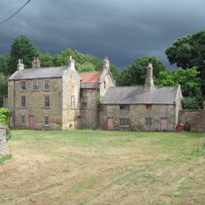
Helmington Hall
4.6 km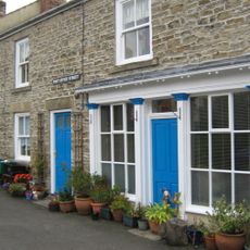
Post Office
900 m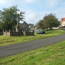
Hamsterley War Memorial
3.4 km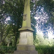
Evenwood War Memorial
4.8 km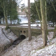
Bridge C.300 Metres South-East Of Witton Castle
181 m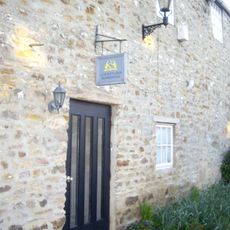
The Old Manor House Hotel
4.8 km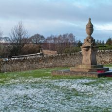
Fir Tree War Memorial Drinking Fountain
4.3 km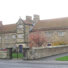
The Old Hall
5 km
County Council Marker Stone In Front Of No. 13
2.7 km
Remains of the Stockton and Darlington Railway
4 km
Guide Post Opposite Number 1 South View Cottage
3.4 km
Hunwick Hall North West and North East Ranges
4.1 km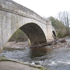
Witton Bridge
621 m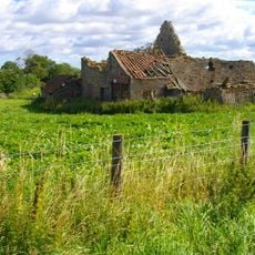
Farm Buildings C.200 Metres North-West Of Green Field Farm
2.7 km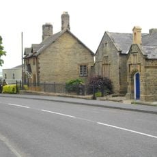
Former Parish School And Wall Attached
2.4 km
Hunwick Hall Farmhouse
4.1 km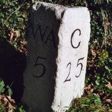
Milestone North Of Witton Le Wear
2.2 km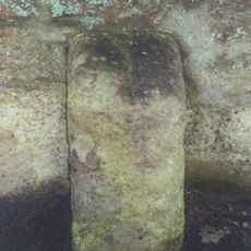
High Etherley
2.6 km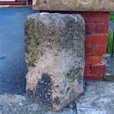
Toft Hill
2.2 km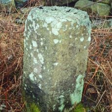
Fir Tree
3.6 kmRecensioni
Ha visitato questo luogo? Tocchi le stelle per valutarlo e condividere la Sua esperienza o foto con la community! Provalo ora! Puoi annullarlo in qualsiasi momento.
Scopri tesori nascosti ad ogni viaggio!
Da piccoli caffè caratteristici a panorami nascosti, fuggi dalla folla e scova i posti che fanno davvero per te. La nostra app ti semplifica tutto: ricerca vocale, filtri furbi, percorsi ottimizzati e dritte autentiche da viaggiatori di tutto il mondo. Scaricala subito per vivere l'avventura sul tuo smartphone!

Un nuovo approccio alla scoperta turistica❞
— Le Figaro
Tutti i luoghi che meritano di essere esplorati❞
— France Info
Un’escursione su misura in pochi clic❞
— 20 Minutes