
Linked Barn, Gin-Gang And Byre To East Of Morley Farmhouse
Linked Barn, Gin-Gang And Byre To East Of Morley Farmhouse, building in Brancepeth, County Durham, UK
Posizione: Brancepeth
Coordinate GPS: 54.74904,-1.65814
Ultimo aggiornamento: 17 marzo 2025 alle 03:35
Ushaw College
4.4 km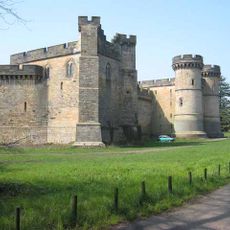
Brancepeth Castle
1.8 km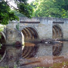
Sunderland Bridge
4.7 km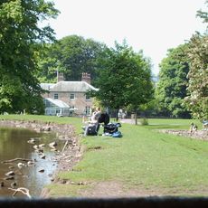
Whitworth Hall, County Durham
5 km
Durham University, Oriental Museum
5.2 km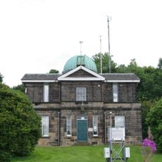
Durham University Observatory
5.1 km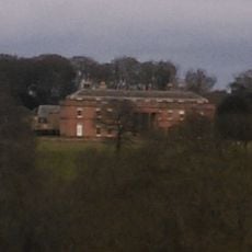
Burn Hall
4 km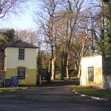
Mount Oswald
4.8 km
Whitworth Hall Country Park
4.9 km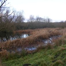
Butterby Oxbow
5.4 km
Oriental Museum
5.2 km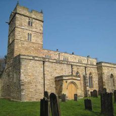
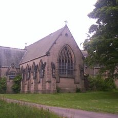
Church of St Brandon
1.7 km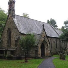
Whitworth Parish Church
4.9 km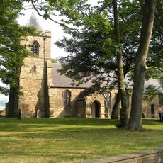
Church of St Stephen
4.4 km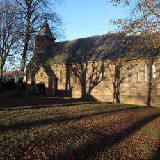
Church of St Edmund
4.2 km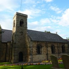
Church of St Bartholomew
4.9 km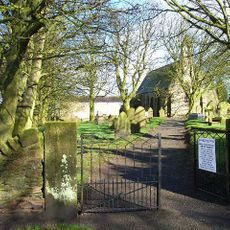
Church of St Michael
5.2 km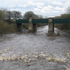
Croxdale Road Bridge
4.8 km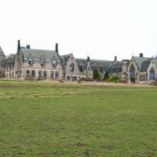
Former Junior Seminary Chapel Of St Aloysius At St. Cuthbert's College, Ushaw
4.3 km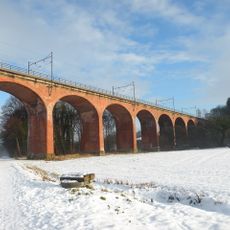
Croxdale Viaduct
4.6 km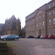
Complex Of Chapels At The College Of St Cuthbert, Ushaw
4.3 km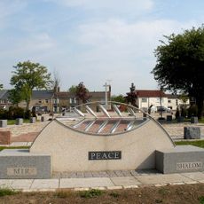
Willington, Oakenshaw, and Page Bank War Memorial Cross
4.8 km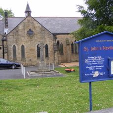
St John's Neville's Cross
4.9 km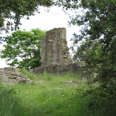
Beaurepaire Manor House
5 km
Neville's Cross
4.9 km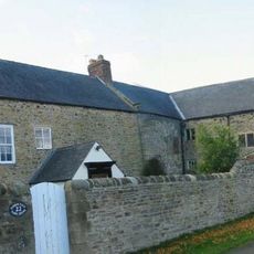
Tudhoe Hall Farm And Tudhoe Hall
5.3 km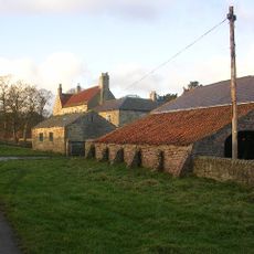
Low Butterby Farmhouse And Barn Adjoining At South-east
5.4 km
The Hall With Outbuilding, And Piers And Wall Attached
5 kmRecensioni
Ha visitato questo luogo? Tocchi le stelle per valutarlo e condividere la Sua esperienza o foto con la community! Provalo ora! Puoi annullarlo in qualsiasi momento.
Scopri tesori nascosti ad ogni viaggio!
Da piccoli caffè caratteristici a panorami nascosti, fuggi dalla folla e scova i posti che fanno davvero per te. La nostra app ti semplifica tutto: ricerca vocale, filtri furbi, percorsi ottimizzati e dritte autentiche da viaggiatori di tutto il mondo. Scaricala subito per vivere l'avventura sul tuo smartphone!

Un nuovo approccio alla scoperta turistica❞
— Le Figaro
Tutti i luoghi che meritano di essere esplorati❞
— France Info
Un’escursione su misura in pochi clic❞
— 20 Minutes