
Washbrook Farm, agricultural structure in Painswick, Stroud, Gloucestershire, UK
Posizione: Painswick
Coordinate GPS: 51.78393,-2.20865
Ultimo aggiornamento: 26 marzo 2025 alle 23:18
Beacon House
958 m
Edge Common
983 m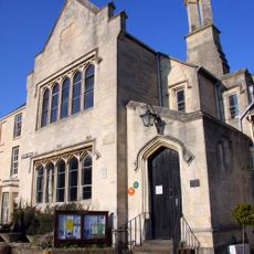
Town Hall
994 m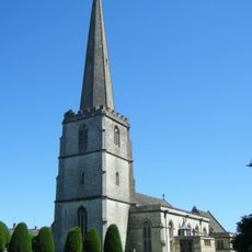
Church of St Mary
965 m
The Country Elephant
1 km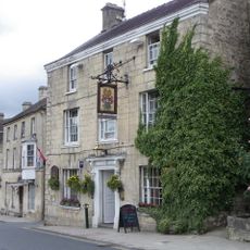
The Falcon Hotel
924 m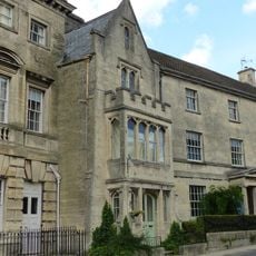
The Fiery Beacon
963 m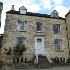
Rossway
939 m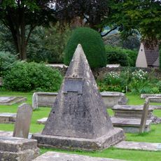
John Bryan Monument circa 25 metres in the churchyard south east of lych gate to the Church of St Mary
907 m
The Post Office and The Beehive
999 m
Painswick War Memorial
962 m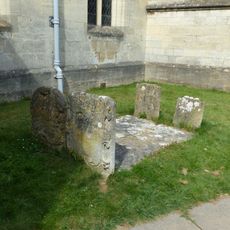
Four unidentified monuments circa 2 metres south of south aisle wall in the Churchyard of the Church of St Mary
969 m
Beaconsfield House
972 m
Lamp House
990 m
Painswick Library
871 m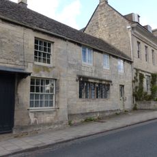
Packers
891 m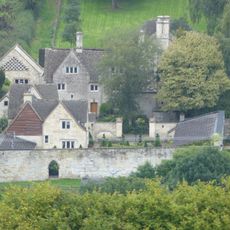
The Sheephouse
984 m
Hazelbury Cottage
884 m
Hazelbury House
894 m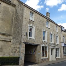
The Old Bakery
983 m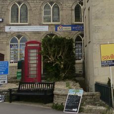
K6 Telephone Kiosk
982 m
Spire House
914 m
Gatepiers and walls to Hazelbury House
907 m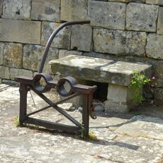
The Stocks
1 km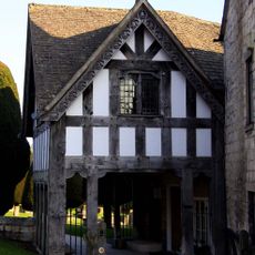
The Lych Gate
887 m
St Andrews
945 m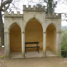
Gothic seat circa 150 metres south west of Painswick House
1 km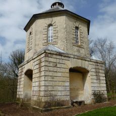
Pigeon House at Painswick House
1 kmRecensioni
Ha visitato questo luogo? Tocchi le stelle per valutarlo e condividere la Sua esperienza o foto con la community! Provalo ora! Puoi annullarlo in qualsiasi momento.
Scopri tesori nascosti ad ogni viaggio!
Da piccoli caffè caratteristici a panorami nascosti, fuggi dalla folla e scova i posti che fanno davvero per te. La nostra app ti semplifica tutto: ricerca vocale, filtri furbi, percorsi ottimizzati e dritte autentiche da viaggiatori di tutto il mondo. Scaricala subito per vivere l'avventura sul tuo smartphone!

Un nuovo approccio alla scoperta turistica❞
— Le Figaro
Tutti i luoghi che meritano di essere esplorati❞
— France Info
Un’escursione su misura in pochi clic❞
— 20 Minutes